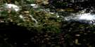
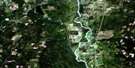
Red Rock Satellite Image Map
Download Free Aerial Photo 093G10 at 1:50,000 scale
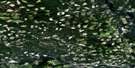
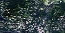
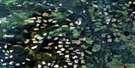
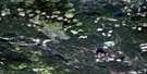
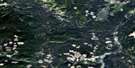
Red Rock Satellite Imagery
To view this satellite map, mouse over the air photo on the right.
You can also download this satellite image map for free:
093G10 Red Rock high-resolution satellite image map.
Maps for the Red Rock aerial map sheet 093G10 at 1:50,000 scale are also available in these versions:
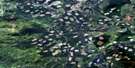
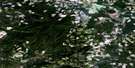
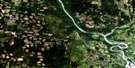
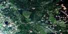
Red Rock Surrounding Area Aerial Photo Maps
 |
 |
 |
 |
 |
 |
 |
 |
 |
 |
 |
 |
 |
 |
 |
 |
© Department of Natural Resources Canada. All rights reserved.
Red Rock Gazetteer
The following places can be found on satellite image map 093G10 Red Rock:
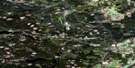
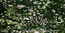
Red Rock Satellite Image: Lakes
Buckhorn LakeErickson Lake
Fyfe Lake
Government Lake
Hutda Lake
Lynx Lake
Michael Lake
Nadsilnich Lake
Nelson Lake
Oscar Lake
Red Rock Lake
Redrock Lake
Shesta Lake
Trapping Lake
Wishon Lake
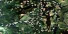
Red Rock Satellite Image: Mountains
Mount Baldy HughesRed Rock Satellite Image: Major municipal/district area - major agglomerations
Regional District of Fraser-Fort GeorgeRed Rock Satellite Image: Conservation areas
Fort George Canyon ParkThree Sisters Lakes Park
West Lake Park
Red Rock Satellite Image: Plains
Fraser PlateauInterior Plateau
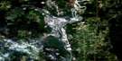
Red Rock Satellite Image: Rivers
Beaverdyke CreekBeaverley Creek
Brooks Creek
Cale Creek
Crysdale Creek
Dodd Creek
Fraser River
Fyfe Creek
Government Creek
Grundell Creek
Jacks Creek
Leigh Creek
Little Red Creek
McCorkall Creek
McKenzie Creek
Patterson Creek
Red Rock Creek
Redrock Creek
South McCorkall Creek
St. George Creek
Stone Creek
Trapping Creek
Wishon Creek
Red Rock Satellite Image: Unincorporated areas
Baldy HughesCale
Crysdale
Red Rock
Stoner
Woodpecker
Woodpecker
Red Rock Satellite Image: Valleys
Fort George Canyon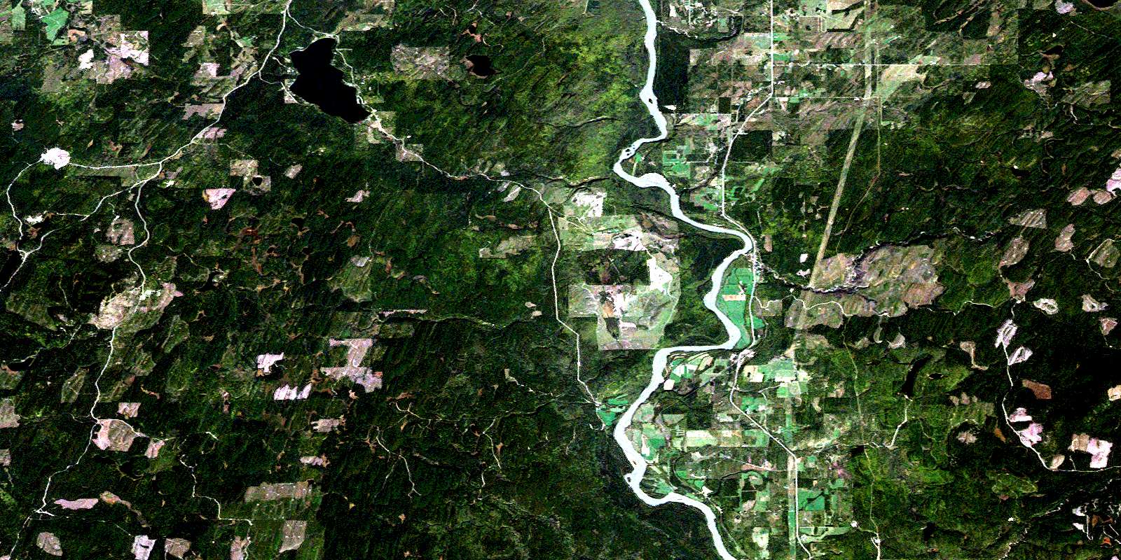
© Department of Natural Resources Canada. All rights reserved.
093G Related Maps:
093G Prince George093G01 Cottonwood
093G02 Cottonwood Canyon
093G03 Pantage Lake
093G04 Coglistiko River
093G05 Pelican Lake
093G06 Punchaw Lake
093G07 Hixon
093G08 Ahbau Lake
093G09 Pitoney Lake
093G10 Red Rock
093G11 Bobtail Mountain
093G12 Chilako River
093G13 Hulatt
093G14 Isle Pierre
093G15 Prince George
093G16E Wansa Creek
093G16W Wansa Creek
