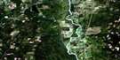
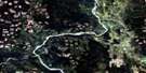
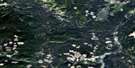
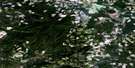
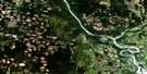
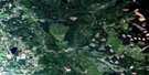
Coglistiko River Satellite Image Map
Download Free Aerial Photo 093G04 at 1:50,000 scale
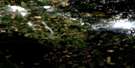
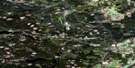
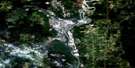
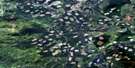
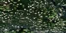
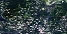
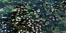
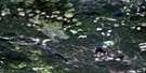
Coglistiko River Satellite Imagery
To view this satellite map, mouse over the air photo on the right.
You can also download this satellite image map for free:
093G04 Coglistiko River high-resolution satellite image map.
Maps for the Coglistiko River aerial map sheet 093G04 at 1:50,000 scale are also available in these versions:
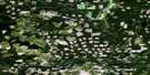
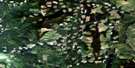
Coglistiko River Surrounding Area Aerial Photo Maps
 |
 |
 |
 |
 |
 |
 |
 |
 |
 |
 |
 |
 |
 |
 |
 |
© Department of Natural Resources Canada. All rights reserved.
Coglistiko River Gazetteer
The following places can be found on satellite image map 093G04 Coglistiko River:
Coglistiko River Satellite Image: Cliffs
Chine BluffCoglistiko River Satellite Image: Indian Reserves
Euchinico Creek Indian Reserve 17Euchinico Creek Indian Reserve 18
Redwater Creek Indian Reserve 30
Réserve indienne Euchinico Creek 17
Réserve indienne Euchinico Creek 18
Réserve indienne Redwater Creek 30
Réserve indienne Trout Lake Alec 16
Réserve indienne Trout Lake Jonny 15
Trout Lake Alec Indian Reserve 16
Trout Lake Jonny Indian Reserve 15
Coglistiko River Satellite Image: Lakes
Coglistiko LakeKluskoil Lake
Rainbow Lake
Redwater Lake
Teepee Lake
Coglistiko River Satellite Image: Mountains
Kluskoil KnollCoglistiko River Satellite Image: Major municipal/district area - major agglomerations
Cariboo Regional DistrictCoglistiko River Satellite Image: Conservation areas
Kluskoil Lake ParkCoglistiko River Satellite Image: Plains
Fraser PlateauInterior Plateau
Nechako Plateau
Coglistiko River Satellite Image: Rivers
Baezaeko RiverCoglistiko River
Euchiniko River
Nazko River
Redwater Creek
Snaking River
West Road (Blackwater) River
Coglistiko River Satellite Image: Unincorporated areas
Nazko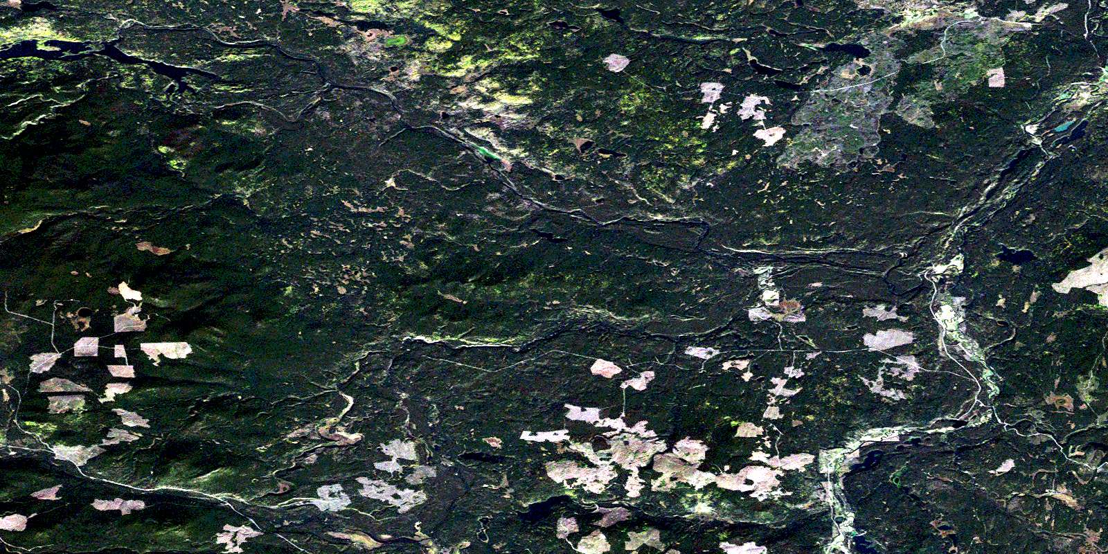
© Department of Natural Resources Canada. All rights reserved.
093G Related Maps:
093G Prince George093G01 Cottonwood
093G02 Cottonwood Canyon
093G03 Pantage Lake
093G04 Coglistiko River
093G05 Pelican Lake
093G06 Punchaw Lake
093G07 Hixon
093G08 Ahbau Lake
093G09 Pitoney Lake
093G10 Red Rock
093G11 Bobtail Mountain
093G12 Chilako River
093G13 Hulatt
093G14 Isle Pierre
093G15 Prince George
093G16E Wansa Creek
093G16W Wansa Creek
