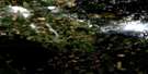
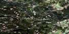
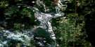
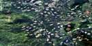
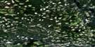
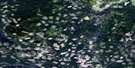
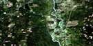
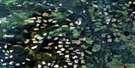
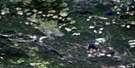
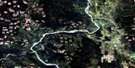
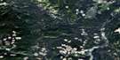
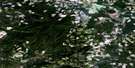
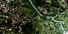
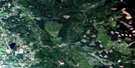
Prince George Satellite Image Map
Download Free Aerial Photo 093G15 at 1:50,000 scale
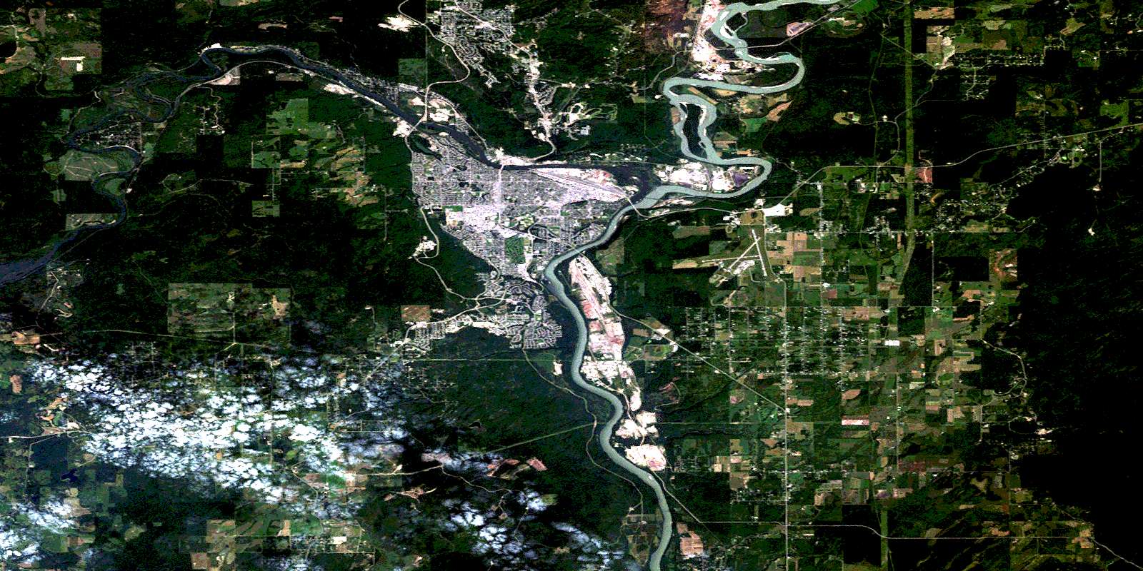
Prince George Satellite Imagery
To view this satellite map, mouse over the air photo on the right.
You can also download this satellite image map for free:
093G15 Prince George high-resolution satellite image map.
Maps for the Prince George aerial map sheet 093G15 at 1:50,000 scale are also available in these versions:
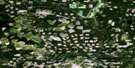
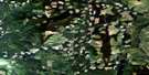
Prince George Surrounding Area Aerial Photo Maps
 |
 |
 |
 |
 |
 |
 |
 |
 |
 |
 |
 |
 |
 |
 |
 |
© Department of Natural Resources Canada. All rights reserved.
Prince George Gazetteer
The following places can be found on satellite image map 093G15 Prince George:
Prince George Satellite Image: City
Prince GeorgePrince George Satellite Image: Indian Reserves
Clesbaoneecheck Indian Reserve 3Fort George Cemetery Indian Reserve 1A
Réserve indienne Clesbaoneecheck 3
Réserve indienne Fort George Cemetery 1A
Réserve indienne Salaquo (Chilako River) 4
Salaquo (Chilako River) Indian Reserve 4
Prince George Satellite Image: Islands
Cottonwood IslandGoat Island
Prince George Satellite Image: Lakes
Aird LakeBobs Pond
Buckhorn Lake
Haggith Lake
Hudsons Bay Slough
Shane Lake
Tabor Lake
Prince George Satellite Image: Mountains
Carney HillConnaught Hill
Cranbrook Hill
Prince George Satellite Image: Major municipal/district area - major agglomerations
Regional District of Fraser-Fort GeorgePrince George Satellite Image: Conservation areas
McMillan Creek ParkPrince George Satellite Image: Plains
Interior PlateauPrince George Satellite Image: Rivers
Aird CreekBeaverley Creek
Bertschi Creek
Bittner Creek
Brodman Creek
Cale Creek
Chilako River
Corless Creek
Dodd Creek
Dougherty Creek
Eenastick Creek
Ellacott Creek
Fleuve Fraser
Fraser River
Fyfe Creek
Garvin Creek
Haggith Creek
McMillan Creek
Nechako River
Ohr Creek
Parkridge Creek
Porter Creek
Shane Creek
Skaret Creek
Starbaby Creek
Swede Creek
Tabor Creek
Tabor Mountain Creek
Vienna Creek
Zogas Creek
Prince George Satellite Image: Unincorporated areas
BasfordBeaverley
Bonnet Hill
Bridge
Buckhorn
Carlson
Charella Garden
Chilako
College Heights
Foreman
Fraserview
Hart Highlands
Huble
Island Cache
Miller
Miworth
Nichols
North Nechako
Otway
Pineview
Shady Valley
Shelley
Somerville
South Fort George
Tabor
Vanway
© Department of Natural Resources Canada. All rights reserved.
093G Related Maps:
093G Prince George093G01 Cottonwood
093G02 Cottonwood Canyon
093G03 Pantage Lake
093G04 Coglistiko River
093G05 Pelican Lake
093G06 Punchaw Lake
093G07 Hixon
093G08 Ahbau Lake
093G09 Pitoney Lake
093G10 Red Rock
093G11 Bobtail Mountain
093G12 Chilako River
093G13 Hulatt
093G14 Isle Pierre
093G15 Prince George
093G16E Wansa Creek
093G16W Wansa Creek
