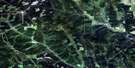
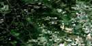
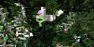
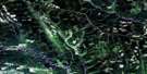
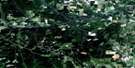
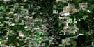
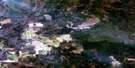
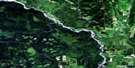
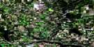
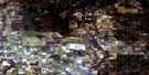
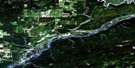
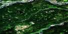
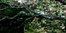
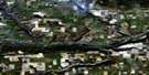
Hudson Hope Satellite Image Map
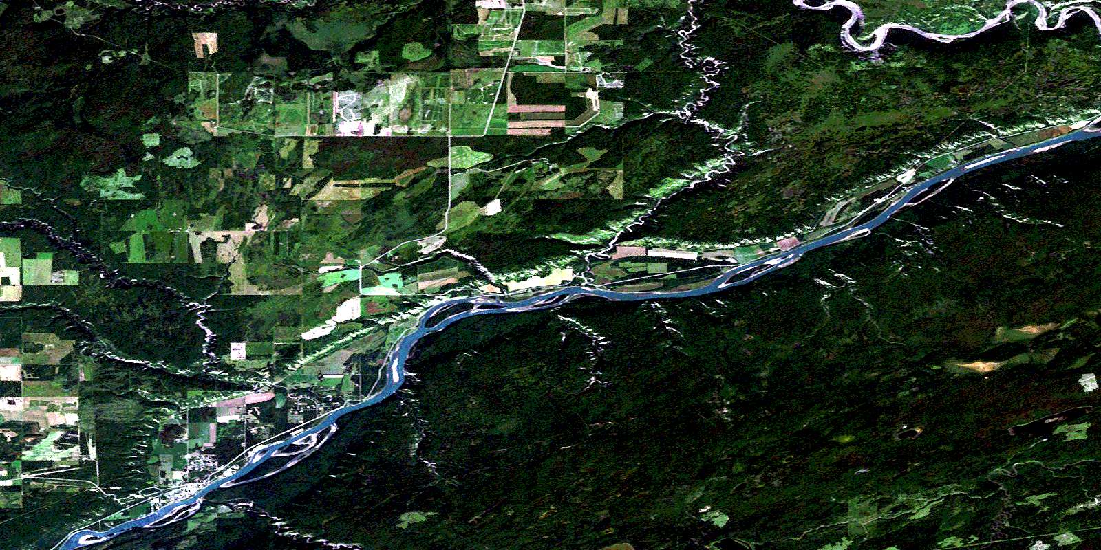
Download Free Aerial Photo 094A04 at 1:50,000 scale
Hudson Hope Satellite Imagery
To view this satellite map, mouse over the air photo on the right.
You can also download this satellite image map for free:
094A04 Hudson Hope high-resolution satellite image map.
Maps for the Hudson Hope aerial map sheet 094A04 at 1:50,000 scale are also available in these versions:
Hudson Hope Surrounding Area Aerial Photo Maps
 |
 |
 |
 |
 |
 |
 |
 |
 |
 |
 |
 |
 |
 |
 |
 |
© Department of Natural Resources Canada. All rights reserved.
Hudson Hope Gazetteer
The following places can be found on satellite image map 094A04 Hudson Hope:
Hudson Hope Satellite Image: Channels
The GatesHudson Hope Satellite Image: District municipality
Hudson's HopeHudson Hope Satellite Image: Lakes
Boucher LakeHudson Hope Satellite Image: Major municipal/district area - major agglomerations
Peace River Regional DistrictHudson Hope Satellite Image: Plains
Peace River LowlandHudson Hope Satellite Image: Rivers
Alder CreekBrenot Creek
Dry Creek
Farrell Creek
Halfway River
Lynx Creek
Maurice Creek
Moberly River
Peace River
Portage Creek
Rivière de la Paix
Wapoose Creek
Hudson Hope Satellite Image: Road features
Rocky Mountain PortageHudson Hope Satellite Image: Shoals
The Coffee PotHudson Hope Satellite Image: Unincorporated areas
Farrell CreekHudson Hope
Hudson's Hope
Lynx Creek
© Department of Natural Resources Canada. All rights reserved.
094A Related Maps:
094A Charlie Lake094A01 Shearer Dale
094A02 Fort St John
094A03 Moberly River
094A04 Hudson Hope
094A05 Ground Birch Creek
094A06 Bear Flat
094A07 North Pine
094A08 Alces River
094A09 Osborn River
094A10 Rose Prairie
094A11 Murdale
094A12 Deadhorse Creek
094A13 Aitken Creek
094A14 Snyder Creek
094A15 Milligan Creek
094A16 Doig River
