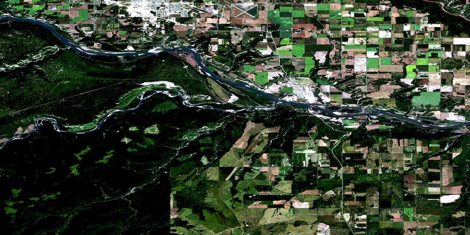
Fort St John Satellite Image Map
Download Free Aerial Photo 094A02 at 1:50,000 scale
Fort St John Satellite Imagery
To view this satellite map, mouse over the air photo on the right.
You can also download this satellite image map for free:
094A02 Fort St John high-resolution satellite image map.
Maps for the Fort St John aerial map sheet 094A02 at 1:50,000 scale are also available in these versions:
Fort St John Surrounding Area Aerial Photo Maps
 |
 |
 |
 |
 |
 |
 |
 |
 |
 |
 |
 |
 |
 |
 |
 |
© Department of Natural Resources Canada. All rights reserved.
Fort St John Gazetteer
The following places can be found on satellite image map 094A02 Fort St John:
Fort St John Satellite Image: City
Fort St. JohnFort St John Satellite Image: District municipality
TaylorFort St John Satellite Image: Lakes
Tower LakeFort St John Satellite Image: Major municipal/district area - major agglomerations
Peace River Regional DistrictFort St John Satellite Image: Conservation areas
Fort St. John Historic ParkPeace Island Park
Taylor Landing Park
Fort St John Satellite Image: Plains
Beckwiths FlatPallings Flat
Peace River Lowland
Fort St John Satellite Image: Rivers
Beatton RiverEight Mile Creek
Eightmile Creek
Moberly River
Peace River
Pine River
Pingel Creek
Rivière de la Paix
Septimus Creek
Six Mile Creek
Tea Creek
Fort St John Satellite Image: Unincorporated areas
AennofieldBaldonnel
Grand Haven
Mile 715.9
Old Fort
Septimus
South Taylor
Teko
Tower Lake
Two Rivers
Fort St John Satellite Image: Valleys
Allens CouleeArnetts Coulee
Birleys Coulee
Bouffioux Coulee
Crawfords Coulee
FlavellsCoulee
Four Mile Creek
Kellys Coulee
Mason Coulee
Rudyk Coulee
© Department of Natural Resources Canada. All rights reserved.
094A Related Maps:
094A Charlie Lake094A01 Shearer Dale
094A02 Fort St John
094A03 Moberly River
094A04 Hudson Hope
094A05 Ground Birch Creek
094A06 Bear Flat
094A07 North Pine
094A08 Alces River
094A09 Osborn River
094A10 Rose Prairie
094A11 Murdale
094A12 Deadhorse Creek
094A13 Aitken Creek
094A14 Snyder Creek
094A15 Milligan Creek
094A16 Doig River
