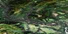
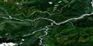
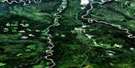
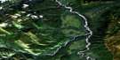
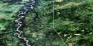
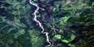
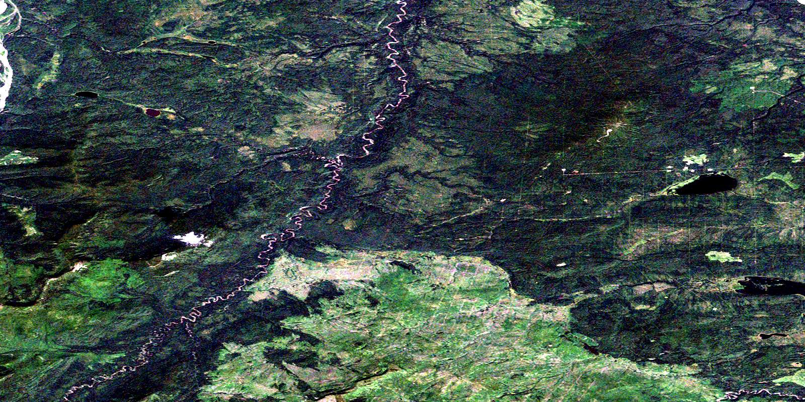
Akue Creek Satellite Image Map
Download Free Aerial Photo 094J11 at 1:50,000 scale
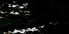
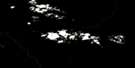
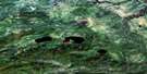
Akue Creek Satellite Imagery
To view this satellite map, mouse over the air photo on the right.
You can also download this satellite image map for free:
094J11 Akue Creek high-resolution satellite image map.
Maps for the Akue Creek aerial map sheet 094J11 at 1:50,000 scale are also available in these versions:
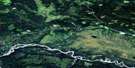
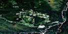
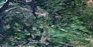
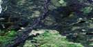
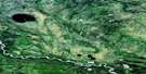
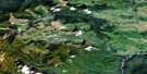
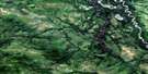
Akue Creek Surrounding Area Aerial Photo Maps
 |
 |
 |
 |
 |
 |
 |
 |
 |
 |
 |
 |
 |
 |
 |
 |
© Department of Natural Resources Canada. All rights reserved.
Akue Creek Gazetteer
The following places can be found on satellite image map 094J11 Akue Creek:
Akue Creek Satellite Image: Lakes
Klowee LakeMilo Lake
Akue Creek Satellite Image: Major municipal/district area - major agglomerations
Fort Nelson-Liard Regional DistrictAkue Creek Satellite Image: Rivers
Akue CreekCheves Creek
Milo Creek
Muskwa River
Tsachehdza Creek
© Department of Natural Resources Canada. All rights reserved.
094J Related Maps:
094J Fort Nelson094J01 Klua Lakes
094J02 Prophet River
094J03E Tenaka Creek
094J03W Tenaka Creek
094J04E Gathto Creek
094J04W Gathto Creek
094J05E Tuchodi River
094J05W Tuchodi River
094J06E Cheves Creek
094J06W Cheves Creek
094J07 Big Beaver Creek
094J08 Klua Creek
094J09 Clarke Lake
094J10 Jackfish Creek
094J11 Akue Creek
094J12 Chischa River
094J13 Kledo Creek
094J14 Rasberry Creek
094J15 Fort Nelson
094J16 Chuatse Creek
