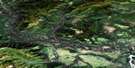
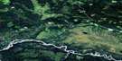
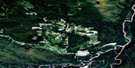
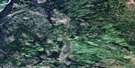
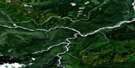
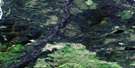
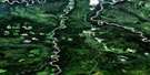
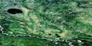
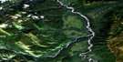
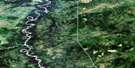
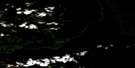
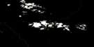
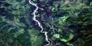
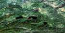
Fort Nelson Satellite Image Map
Download Free Aerial Photo 094J15 at 1:50,000 scale
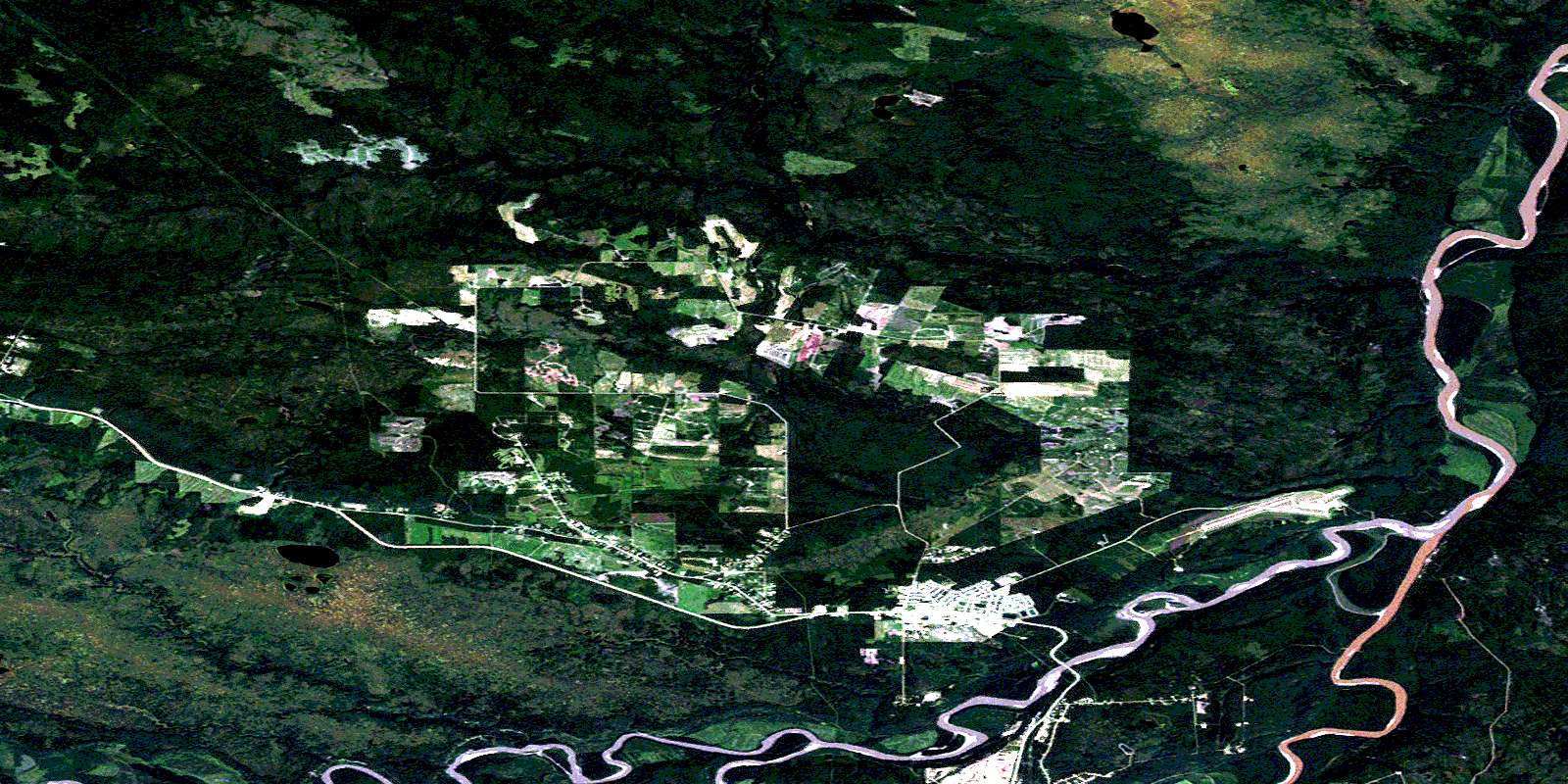
Fort Nelson Satellite Imagery
To view this satellite map, mouse over the air photo on the right.
You can also download this satellite image map for free:
094J15 Fort Nelson high-resolution satellite image map.
Maps for the Fort Nelson aerial map sheet 094J15 at 1:50,000 scale are also available in these versions:
Fort Nelson Surrounding Area Aerial Photo Maps
 |
 |
 |
 |
 |
 |
 |
 |
 |
 |
 |
 |
 |
 |
 |
 |
© Department of Natural Resources Canada. All rights reserved.
Fort Nelson Gazetteer
The following places can be found on satellite image map 094J15 Fort Nelson:
Fort Nelson Satellite Image: Indian Reserves
Fort Nelson Indian Reserve 2Réserve indienne Fort Nelson 2
Fort Nelson Satellite Image: Lakes
Parker LakeTsimeh Lakes
Fort Nelson Satellite Image: Mountains
Poplar HillsFort Nelson Satellite Image: Major municipal/district area - major agglomerations
Fort Nelson-Liard Regional DistrictFort Nelson Satellite Image: Conservation areas
Art Fraser ParkFort Nelson Centennial Park
Fort Nelson Satellite Image: Rivers
Cridland CreekDonaldson Creek
Fort Nelson River
McConachie Creek
Muskwa River
Pebble Creek
Pouce Creek
Prophet River
Tsimeh Creek
Fort Nelson Satellite Image: Towns
Fort NelsonFort Nelson Satellite Image: Unincorporated areas
Fort NelsonFort Nelson
Muskwa
Muskwa
Old Fort Nelson
Otter Park
© Department of Natural Resources Canada. All rights reserved.
094J Related Maps:
094J Fort Nelson094J01 Klua Lakes
094J02 Prophet River
094J03E Tenaka Creek
094J03W Tenaka Creek
094J04E Gathto Creek
094J04W Gathto Creek
094J05E Tuchodi River
094J05W Tuchodi River
094J06E Cheves Creek
094J06W Cheves Creek
094J07 Big Beaver Creek
094J08 Klua Creek
094J09 Clarke Lake
094J10 Jackfish Creek
094J11 Akue Creek
094J12 Chischa River
094J13 Kledo Creek
094J14 Rasberry Creek
094J15 Fort Nelson
094J16 Chuatse Creek
