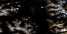
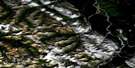
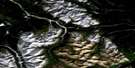
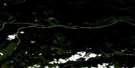
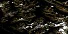
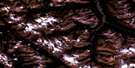
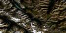
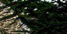
Normandy Mountain Satellite Image Map
Download Free Aerial Photo 094K06 at 1:50,000 scale
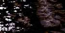
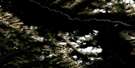
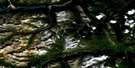
Normandy Mountain Satellite Imagery
To view this satellite map, mouse over the air photo on the right.
You can also download this satellite image map for free:
094K06 Normandy Mountain high-resolution satellite image map.
Maps for the Normandy Mountain aerial map sheet 094K06 at 1:50,000 scale are also available in these versions:
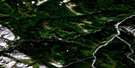
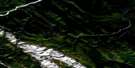
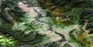
Normandy Mountain Surrounding Area Aerial Photo Maps
 |
 |
 |
 |
 |
 |
 |
 |
 |
 |
 |
 |
 |
 |
 |
 |
© Department of Natural Resources Canada. All rights reserved.
Normandy Mountain Gazetteer
The following places can be found on satellite image map 094K06 Normandy Mountain:
Normandy Mountain Satellite Image: Mountains
Alexandria PeakArnhem Mountain
Battle of Britain Range
Caen Mountain
Cairo Peak
Casablanca Peak
Churchill Peak
Claremont Tower
Dieppe Mountain
Exploration Peak
Falaise Mountain
Montagnes Rocheuses
Mount Roosevelt
Muskwa Ranges
Normandy Mountain
Rocky Mountains
Scheldt Mountain
schjeld Mountain
Tehran Peak
Tower of London Range
Normandy Mountain Satellite Image: Major municipal/district area - major agglomerations
Fort Nelson-Liard Regional DistrictNormandy Mountain Satellite Image: Conservation areas
Wokkpash Recreation AreaNormandy Mountain Satellite Image: Rivers
Churchill CreekDelano Creek
Magnum Creek
Racing River
Toad River
Normandy Mountain Satellite Image: Unincorporated areas
Magnum MineNormandy Mountain Satellite Image: Valleys
Grizzly Pass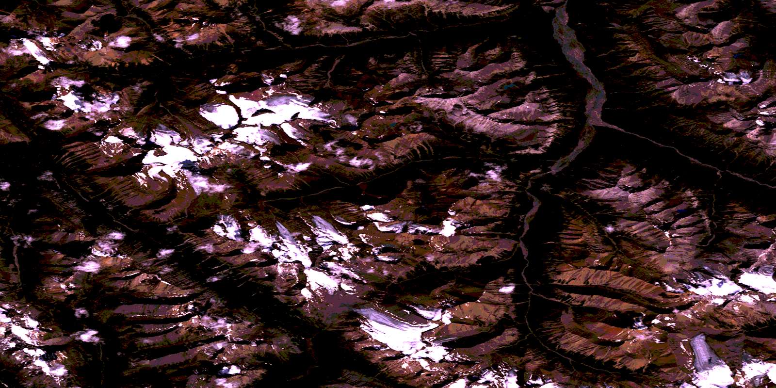
© Department of Natural Resources Canada. All rights reserved.
094K Related Maps:
094K Tuchodi Lakes094K01E Mount Sylvia
094K01W Mount Sylvia
094K02 Sicily Mountain
094K03 Churchill Peak
094K04 No Title
094K05 No Title
094K06 Normandy Mountain
094K07 Wokkpash Lake
094K08E Chlotapecta Creek
094K08W Chlotapecta Creek
094K09 North Tetsa River
094K10 Mount St George
094K11 Yedhe Mountain
094K12 Yedhe Creek
094K13 Muncho Lake
094K14 Toad Hot Springs
094K15 Stone Mountain
094K16 Mcclennan Creek
