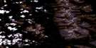
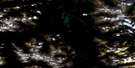
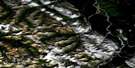
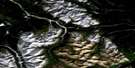
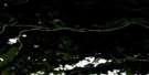
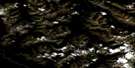
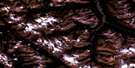
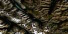
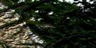
Sicily Mountain Satellite Image Map
Download Free Aerial Photo 094K02 at 1:50,000 scale
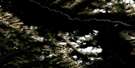
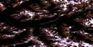
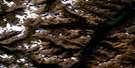
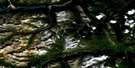
Sicily Mountain Satellite Imagery
To view this satellite map, mouse over the air photo on the right.
You can also download this satellite image map for free:
094K02 Sicily Mountain high-resolution satellite image map.
Maps for the Sicily Mountain aerial map sheet 094K02 at 1:50,000 scale are also available in these versions:
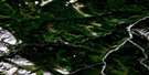
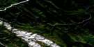
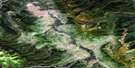
Sicily Mountain Surrounding Area Aerial Photo Maps
 |
 |
 |
 |
 |
 |
 |
 |
 |
 |
 |
 |
 |
 |
 |
 |
© Department of Natural Resources Canada. All rights reserved.
Sicily Mountain Gazetteer
The following places can be found on satellite image map 094K02 Sicily Mountain:
Sicily Mountain Satellite Image: Geographical areas
Cassiar Land DistrictSicily Mountain Satellite Image: Lakes
Freddie LakeTuchodi Lakes
Sicily Mountain Satellite Image: Mountains
Battle of Britain RangeCampobasso Mountain
Geordie Peak
King Peak
Lindisfarne Peak
Liri Mountain
Merchant Taylors Peaks
Montagnes Rocheuses
Mount Aida
Muskwa Ranges
Ortona Mountain
Potsdam Peak
Quebec Citadel Peak
Rocky Mountains
Savio Mountain
Senio Mountain
Sicily Mountain
Tower of London Range
Yalta Peak
Sicily Mountain Satellite Image: Major municipal/district area - major agglomerations
Fort Nelson-Liard Regional DistrictSicily Mountain Satellite Image: Conservation areas
Kwadacha Wilderness ParkWokkpash Recreation Area
Sicily Mountain Satellite Image: Rivers
Gataga RiverJoplin Creek
Racing River
Tuchodi River
Sicily Mountain Satellite Image: Valleys
Gataga Pass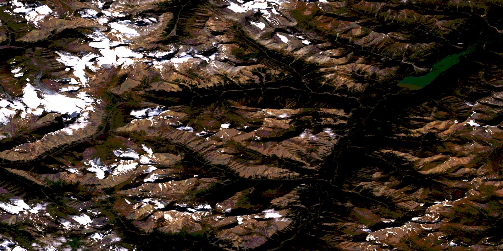
© Department of Natural Resources Canada. All rights reserved.
094K Related Maps:
094K Tuchodi Lakes094K01E Mount Sylvia
094K01W Mount Sylvia
094K02 Sicily Mountain
094K03 Churchill Peak
094K04 No Title
094K05 No Title
094K06 Normandy Mountain
094K07 Wokkpash Lake
094K08E Chlotapecta Creek
094K08W Chlotapecta Creek
094K09 North Tetsa River
094K10 Mount St George
094K11 Yedhe Mountain
094K12 Yedhe Creek
094K13 Muncho Lake
094K14 Toad Hot Springs
094K15 Stone Mountain
094K16 Mcclennan Creek
