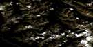
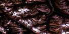
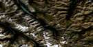
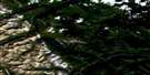
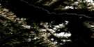
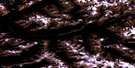
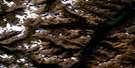
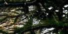
Wokkpash Lake Satellite Image Map
Download Free Aerial Photo 094K07 at 1:50,000 scale
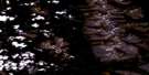
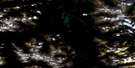
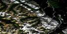
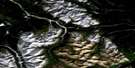
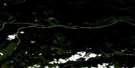
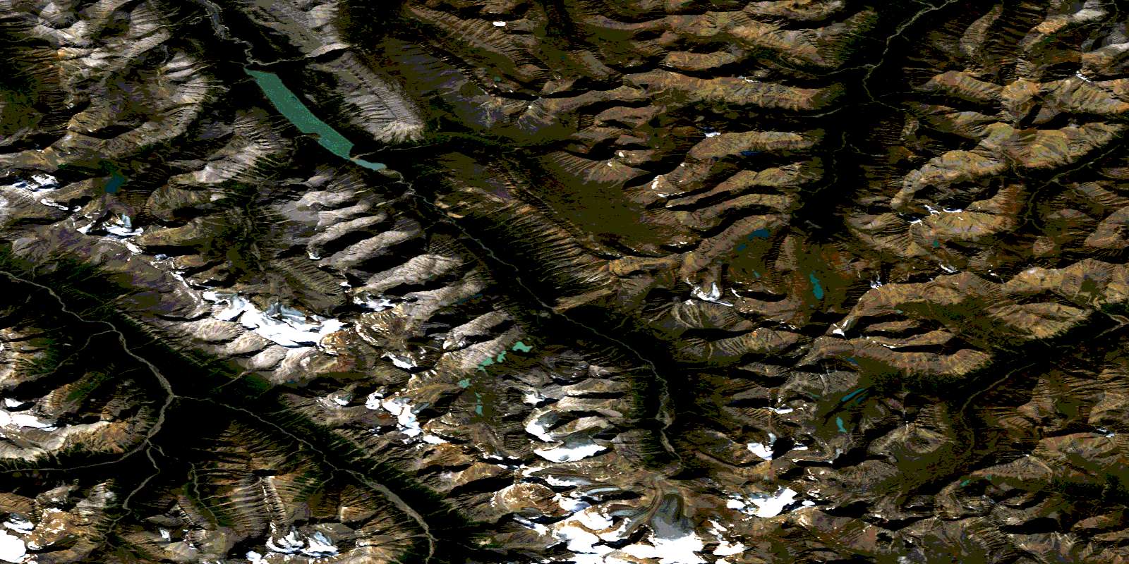
Wokkpash Lake Satellite Imagery
To view this satellite map, mouse over the air photo on the right.
You can also download this satellite image map for free:
094K07 Wokkpash Lake high-resolution satellite image map.
Maps for the Wokkpash Lake aerial map sheet 094K07 at 1:50,000 scale are also available in these versions:
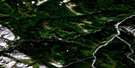
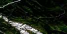
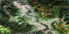
Wokkpash Lake Surrounding Area Aerial Photo Maps
 |
 |
 |
 |
 |
 |
 |
 |
 |
 |
 |
 |
 |
 |
 |
 |
© Department of Natural Resources Canada. All rights reserved.
Wokkpash Lake Gazetteer
The following places can be found on satellite image map 094K07 Wokkpash Lake:
Wokkpash Lake Satellite Image: Glaciers
Fusilier GlacierWokkpash Glacier
Wokkpash Lake Satellite Image: Lakes
Blizzard LakesLast Call Lake
St. Sepulchre Lake
Wokkpash Lake
Wokkpash Lake Satellite Image: Mountains
Angel PeakAngle Peak
Battle of Britain Range
Beauchamp Peak
Ben Isla
Blashford Peak
Byward Peak
Cadet Mountain
Chischa Peak
Constable Peak
Develin Peak
Devereux Peak
Expedition Peak
Exploration Peak
Fusilier Peak
Hermitage Peak
Hunter Mountain
Hunter Ridge
Icecap Peak
Kiwi Mountain
Lord Mayor Peak
Martin Peak
Mercers Peak
Merchant Taylors Peaks
Montagnes Rocheuses
Mount Mary Henry
Mount Peck
Mount St. Magnus
Mount St. Sepulchre
Mount Stalin
Mount Wadman
Muskwa Ranges
North Bastion Mountain
Raleigh Ridge
Red Ridge
Red Ridge Peak
Rocky Mountains
Saddleback Peak
Sandhurst Peak
South Bastion Mountain
Spyglass Peak
Tetsa Peak
The White Tower
Tower Mountain
Tower of London Range
Whitestone Ridge
Yalta Peak
Wokkpash Lake Satellite Image: Major municipal/district area - major agglomerations
Fort Nelson-Liard Regional DistrictWokkpash Lake Satellite Image: Conservation areas
Stone Mountain ParkWokkpash Recreation Area
Wokkpash Lake Satellite Image: Rivers
Bathtub CreekBlenheim Creek
Chischa Creek
Chischa River
Forlorn Creek
Fusilier Creek
Henry Creek
Plug Creek
Racing River
Stepped Creek
Tetsa River
Wishstream Creek
Wokkpash Creek
Wokkpash Lake Satellite Image: Valleys
Forlorn GorgeWokkpash Gorge
© Department of Natural Resources Canada. All rights reserved.
094K Related Maps:
094K Tuchodi Lakes094K01E Mount Sylvia
094K01W Mount Sylvia
094K02 Sicily Mountain
094K03 Churchill Peak
094K04 No Title
094K05 No Title
094K06 Normandy Mountain
094K07 Wokkpash Lake
094K08E Chlotapecta Creek
094K08W Chlotapecta Creek
094K09 North Tetsa River
094K10 Mount St George
094K11 Yedhe Mountain
094K12 Yedhe Creek
094K13 Muncho Lake
094K14 Toad Hot Springs
094K15 Stone Mountain
094K16 Mcclennan Creek
