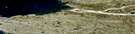
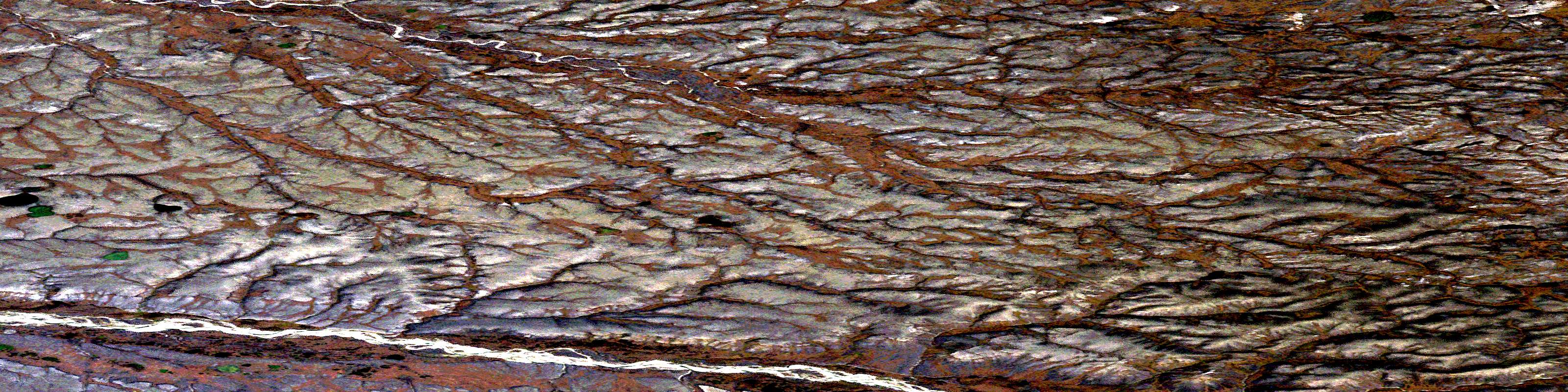
Imnaugaluit Hills Satellite Image Map
Download Free Aerial Photo 098B01 at 1:50,000 scale
Imnaugaluit Hills Satellite Imagery
To view this satellite map, mouse over the air photo on the right.
You can also download this satellite image map for free:
098B01 Imnaugaluit Hills high-resolution satellite image map.
Maps for the Imnaugaluit Hills aerial map sheet 098B01 at 1:50,000 scale are also available in these versions:
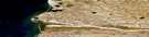
Imnaugaluit Hills Surrounding Area Aerial Photo Maps
 |
|||
 |
 |
||
 |
 |
||
 |
 |
© Department of Natural Resources Canada. All rights reserved.
Imnaugaluit Hills Gazetteer
The following places can be found on satellite image map 098B01 Imnaugaluit Hills:
Imnaugaluit Hills Satellite Image: Islands
Banks IslandImnaugaluit Hills Satellite Image: Mountains
Bertram KnollImnaugaluit Hills
Imnaugaluit Hills Satellite Image: Conservation areas
Banks Island No. 1 Bird SanctuaryRefuge d'oiseaux de l'Île-Banks-Numéro-Un
Refuge d'oiseaux No. 1 de l'île Banks
Imnaugaluit Hills Satellite Image: Rivers
Apian CreekEaster Creek
Kellett River
Lennie River
Imnaugaluit Hills Satellite Image: Territory
Northwest TerritoriesTerritoires du Nord-Ouest
© Department of Natural Resources Canada. All rights reserved.
