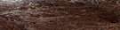
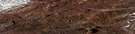
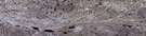
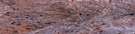
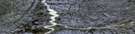
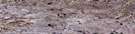
Shoran Lake Satellite Image Map
Download Free Aerial Photo 098D09 at 1:50,000 scale
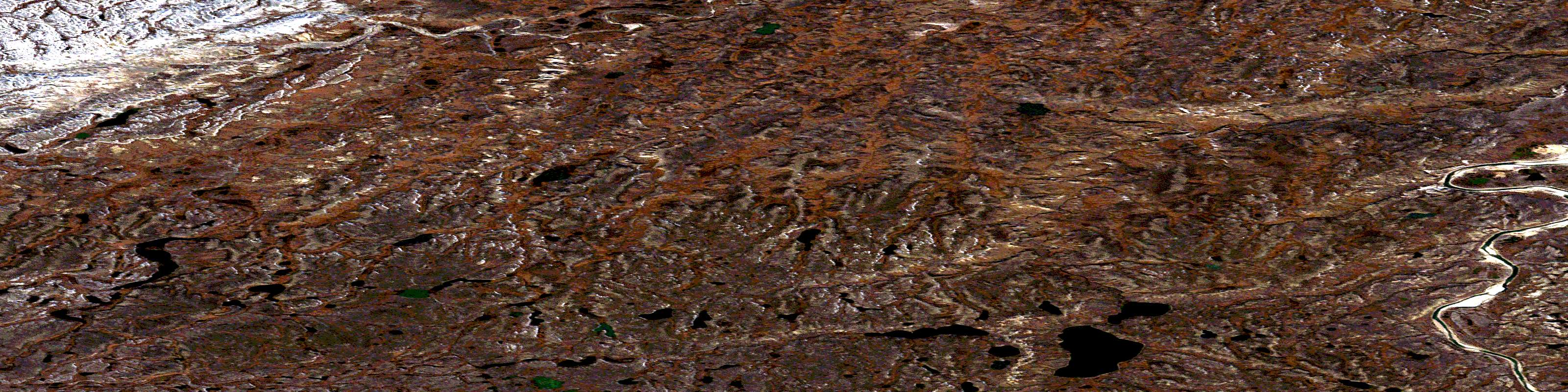
Shoran Lake Satellite Imagery
To view this satellite map, mouse over the air photo on the right.
You can also download this satellite image map for free:
098D09 Shoran Lake high-resolution satellite image map.
Maps for the Shoran Lake aerial map sheet 098D09 at 1:50,000 scale are also available in these versions:
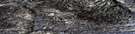
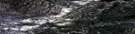
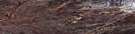
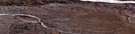
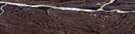
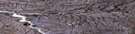
Shoran Lake Surrounding Area Aerial Photo Maps
 |
 |
 |
 |
 |
 |
 |
 |
 |
 |
 |
 |
 |
 |
 |
 |
© Department of Natural Resources Canada. All rights reserved.
Shoran Lake Gazetteer
The following places can be found on satellite image map 098D09 Shoran Lake:
Shoran Lake Satellite Image: Islands
Banks IslandShoran Lake Satellite Image: Lakes
Gettis LakeShoran Lake
Shoran Lake Satellite Image: Conservation areas
Aulavik National Park of CanadaParc national du Canada Aulavik
Refuge d'oiseaux de l'Île-Banks-Numéro-Deux
Shoran Lake Satellite Image: Rivers
Able CreekAble River
Baker Creek
Muskox River
Thomsen River
Shoran Lake Satellite Image: Territory
Northwest TerritoriesTerritoires du Nord-Ouest
© Department of Natural Resources Canada. All rights reserved.
