Christie Pass Satellite Image Map
Download Free Aerial Photo 105P04 at 1:50,000 scale
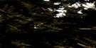
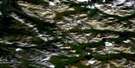
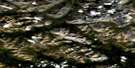
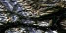
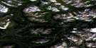
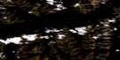
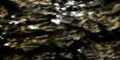
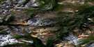
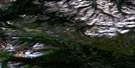
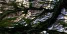
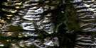
Christie Pass Satellite Imagery
To view this satellite map, mouse over the air photo on the right.
You can also download this satellite image map for free:
105P04 Christie Pass high-resolution satellite image map.
Maps for the Christie Pass aerial map sheet 105P04 at 1:50,000 scale are also available in these versions:
Christie Pass Surrounding Area Aerial Photo Maps
 |
 |
 |
 |
 |
 |
 |
 |
 |
 |
 |
 |
 |
 |
 |
 |
© Department of Natural Resources Canada. All rights reserved.
Christie Pass Gazetteer
The following places can be found on satellite image map 105P04 Christie Pass:
Christie Pass Satellite Image: Mountains
Logan MountainsLogan Mountains
Mount Christie
Selwyn Mountains
Selwyn Mountains
Christie Pass Satellite Image: Rivers
Keele RiverNatla River
Ross River
South Nahanni River
Tsichu River
Christie Pass Satellite Image: Territory
Northwest TerritoriesTerritoire du Yukon
Territoires du Nord-Ouest
Yukon Territory
Christie Pass Satellite Image: Valleys
Christie Pass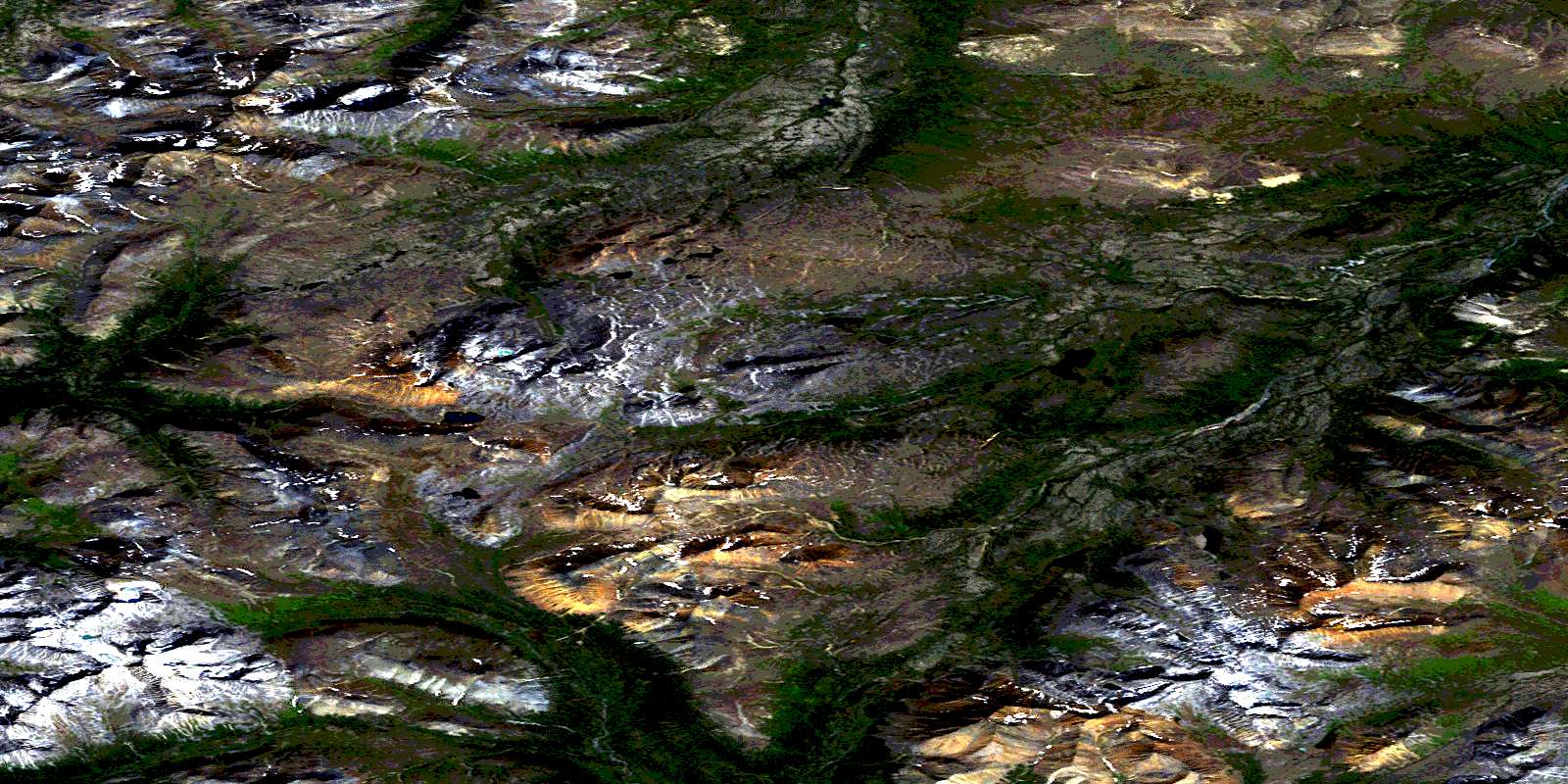
© Department of Natural Resources Canada. All rights reserved.
105P Related Maps:
105P Sekwi Mountain105P01 No Title
105P02 No Title
105P03 No Title
105P04 Christie Pass
105P05 No Title
105P06 No Title
105P07 Sekwi Canyon
105P08 No Title
105P09 Delthore Mountain
105P10 No Title
105P11 Caribou Pass
105P12 No Title
105P13 Twitya Hotspring
105P14 No Title
105P15 Godlin Lakes
105P16 No Title
