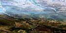
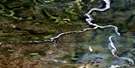
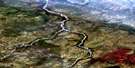
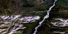
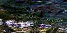
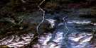
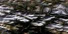
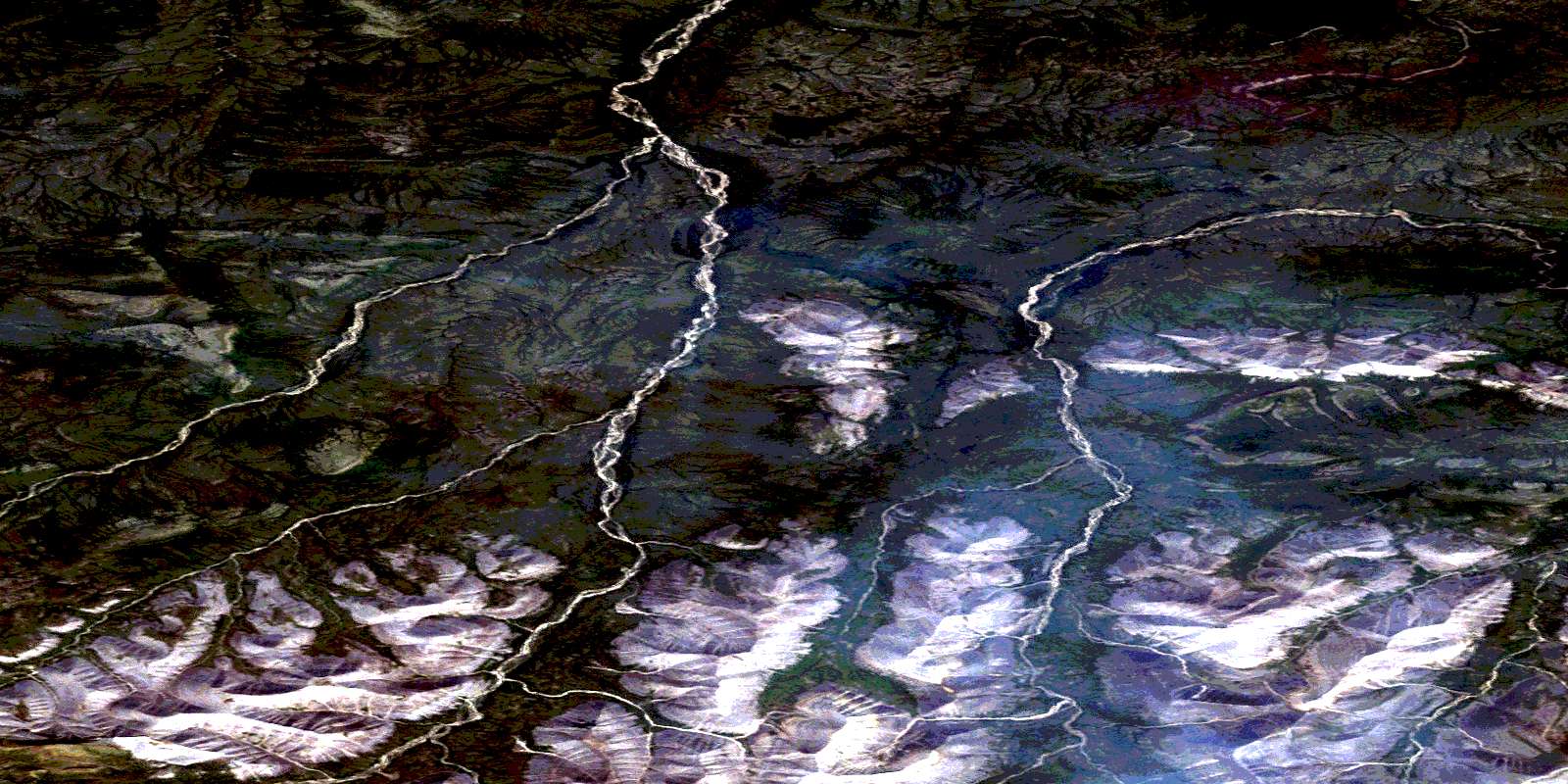
Ovis Ridge Satellite Image Map
Download Free Aerial Photo 106G08 at 1:50,000 scale
Ovis Ridge Satellite Imagery
To view this satellite map, mouse over the air photo on the right.
You can also download this satellite image map for free:
106G08 Ovis Ridge high-resolution satellite image map.
Maps for the Ovis Ridge aerial map sheet 106G08 at 1:50,000 scale are also available in these versions:
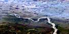
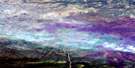
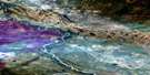
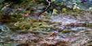
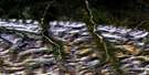
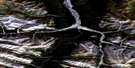
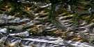
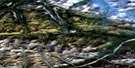
Ovis Ridge Surrounding Area Aerial Photo Maps
 |
 |
 |
 |
 |
 |
 |
|
 |
 |
 |
 |
 |
 |
 |
 |
© Department of Natural Resources Canada. All rights reserved.
Ovis Ridge Gazetteer
The following places can be found on satellite image map 106G08 Ovis Ridge:
Ovis Ridge Satellite Image: Lakes
Yadek LakeOvis Ridge Satellite Image: Mountains
Canyon RangesMackenzie Mountains
Ovis Ridge
Southbound Ridge
Ovis Ridge Satellite Image: Rivers
Deadend CreekHume River
Ramparts River
Tawu Creek
Tee Creek
Ovis Ridge Satellite Image: Territory
Northwest TerritoriesTerritoires du Nord-Ouest
© Department of Natural Resources Canada. All rights reserved.
