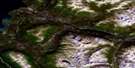
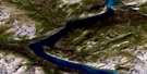
Canyon Satellite Image Map
Download Free Aerial Photo 115A14 at 1:50,000 scale
Canyon Satellite Imagery
To view this satellite map, mouse over the air photo on the right.
You can also download this satellite image map for free:
115A14 Canyon high-resolution satellite image map.
Maps for the Canyon aerial map sheet 115A14 at 1:50,000 scale are also available in these versions:
Canyon Surrounding Area Aerial Photo Maps
 |
 |
 |
 |
 |
 |
 |
 |
 |
 |
 |
 |
 |
 |
 |
 |
© Department of Natural Resources Canada. All rights reserved.
Canyon Gazetteer
The following places can be found on satellite image map 115A14 Canyon:
Canyon Satellite Image: Lakes
Dullmitt LakePine Lake
Shurr Lake
Shurr Lakes
Canyon Satellite Image: Mountains
Dezadeash RangeHard Time Mountain
Paint Mountain
Ruby Range
Canyon Satellite Image: Plains
Kluane PlateauYukon Plateau
Canyon Satellite Image: Rivers
Aishihik RiverBig Mountain Creek
Black Grayling Creek
Dezadeash River
Emery Creek
Garnet Creek
Kathleen River
Marl Creek
Marshall Creek
Nayton Creek
No Sheep Creek
Pine Creek
Seven Mile Creek
Wagga Creek
Canyon Satellite Image: Unincorporated areas
CanyonCanyon Satellite Image: Valleys
Shakwak TrenchShakwak Valley
Canyon Satellite Image: Villages
Haines Junction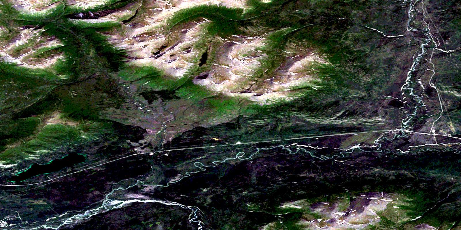
© Department of Natural Resources Canada. All rights reserved.
115A Related Maps:
115A Dezadeash Range115A01 Ark Mountain
115A02 Takhanne River
115A03 Silver Creek
115A04 Bates River
115A05 Cottonwood Lakes
115A06 Mush Lake
115A07 Kluhini River
115A08 Sandpiper Creek
115A09 Jo-Jo Lake
115A10 Mount Bratnober
115A11 Kathleen Lakes
115A12 Auriol Range
115A13 Kloo Lake
115A14 Canyon
115A15 Cracker Creek
115A16 Champagne
