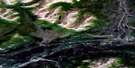
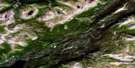
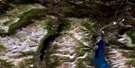
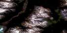
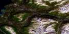
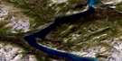
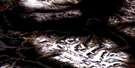
Mush Lake Satellite Image Map
Download Free Aerial Photo 115A06 at 1:50,000 scale
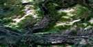
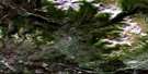
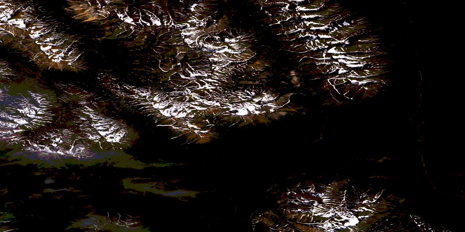
Mush Lake Satellite Imagery
To view this satellite map, mouse over the air photo on the right.
You can also download this satellite image map for free:
115A06 Mush Lake high-resolution satellite image map.
Maps for the Mush Lake aerial map sheet 115A06 at 1:50,000 scale are also available in these versions:
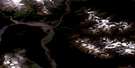
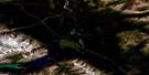
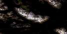
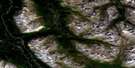
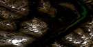
Mush Lake Surrounding Area Aerial Photo Maps
 |
 |
 |
 |
 |
 |
 |
 |
 |
 |
 |
 |
 |
 |
 |
 |
© Department of Natural Resources Canada. All rights reserved.
Mush Lake Gazetteer
The following places can be found on satellite image map 115A06 Mush Lake:
Mush Lake Satellite Image: Lakes
Dezadeash LakeKlukshu Lake
Lake Ray
Mush Lake
Secret Lakes
St. Elias Lake
Mush Lake Satellite Image: Mountains
Dalton RangeKluane Ranges
Mount Barker
St. Elias Mountains
Mush Lake Satellite Image: Conservation areas
Kluane National Park and Reserve of CanadaKluane Wildlife Sanctuary
Kluane/Wrangell-St. Elias/Glacier Bay/Tatshenshini-Alsek World Heritage Site
Parc national et réserve de parc national du Canada Kluane
Site du patrimoine mondial Kluane/Wrangell-St. Elias/Glacier Bay/Tatshenshini-Alsek
Mush Lake Satellite Image: Plains
Yukon PlateauMush Lake Satellite Image: Rivers
Alder CreekBeloud Creek
Dalton Creek
Dalziel Creek
Esker Creek
Flying Squirrel Creek
Fraser Creek
Goat Creek
Gribbles Gulch
Klukshu River
Mush Creek
Shorty Creek
Sickle Creek
Victoria Creek
Virgin Creek
Mush Lake Satellite Image: Unincorporated areas
Beloud PostDezadeash
Klukshu
Mush Lake Satellite Image: Valleys
Shakwak TrenchShakwak Valley
© Department of Natural Resources Canada. All rights reserved.
115A Related Maps:
115A Dezadeash Range115A01 Ark Mountain
115A02 Takhanne River
115A03 Silver Creek
115A04 Bates River
115A05 Cottonwood Lakes
115A06 Mush Lake
115A07 Kluhini River
115A08 Sandpiper Creek
115A09 Jo-Jo Lake
115A10 Mount Bratnober
115A11 Kathleen Lakes
115A12 Auriol Range
115A13 Kloo Lake
115A14 Canyon
115A15 Cracker Creek
115A16 Champagne
