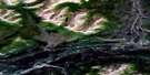
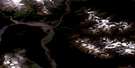
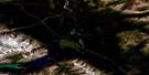
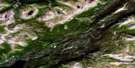
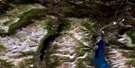
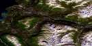
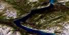
Cottonwood Lakes Satellite Image Map
Download Free Aerial Photo 115A05 at 1:50,000 scale
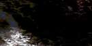
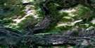
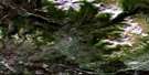
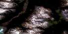
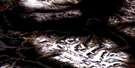
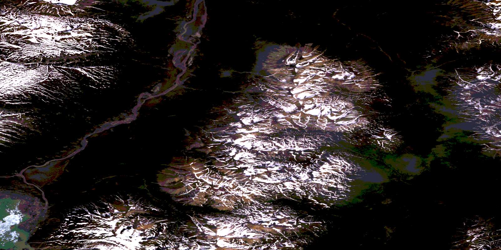
Cottonwood Lakes Satellite Imagery
To view this satellite map, mouse over the air photo on the right.
You can also download this satellite image map for free:
115A05 Cottonwood Lakes high-resolution satellite image map.
Maps for the Cottonwood Lakes aerial map sheet 115A05 at 1:50,000 scale are also available in these versions:
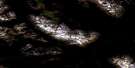
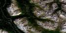
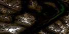
Cottonwood Lakes Surrounding Area Aerial Photo Maps
 |
 |
 |
 |
 |
 |
 |
 |
 |
 |
 |
 |
 |
 |
 |
 |
© Department of Natural Resources Canada. All rights reserved.
Cottonwood Lakes Gazetteer
The following places can be found on satellite image map 115A05 Cottonwood Lakes:
Cottonwood Lakes Satellite Image: Glaciers
Lowell GlacierSouth Lowell Glacier
Cottonwood Lakes Satellite Image: Lakes
Bates LakeCampsite Lake
Cottonwood Lakes
Johobo Lake
Mush Lake
Sockeye Lake
Cottonwood Lakes Satellite Image: Mountains
Dalton RangeGoatherd Mountain
Icefield Ranges
Kluane Ranges
St. Elias Mountains
Cottonwood Lakes Satellite Image: Conservation areas
Kluane National Park and Reserve of CanadaKluane/Wrangell-St. Elias/Glacier Bay/Tatshenshini-Alsek World Heritage Site
Parc national et réserve de parc national du Canada Kluane
Site du patrimoine mondial Kluane/Wrangell-St. Elias/Glacier Bay/Tatshenshini-Alsek
Cottonwood Lakes Satellite Image: Rivers
Alsek RiverBeloud Creek
Cottonwood Creek
Marble Creek
Shaft Creek
© Department of Natural Resources Canada. All rights reserved.
115A Related Maps:
115A Dezadeash Range115A01 Ark Mountain
115A02 Takhanne River
115A03 Silver Creek
115A04 Bates River
115A05 Cottonwood Lakes
115A06 Mush Lake
115A07 Kluhini River
115A08 Sandpiper Creek
115A09 Jo-Jo Lake
115A10 Mount Bratnober
115A11 Kathleen Lakes
115A12 Auriol Range
115A13 Kloo Lake
115A14 Canyon
115A15 Cracker Creek
115A16 Champagne
