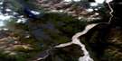
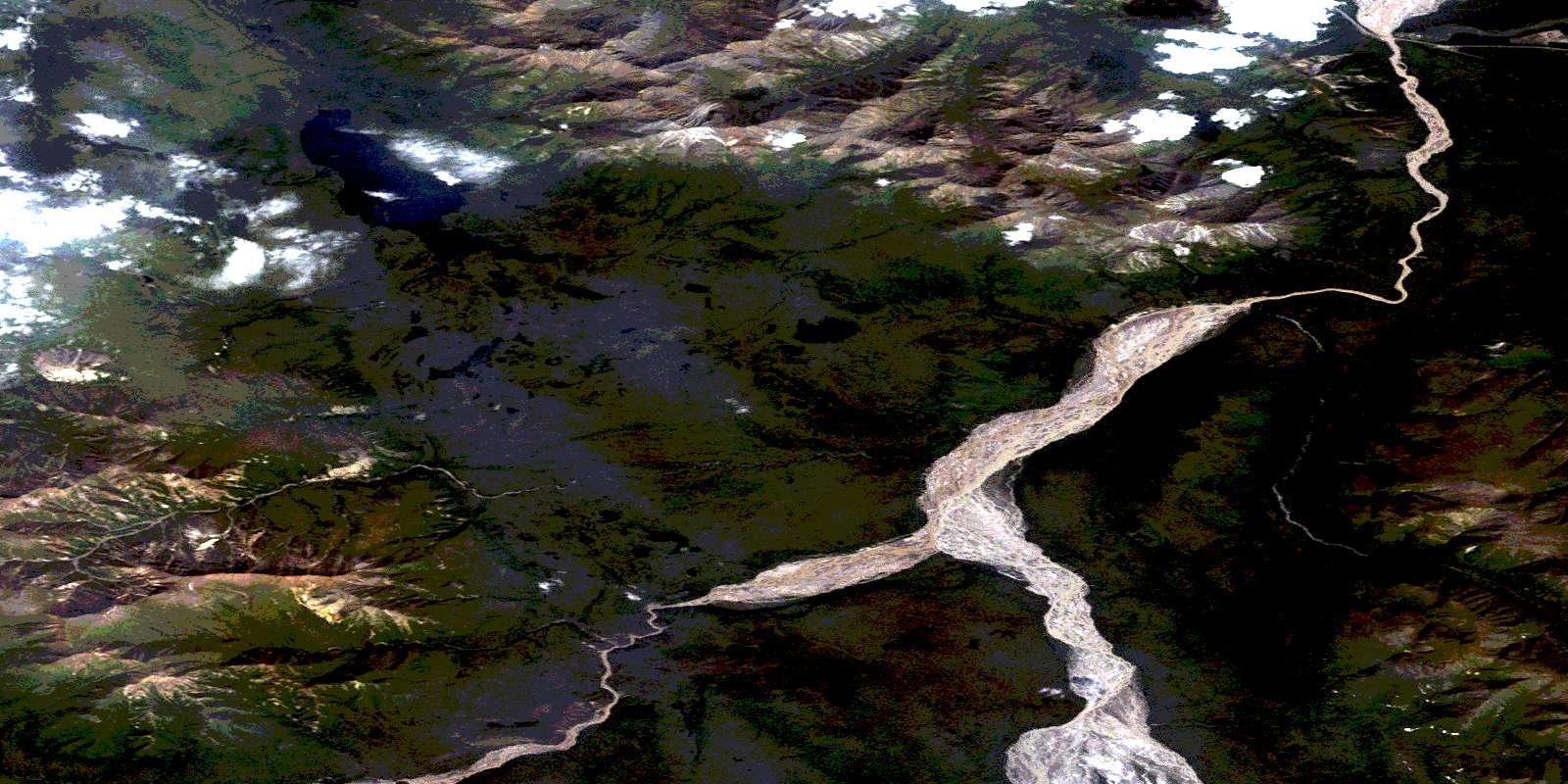
Canyon Mountain Satellite Image Map
Download Free Aerial Photo 115F15 at 1:50,000 scale
Canyon Mountain Satellite Imagery
To view this satellite map, mouse over the air photo on the right.
You can also download this satellite image map for free:
115F15 Canyon Mountain high-resolution satellite image map.
Maps for the Canyon Mountain aerial map sheet 115F15 at 1:50,000 scale are also available in these versions:
Canyon Mountain Surrounding Area Aerial Photo Maps
 |
 |
||
 |
 |
||
 |
 |
||
 |
 |
© Department of Natural Resources Canada. All rights reserved.
Canyon Mountain Gazetteer
The following places can be found on satellite image map 115F15 Canyon Mountain:
Canyon Mountain Satellite Image: Lakes
Tchawsahmon LakeCanyon Mountain Satellite Image: Mountains
Canyon MountainCentre Mountain
Flat Top Mountain
Hump Mountain
Kluane Ranges
Miles Ridge
Mount Taylor
Nutzotin Mountains
Nutzotin Range
Rabbit Mountain
Slaggard Ridge
St. Elias Mountains
Tchawsahmon Ridge
Canyon Mountain Satellite Image: Conservation areas
Kluane Wildlife SanctuaryCanyon Mountain Satellite Image: Plains
Yukon PlateauCanyon Mountain Satellite Image: Rivers
Beaver CreekBoulder Creek
Cache Creek
Frying Pan Creek
Generc River
Hazel Creek
Klutlan River
Lignite Creek
McLellan Creek
McLennan Creek
Miles Creek
Moose Creek
Pan Creek
Rabbit Creek
Sanpete Creek
Tchawsahmon Creek
White River
Canyon Mountain Satellite Image: Unincorporated areas
Canyon CityCanyon Mountain Satellite Image: Valleys
Lower CanyonShakwak Trench
Shakwak Valley
Upper Canyon
© Department of Natural Resources Canada. All rights reserved.
