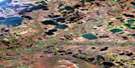
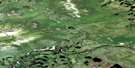
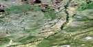
Mount Schaeffer Satellite Image Map
Download Free Aerial Photo 116O13 at 1:50,000 scale
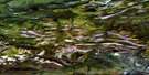
Mount Schaeffer Satellite Imagery
To view this satellite map, mouse over the air photo on the right.
You can also download this satellite image map for free:
116O13 Mount Schaeffer high-resolution satellite image map.
Maps for the Mount Schaeffer aerial map sheet 116O13 at 1:50,000 scale are also available in these versions:
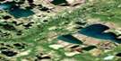
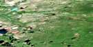
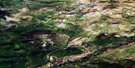
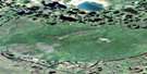
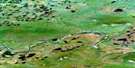
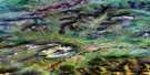
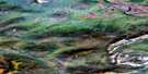
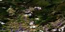
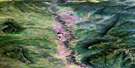
Mount Schaeffer Surrounding Area Aerial Photo Maps
 |
 |
 |
 |
 |
 |
 |
 |
 |
 |
 |
 |
 |
 |
 |
 |
© Department of Natural Resources Canada. All rights reserved.
Mount Schaeffer Gazetteer
The following places can be found on satellite image map 116O13 Mount Schaeffer:
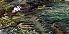
Mount Schaeffer Satellite Image: Lakes
Chalv{21} VànJohn Charlie Vavàn
Nèhtrùh Vavàn
Vakak Te'nìthìn{21}
Van Tanh
Zelma Vavàn
Mount Schaeffer Satellite Image: Mountains
Mount SchaefferMount Schaeffer Satellite Image: Plains
Old Crow PlainMount Schaeffer Satellite Image: Rivers
Johnson CreekOld Crow River
Schaefer Creek
Schaeffer Creek
Mount Schaeffer Satellite Image: Low vegetation
Old Crow Flats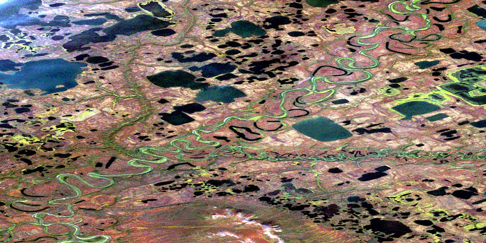
© Department of Natural Resources Canada. All rights reserved.
116O Related Maps:
116O Old Crow116O01 Voreekwa Lakes
116O02 Sharp Mountain
116O03 Veeshridlah Mountain
116O04 Ahvee Mountain
116O05 Lone Mountain
116O06 Lord Creek
116O07 Choho Hill
116O08 Cranberry Hill
116O09 Rat Indian Creek
116O10 Cadzow Lake
116O11 Nothla Hill
116O12 Old Crow
116O13 Mount Schaeffer
116O14 Chungklee Lake
116O15 Chungkuch Lake
116O16 Driftwood Hill
