Bay Bulls Topo Map Online
Download Free Topo Map Sheet 001N07 at 1:50,000 scale
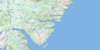
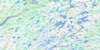
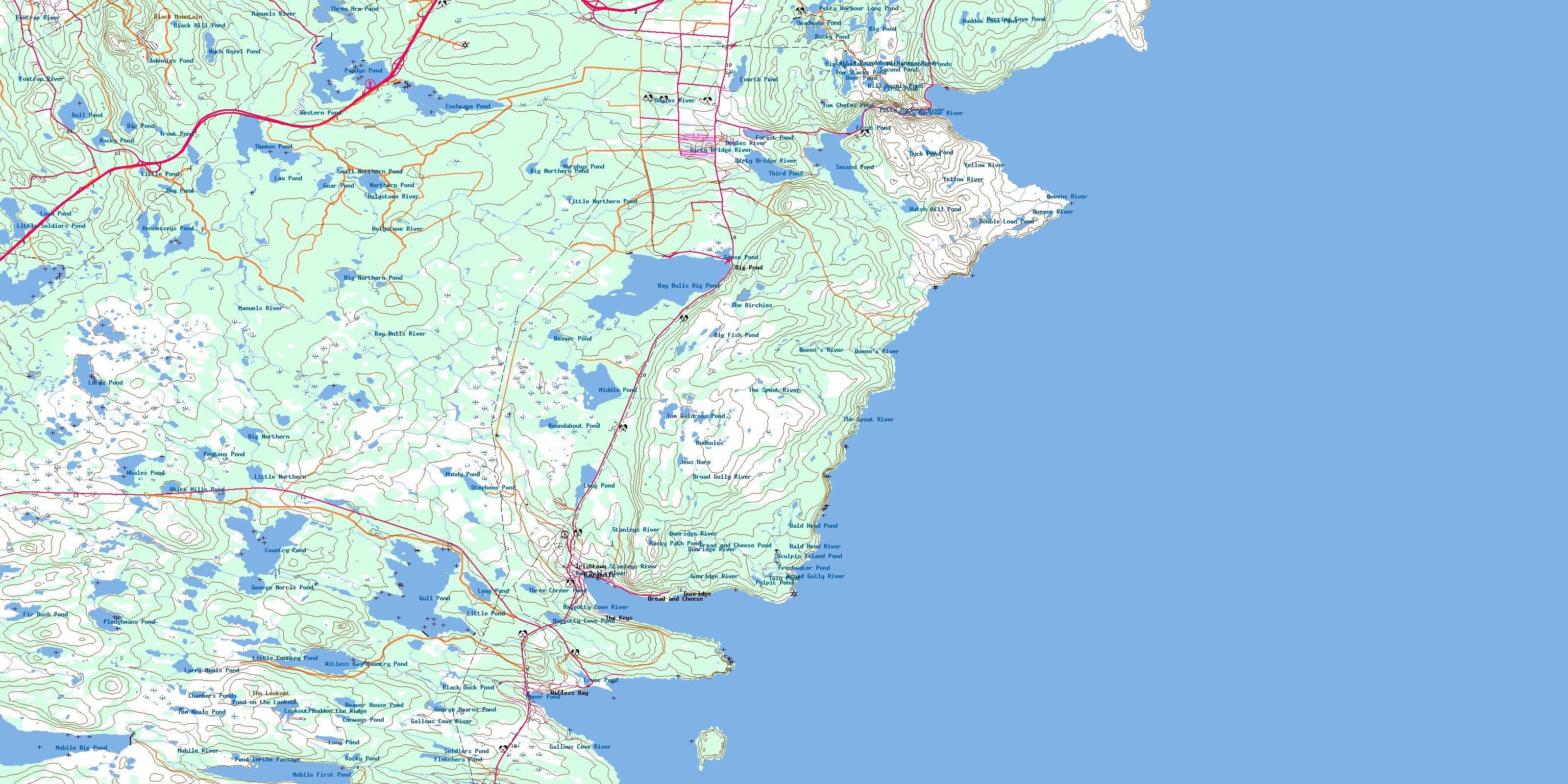
001N07 Bay Bulls Topo Map
To view this map, mouse over the map preview on the right.
You can also download this topo map for free:
001N07 Bay Bulls high-resolution topo map image.
Maps for the Bay Bulls topo map sheet 001N07 at 1:50,000 scale are also available in these versions:
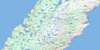
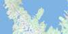
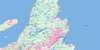
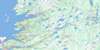
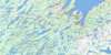
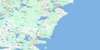
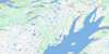
Bay Bulls Surrounding Area Topo Maps
 |
 |
 |
|
 |
 |
 |
|
 |
 |
 |
|
 |
 |
 |
© Department of Natural Resources Canada. All rights reserved.
Bay Bulls Gazetteer
The following places can be found on topographic map sheet 001N07 Bay Bulls:
Bay Bulls Topo Map: Bays
Allens CoveAngel Cove
Back of Cape Boone Cove
Bay Bulls
Bear Cove
Big Cove
Bread and Cheese Cove
Broad Cove
Bulgers Cove
Bull Cove
Cape Boone Cove
Caplin Cove
Carpenters Cove
Chaver
Chimney Cove
Connors Gulch
Council Cove
Dollar Cove
Drop Cove
Dungeon Cove
Empty Basket Cove
Freshwater
Freshwater Cove
Front Door
Gallows Cove
Grass Cove
Gunners Hole
Herring Cove
Hole in the Head
Horses Back
Island Cove
Island Cove
Kellis Cove
Landing Place
Long Harry Cove
Lower Cove
Mad Cove
Madam Cove
Maddox Cove
Maggotty Cove
Mahers Cove
Monahans Gulch
Monkey Cove
Motion Bay
Mutton Cove
Otter Cove
Peters Cove
Petty Harbour
Pounce Cove
Pulpit Cove
Ragged Cove
Red Cove
Seal Cove
Seven Island Cove
Shoal Bay
Southern Cove
The Bight
The Pound
The Spout
Turn of Bald Head
Upper Red Cove
Useless Bay
White Horse Cove
Whiteways Cove
Williams Cove
Williams Cove
Witless Bay
Bay Bulls Topo Map: Beaches
Camel BeachGravelly Bank
Long Beach
Ragged Beach
Twelve O'Clock Beach
Bay Bulls Topo Map: Capes
Avalon PeninsulaBack of the Point
Bald Head
Bear Cove Head
Bear Cove Point
Big Black Head
Big Cove Point
Boone Point
Breach Head
Bread and Cheese Point
Bull Head
Camel Head
Cape Boone
Chapel Head
Cheese Cove Point
Columbine Point
Dennis Point
Flat Point
Gallows Cove Point
Heart Point
Hearts Point
Henleys Head
Inside Point of Cape Boone Cove
Inside Point of Island Cove
Jimmy Dinns Point
Kate Point
Kellis Point
Key Point
Lady Point
Little Bald Head
Long Harry
Long Point
Long Point
Long Point
Long Point of North Head
Mays Point
Merrymeeting Point
Miner Point
Miners Point
Motion Head
North Head
North Head
Nulma Head
Outside Point of Island Cove
Pepperelli Point
Pierced Point
Quail Point
Ragged Point
Sculpin Island
Seal Cove Point
Sharks Point
Sleepy Point
Small Black Head
South Head
The Kettle
The Minister
Tinkers Point
Bay Bulls Topo Map: Channels
Long GulchMain River Gut
Old Woman Gulch
Raymonds Gulch
The Chaver
The Thoroughfare
Whittens Gulch
Bay Bulls Topo Map: City
Mount PearlSt. John's
Bay Bulls Topo Map: Cliffs
Horseshoe CliffIron Door
The Cliff
The Flats
Bay Bulls Topo Map: Islands
Gull IslandHarbour House
Spoon Island
Bay Bulls Topo Map: Lakes
Bald Head PondBathers Pond
Bay Bulls Big Pond
Beaver House Pond
Beaver Pond
Beer Pond
Big Fish Pond
Big Northern
Big Northern Pond
Big Northern Pond
Big Pond
Big Pond
Big Roundabout
Bill Hazels Pond
Birchy Pond
Black Duck Gully
Black Duck Pond
Black Hill Pond
Bread and Cheese Pond
Broad Gully
Chambers Ponds
Cochrane Pond
Conways Pond
Country Pond
Cow Pond
Crooked Gullies
Deadmans Pond
Deep Gullies
Dog Pond
Double Loon Pond
Duck Pond
Duck Pond
Fir Bush Pond
First Pond
First Pond
Fletchers Pond
Forest Pond
Fourth Pond
Freshwater Pond
Gear Gullies
Gear Pond
George Hearns Pond
George Norris Pond
Goose Pond
Grassy Gullies
Gull Pond
Gull Pond
Hennesseys Pond
Herring Cove Pond
Holystone Gullies
Horse Gullies
Jakes Gully
Jakes Pond
Jews Harp
Johnnies Pond
Larry Neals Pond
Little Country Pond
Little Gullies
Little Northern
Little Northern Pond
Little Pond
Little Pond
Little Roundabout
Little Soldiers Pond
Long Gully
Long Pond
Long Pond
Long Pond
Loo Pond
Lookout Pond
Loon Pond
Lords Pond
Lower Pond
Lower Pond Gullies
Maddox Cove Pond
Maddox Pond
Maggotty Cove Pond
Maggotty Pond
Martins Gully
Middle Pond
Miners Pond
Mobile Big Pond
Mobile First Pond
Mudholes
Mundy Pond
Murphys Pond
Northern Pond
Paddys Pond
Petty Harbour Long Pond
Petty Harbour Ponds
Peytons Pond
Ploughmans Pond
Pond in the Passage
Pond on the Lookout
Pond on the Ridge
Princes Pond
Pulpit Pond
Punch Mile Gullies
Rocky Path Pond
Rocky Pond
Rocky Pond
Rocky Pond
Roundabout Pond
Scotsmans Gully
Sculpin Island Pond
Second Pond
Second Pond
Small Northern Pond
Soldiers Pond
Soldiers Pond
Stephens Pond
The Birchies
The Gully
Third Pond
Thomas Pond
Three Arm Pond
Three Corner Pond
Tom Chafes Pond
Tom Neals Pond
Tom Stacks Pond
Tom Waldrons Pond
Trout Pond
Twin Pond
Twin Pond Gully
Upper Pond
Valley Gullies
Watch Hill Pond
Western Pond
Whales Pond
White Hills Pond
Witless Bay Country Pond
Wych Hazel Pond
Yankees Gully
Bay Bulls Topo Map: Mountains
Allens HillAmerican Man
Beaver Hat
Big Hill
Big Tolt
Black Head Hill
Black Mountain
Blood Hill
Booms Head
Burkes Head
Butter Pot
Captain Orlebars Cairn
Cemetery Hill
Conical Hill
Crown Hill
Dog Hills
Downward Hill
Flag Staff Hill
Forest Pond Hill
Green Hill
Green Hill
Gull Hill
Hare Hill
Hawke Hills
Heretic Hill
Jonclay Hill
Kearney's Hill
Long Run
Lower Cove Head
Maintop Hill
Pennys Hill
Pynn Hill
Red Rock
Saddle Hill
Saddle Hill
Sandy Hill
Skinners Hill
Stony Ridge
The Clappers
The Klondyke
The Lookout
The Saddle
Thorburn Hills
Three Peak Hill
Tinker Hill
Turtle Hill
Twelve O'Clock
Twelve O'Clock Hill
Vizard Hill
Watch Hill
White Hill
White Hill
White Hills
Williams Hill
Williams Hill
Bay Bulls Topo Map: Major municipal/district area - major agglomerations
St. John's Metropolitan AreaBay Bulls Topo Map: Conservation areas
Cochrane Pond Provincial ParkSoldiers Pond Fishery Access Road Provincial Park
Soldiers Pond Provincial Park
Witless Bay Ecological Reserve
Witless Bay Seabird Ecological Reserve
Bay Bulls Topo Map: Rivers
Bald Head RiverBay Bulls River
Beaver Brook
Broad Gully River
Cochrane Pond Brook
Conway Brook
Cross Brook
Cuddley River
Dirty Bridge River
Doyles River
Foxtrap River
Gallows Cove River
Gunridge River
Holystone River
Maggotty Cove River
Manuels River
Mobile River
Nut Brook
O'Briens Brook
Perrys Brook
Petty Harbour River
Peytons Brook
Pierres Brook
Queens River
Queen's River
Raymond Brook
South Brook
Stanleys River
Steadywater Brook
Stone Ducky Brook
The Spout River
Witless Bay Brook
Yellow River
Bay Bulls Topo Map: Shoals
Baboul RocksBear Cove Rocks
Black Rock
Bread and Cheese Rock
Drop Cove Rock
Frenchmans Rock
Freshwater Ledge
Freshwater Rock
Gallows Cove Rock
Huttons Rock
Kate Rock
Kitten Rock
Long Harry Rock
Mad Rock
Motion Ledges
Motion Rocks
North Ledge
Petty Harbour Ledges
Shag Rocks
Sinker Rock
The Klinkers
The Off Ground
The Pulpit
The Stump
White Horse Bank
White Rock
White Rock
Bay Bulls Topo Map: Towns
Bay BullsConception Bay South
Petty Harbour-Maddox Cove
Witless Bay
Bay Bulls Topo Map: Unincorporated areas
Big PondBread and Cheese
Doyles
Goulds
Gunridge
Irishtown
Maddox Cove
Petty Harbour
Stoppers Side
Stopperside
The Houser
The Keys
Williams
Bay Bulls Topo Map: Valleys
The GorgeBay Bulls Topo Map: Low vegetation
Balls MarshBig Yellow Marsh
Dawes Big Marsh
Dykes Marsh
Feather Marsh
Frog Marsh
Furlongs Garden
Green Meadows
Hummocky Marsh
Paddys Pond Marsh
Ploughmans Marsh
Roaches Marsh
Thousand Acre Marsh
© Department of Natural Resources Canada. All rights reserved.
