St Catherine's Topo Map Online
Download Free Topo Map Sheet 001N03 at 1:50,000 scale
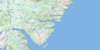
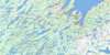
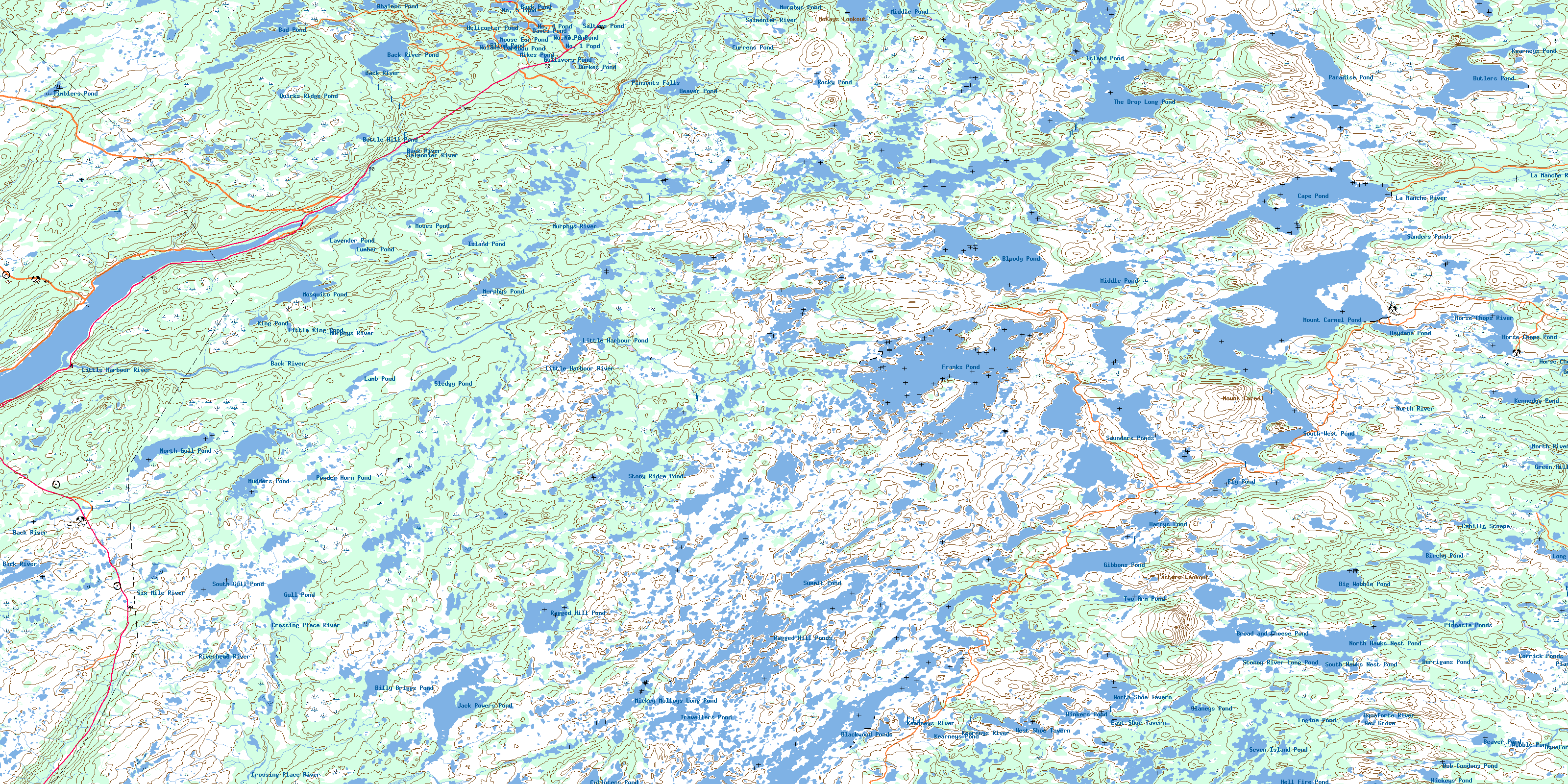
001N03 St Catherine's Topo Map
To view this map, mouse over the map preview on the right.
You can also download this topo map for free:
001N03 St Catherine's high-resolution topo map image.
Maps for the St Catherine's topo map sheet 001N03 at 1:50,000 scale are also available in these versions:
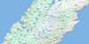
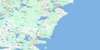
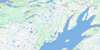
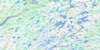
St Catherine's Surrounding Area Topo Maps
 |
 |
 |
|
 |
 |
 |
|
 |
 |
 |
|
 |
 |
 |
© Department of Natural Resources Canada. All rights reserved.
St Catherine's Gazetteer
The following places can be found on topographic map sheet 001N03 St Catherine's:
St Catherine's Topo Map: Bays
Little HarbourSalmonier Arm
St Catherine's Topo Map: Beaches
Dunphys BeachSt Catherine's Topo Map: Capes
Avalon PeninsulaBig Cape
Bluff Head
Cox Point
Cross Point
Kerwan Point
St Catherine's Topo Map: Falls
Pinsents FallsSt Catherine's Topo Map: Lakes
Back PondBack River Pond
Bad Pond
Bad Pond Steadies
Beaver Pond
Beaver Pond
Berrigans Pond
Big Pond
Big Wobble Pond
Billy Briggs Pond
Birchy Pond
Blackwood Ponds
Blind Pond
Bloody Pond
Bob Condons Pond
Bottle Hill Pond
Bread and Cheese Pond
Burkes Pond
Butlers Pond
Cahills Scrape
Cape Pond
Caribou Pond
Carters Gully
Commissioners Gullies
Corrick Ponds
Cullotens Pond
Currens Pond
Dawes Pond
Dunphys Pond
East Shoe Tavern
Engine Pond
Fly Pond
Fowlers Gullies
Franks Pond
Gibbons Pond
Green Hills Pond
Gull Pond
Gull Pond
Gull Pond
Gullivers Pond
Hardings Gullies
Hares Nest Gully
Harrys Pond
Haydens Gully
Haydens Pond
Hearns Gullies
Helicopter Pond
Hell Fire Pond
Hickeys Pond
Horse Chops Pond
Island Pond
Island Pond
Jack Powers Pond
Kearneys Pond
Kearneys Pond
Kennedys Pond
King Pond
Lamb Pond
Lavender Pond
Lawlors Gully
Little Harbour Pond
Little King Pond
Long Pond
Lumber Pond
Maries Gullies
Marsh Pond
Mickey Molloys Long Pond
Middle Pond
Middle Pond
Mikes Pond
Mikes Pond
Molloys Gullies
Moose Ear Pond
Moses Pond
Mosquito Pond
Mount Carmel Pond
Mudders Pond
Mummering
Murphys Pond
Murphys Pond
Murphys Pond
Murphys Waters
New Grove
No. 1 Pond
No. 2 Pond
No. 3 Pond
No. 4 Pond
No. 5 Pond
Nolans Pond
North Gull Pond
North Hawks Nest Pond
North Shoe Tavern
Paradise Pond
Pinnacle Ponds
Plantation Ponds
Powder Horn Pond
Prisoners Pond
Quirks Ridge Pond
Ragged Hill Pond
Ragged Hill Ponds
Rainbow
Rocky Pond
Salmon Waters
Salters Pond
Sanders Gullies
Sanders Ponds
Saunders Pond
Saunders Ponds
Seven Island Pond
Slaneys Pond
Sledgy Pond
South Gull Pond
South Hawks Nest Pond
South West Pond
Spruce Gully
Stoney River Long Pond
Stony Ridge Pond
Summit Pond
The Drop Long Pond
Three Rivers
Three Rivers Pond
Tilleys Gullies
Timblers Pond
Travellers Pond
Two Arm Pond
Wades Gully
Warrens Waters
West Shoe Tavern
Whalens Pond
Winkers Pond
Wobble Pond
St Catherine's Topo Map: Mountains
Bottle HillBread and Cheese Hill
Bucket Hill
Chisel Hill
Dead Fox Ridge
Drop Ridge
Eastern Lookout
Gibbons Hill
Glazy Rocks
Green Hills
Hawke Drop
High Rock
Little Harbour Hill
Little Harbour Hill
McKays Lookout
Mike Nolans Ridge
Molloys Ridge
Mount Carmel
Mount Misery
Mummerine
Peter Swains Ridge
Quirks Ridge
Ragged Hill
Stony Ridge
The Drop
The Pinnacle
The Tongue of Long Pond
St Catherine's Topo Map: Conservation areas
Avalon Wilderness ReserveSalmonier Nature Park
St Catherine's Topo Map: Rivers
Aquaforte RiverBack River
Back River
Black River
Cape Broyle River
Crossing Place River
Drooks River
Gulch Brook
Hay Ponds River
Horse Chops River
Kearneys River
La Manche River
Little Harbour River
Mitchells Brook
Mosquito Brook
Murphys River
Mussel Pond River
North River
Rattling Brook
Riverhead River
Salmonier River
Six Mile River
Southern River
St Catherine's Topo Map: Towns
Mount Carmel-Mitchells Brook-St. CatherinesMount Carmel-Mitchells Brook-St. Catherine's
St. Joseph's
St Catherine's Topo Map: Unincorporated areas
Forest FieldForest Field-New Bridge
Mount Carmel
New Bridge
St. Catherine's
St Catherine's Topo Map: Low vegetation
Darbys MarshHarricott Marsh
Mummerine Marshes
© Department of Natural Resources Canada. All rights reserved.
