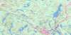
Owls Head Topo Map Online
Download Free Topo Map Sheet 011D10 at 1:50,000 scale
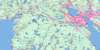
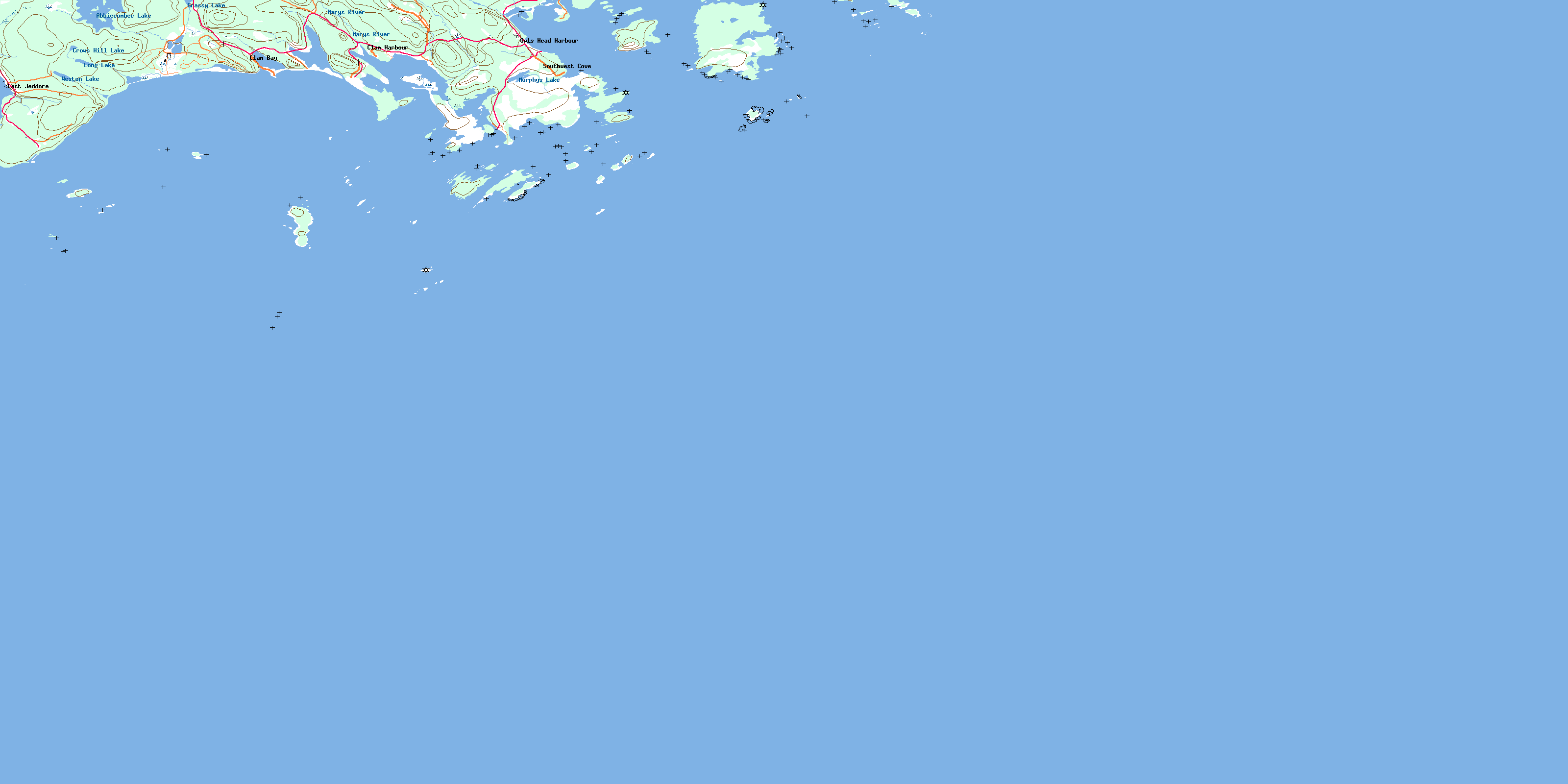
011D10 Owls Head Topo Map
To view this map, mouse over the map preview on the right.
You can also download this topo map for free:
011D10 Owls Head high-resolution topo map image.
Maps for the Owls Head topo map sheet 011D10 at 1:50,000 scale are also available in these versions:
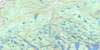
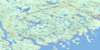
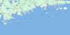
Owls Head Surrounding Area Topo Maps
 |
 |
 |
 |
 |
 |
 |
|
 |
|||
© Department of Natural Resources Canada. All rights reserved.
Owls Head Gazetteer
The following places can be found on topographic map sheet 011D10 Owls Head:
Owls Head Topo Map: Bays
Back CoveBig Sandy Cove
Black Duck Cove
Camp Cove
Clam Bay
Clam Harbour
Duck Cove
Five Island Cove
Frenchmans Cove
Harrys Cove
Jeddore Harbour
Little Harbour
Little Whale Cove
Lobster Cove
Long Cove
Long Creek
Owl Cove
Owls Head Bay
Owl's Head Bay
Palmer Cove
Palmers Cove
Porter Cove
Sandy Cove
Sandy Cove
Southwest Cove
Webbers Cove
Owls Head Topo Map: Beaches
Broad BreakerClam Harbour Beach
Lanes Beach
Power Shore
Stoney Beach
The Sand Bar
Western Breaker
Owls Head Topo Map: Capes
Black PointBurnt Point
Cable Point
Campbells Head
Charles Point
East Head
George Point
Gunning Point
Harbour Point
Heron Point
Little Harbour Head
Little Harbour Head
Lloyds Point
Long Point
Owls Head
Owl's Head
Porter Head
Porters Head
Scanlans Point
Sleepy Head
Stoddart Point
Wintersons Point
Wisdom Head
Wisdom Point
Wolf Point
Wolfes Point
Owls Head Topo Map: Channels
Cow PenFalse Passage
Green Tickle
Harleys Run
John Warrens Gap
Porters Passage
The Drain
Owls Head Topo Map: Cliffs
Wreck CliffOwls Head Topo Map: Geographical areas
HalifaxOwls Head Topo Map: Islands
Backmans IslandBald Island
Barren Island
Black Duck Island
Borgles Island
Burnt Island
Cable Island
Calf Island
Caribou Island
Charles Island
Charlies Island
Common Island
Cow Island
Cranberry Island
Cuckold Island
Cut Leg Island
Cutfinger Island
Duck Island
Egg Island
Friar Island
Goose Island
Harbour Island
Houselog Island
Johns Island
Keg Island
Key Island
Laney Island
Laybold Island
Little Friar
Little Friar Island
Long Island
Manuels Island
Middle Island
Monahan Island
Nichol Island
Outer Island
Porter Island
Porters Island
Roger Island
Roger Islet
Shaws Island
Step Island
Sugarloaf
Sugarloaf Island
Western Islands
Wolfes Island
Woody Island
Owls Head Topo Map: Lakes
Abbiecombec LakeCrows Hill Lake
Grassy Lake
Long Lake
Murphys Lake
The Pond
Weston Lake
Wreck Hill Pond
Owls Head Topo Map: Mountains
Wreck HillOwls Head Topo Map: Major municipal/district area - major agglomerations
HalifaxOwls Head Topo Map: Conservation areas
Clam Harbour Beach Provincial ParkOwls Head Topo Map: Rivers
Mary RiverMarys River
Owls Head Topo Map: Shoals
Anchor ShoalBald Island Shoal
Bald Rock
Bald Rock Bull
Barse Rock
Bay Shoal
Bear Rock
Bear Shoal
Big Hurley Shoal
Black Ledge
Black Rock
Brig Rock
Brig Shoal
Broad Bank
Broad Shoal
Bull Rock
Bull Rock
Bull Shoal
Camp Rock
Cat Rocks
Chain Rocks
Charles Ledges
Cow Rock
Dry Ledge
Duck Bank
Duck Island Ledges
Duck Rock
Duck Shoal
East Bull
East Mehanny Rock
East Pollock
Faulkners Shoal
Fish House Rock
Five Eyed Bull
Five Eyed Bulls
Flat Ledge
Flat Ledges
Flint Ledge
Friar Ledges
Georges Spot
Gravelly Ledge
Grizzle Rock
Gull Rock
Gunning Rock
Henrys Shoal
Hopkin Rock
Hurley Shoal
Inner Clearing Shoal
Inner Pollock
Inner Red Bank
Joe Dooks Lump
John Bank
John Borgles Ledges
Johns Rock
Little Bald Rock
Little Brig Rock
Little Hurley Shoal
Little Ledge
Little Old Man
Little Rock
Little Shag Rock
Little Tommys Ledge
Lloyds Rock
Lloyds Rock Reef
Long Ledge
Macdonald Rock
Mehanny Rock
Mehanny Rocks
Mehanny Rocks
Middle Ground
Middle Ground
Middle Rock
Nauffts Rock
North Sister Rock
Northeast Shoal
Old Man
Old Man Shoal
Outer Clearing Shoal
Outer Pollock
Outer Red Bank
Owl Rock
Owls Head Rock
Passage Bull
Passage Rock
Pollock Ground
Pollock Shoal
Pot Rock
Psyche Rock
Pyches Rock
Ragged Ledges
Robs Rock
Rocky Ground
Seal Rocks
Shag Ledges
Shag Rock
Ship Ledges
Silver Shoal
Sister Rock
Siteman Rock
Sleepy Shoal
Southeast Shoal
Southwest Ledges
Sow Ground
Spritsail Ledge
Spritsail Rock
Step Shoal
Steve Harpells Ground
Stoddart Ledge
Tangier Shoal
The Beefsteak
The Big Spot
The Bull
The Horn
The Spot
The Squince
Tom Bank
Tomfool Shoals
Transport Ledges
West Bull
Whalesback
White Shoal
Yankee Rock
Owls Head Topo Map: Unincorporated areas
Clam BayClam Harbour
East Jeddore
Ecum Secum Bridge
Little Harbour
Owls Head Harbour
Owl's Head Harbour
Southwest Cove
Owls Head Topo Map: Low vegetation
Abbiecombec MarshesEast Marsh
West Marsh
© Department of Natural Resources Canada. All rights reserved.
