Peter Snout Topo Map Online
Download Free Topo Map Sheet 011P13 at 1:50,000 scale
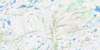
011P13 Peter Snout Topo Map
To view this map, mouse over the map preview on the right.
You can also download this topo map for free:
011P13 Peter Snout high-resolution topo map image.
Maps for the Peter Snout topo map sheet 011P13 at 1:50,000 scale are also available in these versions:
Peter Snout Surrounding Area Topo Maps
 |
 |
 |
 |
 |
 |
 |
 |
 |
|||
© Department of Natural Resources Canada. All rights reserved.
Peter Snout Gazetteer
The following places can be found on topographic map sheet 011P13 Peter Snout:
Peter Snout Topo Map: Cliffs
The CliffPeter Snout Topo Map: Lakes
Carson PondCouteau Lake
Dry Pond
Fish Hole
Rocky Ridge Pond
Stephensons Pond
Top Pond
Trappers Pond
Peter Snout Topo Map: Mountains
Big HillBlue Hills of Couteau
Bread and Cheese Hill
Ironbound Hill
Peter Snout
Pot Mountain
Scrag Hill
The Brow
Peter Snout Topo Map: Rivers
Couteau BrookCutts Brook
Grandy Brook
Seal Brook
Top Pond Brook
Victoria River
Peter Snout Topo Map: Valleys
Mexican Valley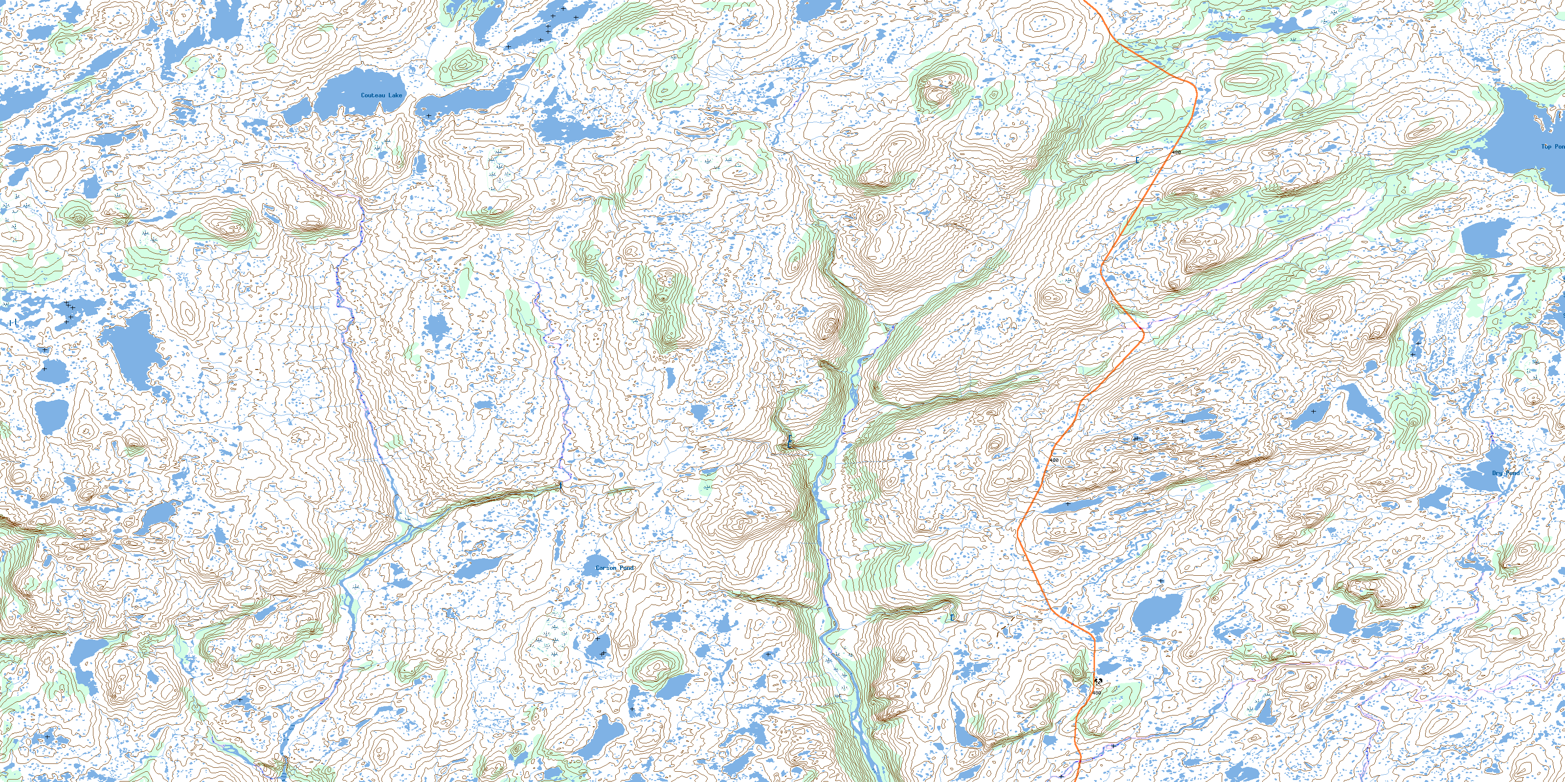
© Department of Natural Resources Canada. All rights reserved.
