Cape La Hune Topo Map Online
Download Free Topo Map Sheet 011P10 at 1:50,000 scale
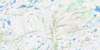
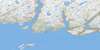
011P10 Cape La Hune Topo Map
To view this map, mouse over the map preview on the right.
You can also download this topo map for free:
011P10 Cape La Hune high-resolution topo map image.
Maps for the Cape La Hune topo map sheet 011P10 at 1:50,000 scale are also available in these versions:
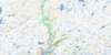
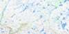
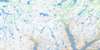
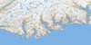
Cape La Hune Surrounding Area Topo Maps
 |
 |
 |
 |
 |
 |
 |
 |
 |
|||
© Department of Natural Resources Canada. All rights reserved.
Cape La Hune Gazetteer
The following places can be found on topographic map sheet 011P10 Cape La Hune:
Cape La Hune Topo Map: Bays
Aviron BayBagg Cove
Barasway
Barrisway Cove
Black Cove
Bob Lock Cove
Brandy Cove
Cape Cove
Chaleur Bay
Chaleur Harbour
Cooper Cove
Cul de Sac
Cul de Sac
Deadman Cove
Devil Bay
Dolland Bight
Dorton Cove
Fannys Black Hole
Foots Cove
François Bay
Friar Cove
Hare Bay
Hauling Up Cove
Hemlock Cove
Herringnet Cove
Hollingshead Cove
La Hune Bay
La Hune Harbour
Lance Cove
Little Bay
Long Bight
Mare Cove
Mitchell Cove
Moodys Cove
Morgan Arm
Moulton Cove
New Harbour
Nick Power Cove
Northeast Cove
Northeast Cove
Northwest Arm
Paddle Cove
Rencontre Bay
Save All Hole
Seals Rest Cove
Southeast Arm
Southeast Bight
The Cove
Wild Cove
Cape La Hune Topo Map: Beaches
The BeachThe Reef
Cape La Hune Topo Map: Capes
Aviron PointBagg Head
Barley Point
Battery Point
Bill of Lance Cove Point
Black Head
Black Point
Brandy Head
Cape La Hune
Coopers Head
Dorton Head
Doughball Point
East Point
Eastern Head
Funnel Head
Grip Head
Hares Ears Point
Lance Cove Point
Lance Cove Promontory
Little Bay Cove Point
Long Point
Long Point
Long Point
Nick Power Point
Pinchgut Point
Red Point
Sandy Point
Shooter Point
Stake Point
Styles Point
West Point
West Point
West Point
Western Head
Cape La Hune Topo Map: Cliffs
Blow Me DownCape La Hune Topo Map: Falls
Aviron FallsCape La Hune Topo Map: Islands
Cape IslandGull Island
Harry Island
New Harbour Island
The Friar
Cape La Hune Topo Map: Lakes
Bagg PondBagg Pond
Big Pond
Bill Whites Pond
Goose Pond
Greeps Nest Pond
Gull Pond
Man Pond
Middle Pond
Our Pond
Stage Pond
Two Mile Pond
Cape La Hune Topo Map: Mountains
Bagg HillBig Hill
Flagstaff Hill
Good Friday Hill
High Land of La Hune
High Lookout
Ironskull
Northwest Hill
Notch Block Hill
Peters Hill
Pinks Hill
St. Alban's
St. Ilian's
Sugarloaf
The Friar
Tolt
Wax Chimney
Cape La Hune Topo Map: Rivers
Dolland BrookDry Brook
Grey River
Herring Net Brook
Michaels Brook
Morgan Brook
Rattling Brook
Salmon Brook
The Brook
Tilt Brook
Cape La Hune Topo Map: Shoals
Aviron RockBlack Rock
Bob Shoal
Cape Rocks
Distress Rock
Eastern Shoal
Hares Ears Rock
John Pink Shoal
Long Point Shoal
Loon Rocks
Lower Rock
Middle Rock
Naked Man
North Rock
Red Point Rock
Satchel Shoal Rock
Southwest Shoal
Cape La Hune Topo Map: Unincorporated areas
Cape la HuneCul de Sac West
François
Locks Cove
New Harbour
Parsons Harbour
Rencontre West
Cape La Hune Topo Map: Valleys
The Gorge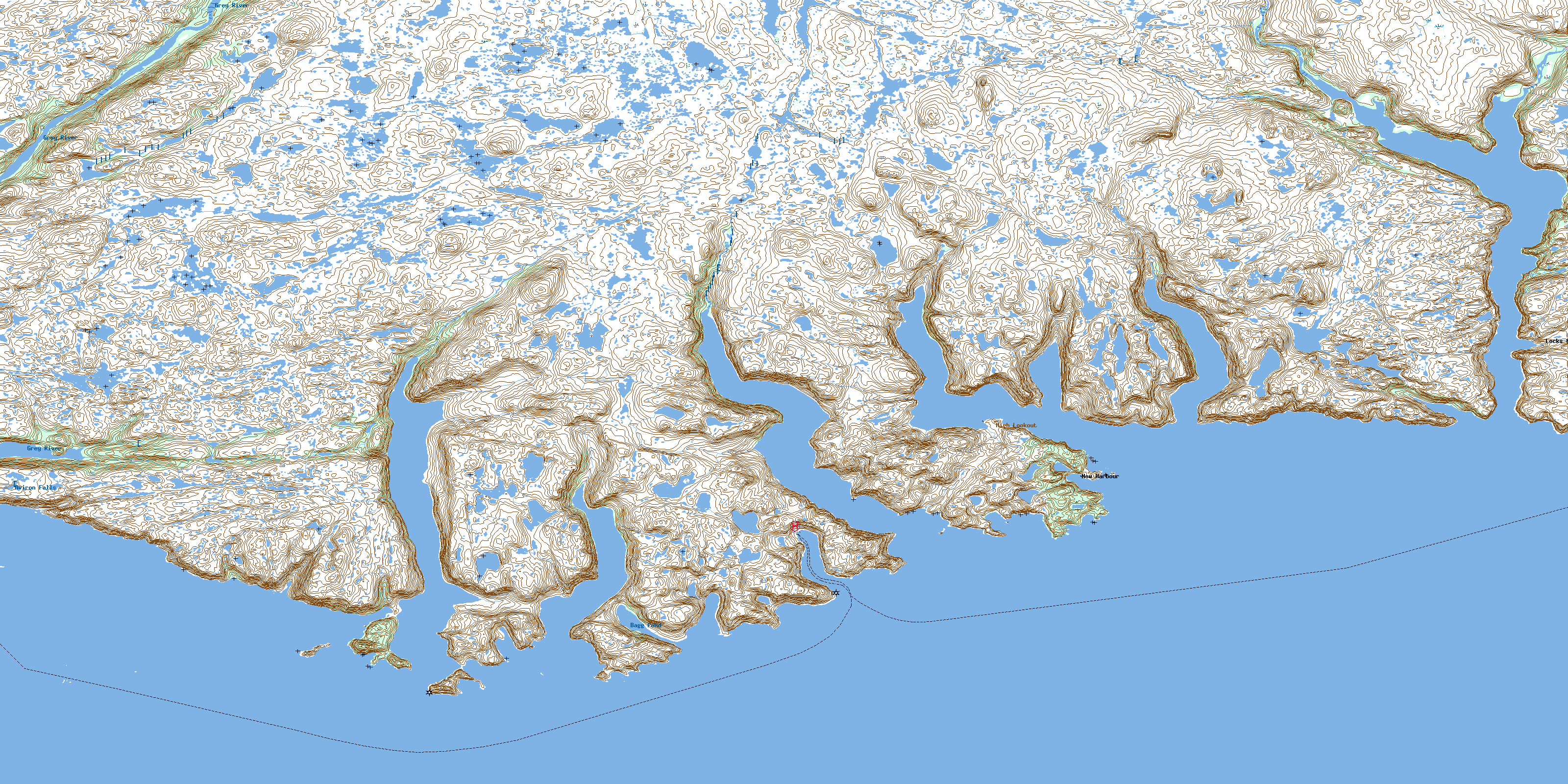
© Department of Natural Resources Canada. All rights reserved.
