Etamamiou Topo Map Online
Download Free Topo Map Sheet 012J05 at 1:50,000 scale
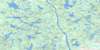
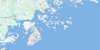
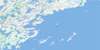
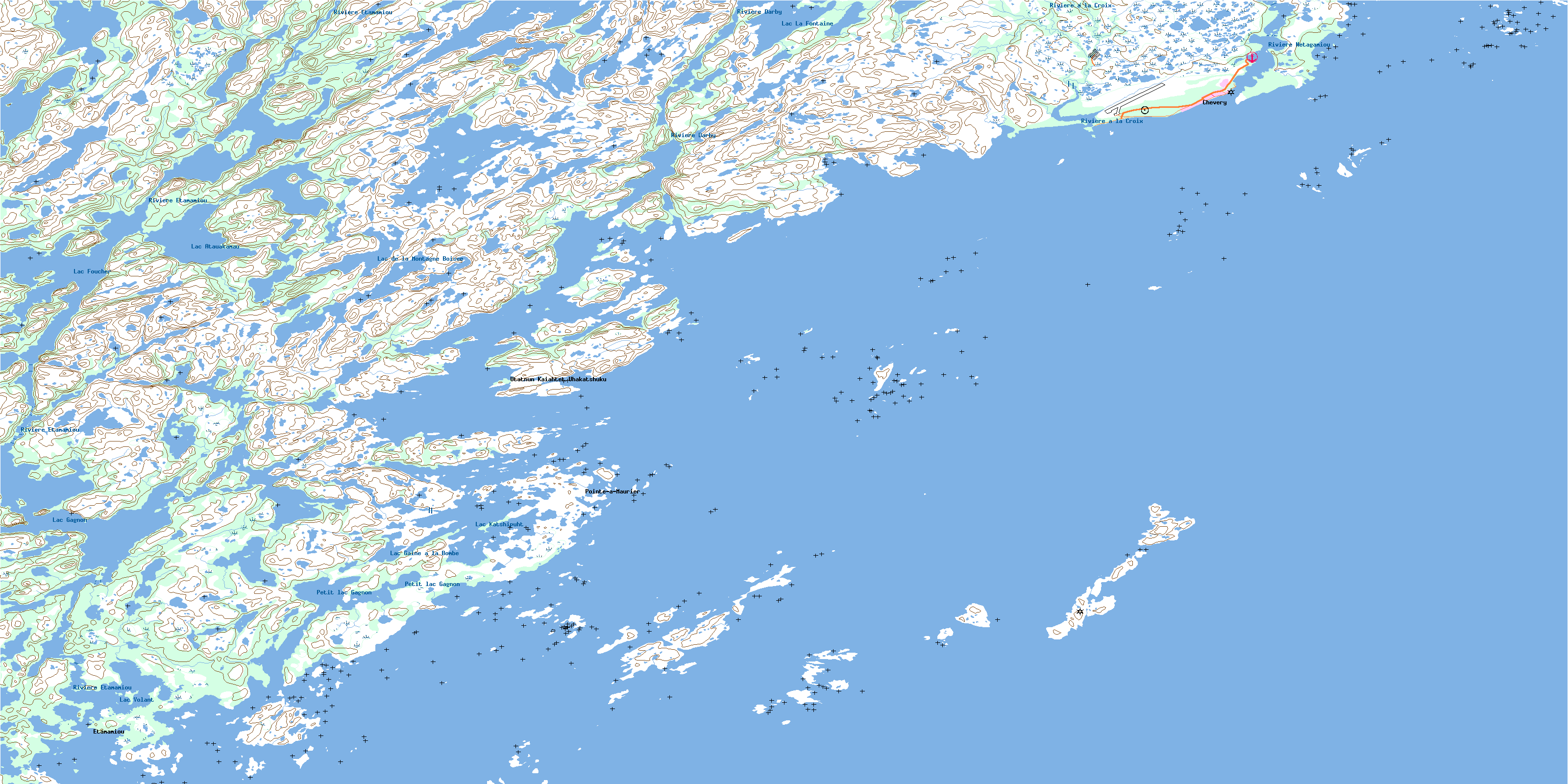
012J05 Etamamiou Topo Map
To view this map, mouse over the map preview on the right.
You can also download this topo map for free:
012J05 Etamamiou high-resolution topo map image.
Maps for the Etamamiou topo map sheet 012J05 at 1:50,000 scale are also available in these versions:
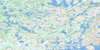
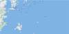
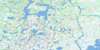
Etamamiou Surrounding Area Topo Maps
 |
 |
 |
|
 |
 |
 |
|
 |
|||
© Department of Natural Resources Canada. All rights reserved.
Etamamiou Gazetteer
The following places can be found on topographic map sheet 012J05 Etamamiou:
Etamamiou Topo Map: Bays
Baie BussièreBaie de l'Ouest
Baie du Nord
Golfe du Saint-Laurent
Havre Blais
Havre Hamel
Havre Jolliet
Havre Nazaire
Havre Yankee
Etamamiou Topo Map: Capes
Pointe à MaurierPointe au Mourier
Pointe Sealnet
Etamamiou Topo Map: Channels
Détroit WatagheisticPasse aux Canots
Etamamiou Topo Map: Geographical areas
Archipel-de-Sainte-MarieBaune
Charnay
Etamamiou Topo Map: Islands
Archipel de Sainte-MarieÎle à la Butte
Île à la Pruche
Île aux Amers
Île aux Mouches
Île Beacon
Île de l'Anse
Île Fly
Île Hemlock
Île Matagheistic
Île Matchiatic
Île Mound
Île Sainte-Marie
Île Washtamaska
Île Watagheistic
Îles aux Loups Marins
Îles aux Perroquets
Îles Boat
Îles Cliff
Îles Galibois
Îles Mariannes
Îles Middle
Îles Nétagamiou
Îles Sainte-Marie
Îles Southwest
Rocher Bold
Rocher Kettle
Rocher Montcalm
Rochers Bare
Etamamiou Topo Map: Lakes
Lac AtauakamauLac de la Montagne Boisée
Lac Foucher
Lac Gagnon
Lac Gaine à la Bombe
Lac Katshipuht
Lac La Fontaine
Lac Salé
Lac Volant
Petit lacGagnon
Etamamiou Topo Map: Miscellaneous
Basse-Côte-NordEtamamiou Topo Map: Conservation areas
Île Sainte-Marie Bird SanctuaryRefuge d'oiseaux des Îles Sainte-Marie
Etamamiou Topo Map: Rivers
Rivière à FortierRivière à la Croix
Rivière Darby
Rivière Derby
Rivière Étamamiou
Rivière Nétagamiou
Etamamiou Topo Map: Shoals
Récif CutterRécif du Centre
Récifs Noirs
Récifs Tender
Etamamiou Topo Map: Unincorporated areas
BellecourtChevery
Chevery
Cross River
Étamamiou
Les Îles-Sainte-Marie
Netagamu River
Pointe-à-Maurier
Rivière-Étamamiou
Saint-Mary-Islands
Utatnun Kaiahtet Uhakatshuku
Etamamiou Topo Map: Villages
Côte-Nord-du-Golfe-du-Saint-LaurentCôte-Nord-du-Golfe-Saint-Laurent
© Department of Natural Resources Canada. All rights reserved.
