Lac Kerdelhue Topo Map Online
Download Free Topo Map Sheet 012N12 at 1:50,000 scale
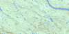
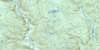
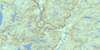
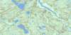
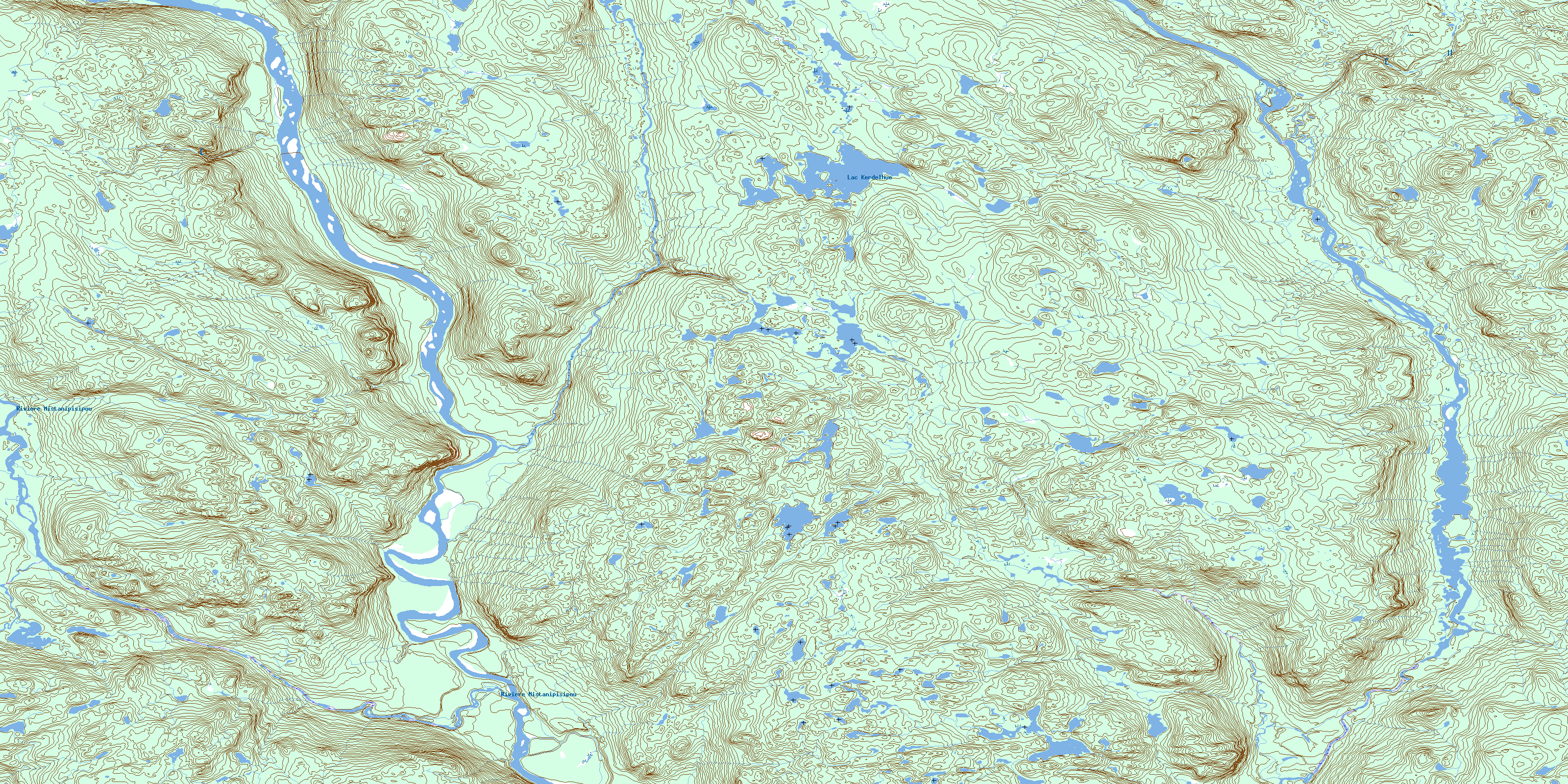
012N12 Lac Kerdelhue Topo Map
To view this map, mouse over the map preview on the right.
You can also download this topo map for free:
012N12 Lac Kerdelhue high-resolution topo map image.
Maps for the Lac Kerdelhue topo map sheet 012N12 at 1:50,000 scale are also available in these versions:
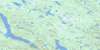
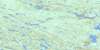
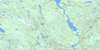
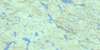
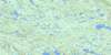
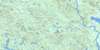
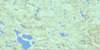
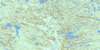
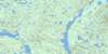
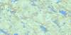
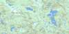
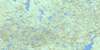
Lac Kerdelhue Surrounding Area Topo Maps
 |
 |
 |
 |
 |
 |
 |
 |
 |
 |
 |
 |
 |
 |
 |
 |
© Department of Natural Resources Canada. All rights reserved.
Lac Kerdelhue Gazetteer
The following places can be found on topographic map sheet 012N12 Lac Kerdelhue:
Lac Kerdelhue Topo Map: Lakes
Lac KerdelhuéLac Nenikukupahu
Lac Kerdelhue Topo Map: Plains
Plateau HiatshuakapuLac Kerdelhue Topo Map: Rapids
Rapides MahkunutshiatLac Kerdelhue Topo Map: Rivers
Rivière MahkunipiuRivière Mahkunutshiau
Rivière Mistanipisipou
Rivière Natashquan
Rivière Natashquan Est
Ruisseau Uapistan
© Department of Natural Resources Canada. All rights reserved.
012N Related Maps:
012N Riviere Natashquan012N01 Lac Du Gas
012N02 Lac Montcevelles
012N03 Lac Bohier
012N04 Lac Cormier
012N05 Lac Briend
012N06 Lac Le Dore
012N07 Lac Lorens
012N08 Lac Briconnet
012N09 Riviere Mongeaux
012N10 Lac Le Tort
012N11 Lac Du Nort
012N12 Lac Kerdelhue
012N13 Lac Le Marquand
012N14 Lac Bastille
012N15 Lac Golet
012N16 Lac Le Breton
