Port-Menier Topo Map Online
Download Free Topo Map Sheet 022H16 at 1:50,000 scale
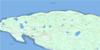
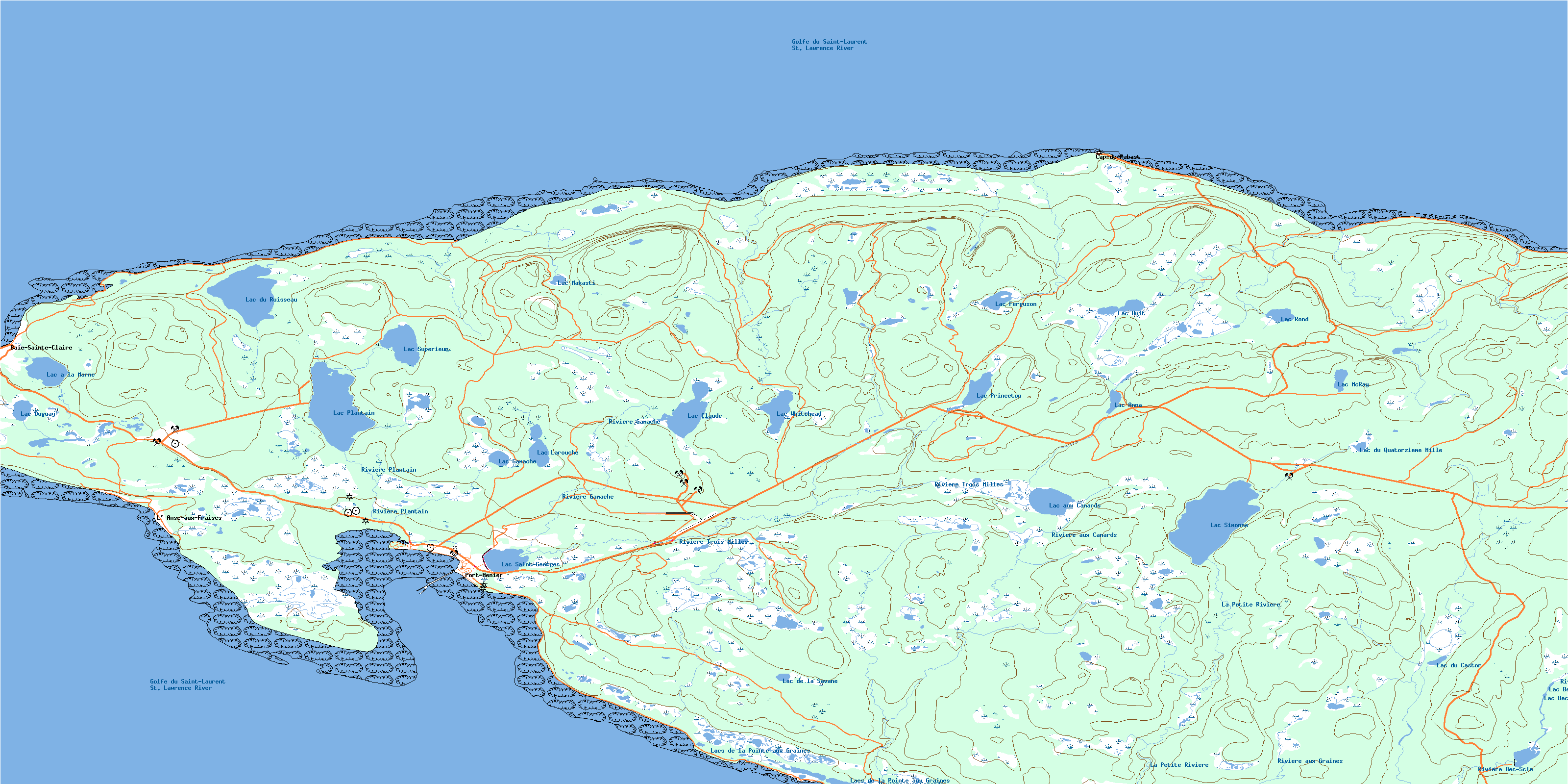
022H16 Port-Menier Topo Map
To view this map, mouse over the map preview on the right.
You can also download this topo map for free:
022H16 Port-Menier high-resolution topo map image.
Maps for the Port-Menier topo map sheet 022H16 at 1:50,000 scale are also available in these versions:
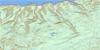
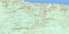
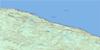
Port-Menier Surrounding Area Topo Maps
 |
|||
 |
|||
 |
 |
 |
 |
© Department of Natural Resources Canada. All rights reserved.
Port-Menier Gazetteer
The following places can be found on topographic map sheet 022H16 Port-Menier:
Port-Menier Topo Map: Air navigation features
Aéroport de Port-MenierPort-Menier Topo Map: Bays
Anse aux FraisesAnse Caron
Baie des Navots
Baie des Trois Ruisseaux
Baie du Grand Makasti
Baie du Petit Makasti
Baie Ellis
Baie Gamache
Baie Jolliet
Baie Sainte-Claire
Le Baille
Port-Menier Topo Map: Beaches
Les Petites BatturesPort-Menier Topo Map: Miscellaneous campsites
Pointe-NordPort-Menier Topo Map: Capes
Cap à l'AigleCap à l'Hirondelle
Cap à l'Ours
Cap aux Anglais
Cap Bell
Cap de la Vache-Qui-Pisse
Cap Ferré
Cap Henri
Cap Menier
Côte de la Découverte
Côte de la Grande Traversée
English Head
Junction Cliff
Pointe aux Foins
Pointe aux Graines
Pointe aux Groseilles
Pointe aux Ivrognes
Pointe aux Ivrognes
Pointe du Château
Pointe Jolliet
Pointe Laframboise
Pointe Nord
Pointe Sèche
Pointe Wakeham
Port-Menier Topo Map: Caves
Grotte des Trois PlainesPort-Menier Topo Map: Channels
Détroit de Jacques-CartierDétroit d'Honguedo
Passage Gaspé
Port-Menier Topo Map: Cliffs
Cap BlancFalaise aux Fossiles
Falaise Blanche
Falaise Gamache
Falaise Ouest
White Cliff
Port-Menier Topo Map: Falls
Chute à BoulayPort-Menier Topo Map: Islands
Le Nombril à SimonneLes Roselets
Port-Menier Topo Map: Lakes
Étang MystérieuxÉtang Simard
Lac à la Marne
Lac Anna
Lac aux Becs-Scie
Lac aux Canards
Lac Bec-Scie
Lac Claude
Lac de la Pipe
Lac de la Savane
Lac du Castor
Lac du Quatorzième Mille
Lac du Ruisseau
Lac Duguay
Lac Elsie
Lac Ferguson
Lac Gagnon
Lac Gamache
Lac Gamache
Lac Huit
Lac Larouche
Lac Makasti
Lac McKray
Lac McRay
Lac Plantain
Lac Princeton
Lac Rond
Lac Saint-Georges
Lac Sans Bout
Lac Simard
Lac Simone
Lac Simonne
Lac Supérieur
Lac Whitehead
Lacs de la Pointe aux Graines
Les Trois Plaines
Port-Menier Topo Map: Marine navigation features
Phare de Pointe-NordQuai de Port-Menier
Port-Menier Topo Map: Miscellaneous
Centrale de Port-MenierL'Assomption
Poste de Port-Menier
Port-Menier Topo Map: Mountains
Colline MakastiPort-Menier Topo Map: Rivers
Canal Saint-GeorgesLa Petite Rivière
Le Grand Ruisseau
Rivière aux Becs-Scie
Rivière aux Canards
Rivière aux Graines
Rivière Bec-Scie
Rivière Gamache
Rivière Plantain
Rivière Setter
Rivière Trois Milles
Ruisseau Barbarin
Ruisseau Diane
Ruisseau du Château
Ruisseau du Delta
Ruisseau Lambert
Ruisseau Makasti
Ruisseau Malouin
Port-Menier Topo Map: Shoals
Récifs de l'EstPort-Menier Topo Map: Unincorporated areas
Baie-des-Trois-RuisseauxBaie-Sainte-Claire
Cap-de-Rabast
L'Anse-aux-Fraises
Le Canton
Le Château-Menier
Pointe-de-l'Ouest
Pointe-Ouest
Port-Menier
Port-Menier
Trois-Ruisseaux
Port-Menier Topo Map: Low vegetation
Plaine de l'Autre BordPlaines de la Pointe Ouest
© Department of Natural Resources Canada. All rights reserved.
