Broughton Harbour Topo Map Online
Download Free Topo Map Sheet 026P09 at 1:50,000 scale
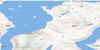
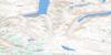
026P09 Broughton Harbour Topo Map
To view this map, mouse over the map preview on the right.
You can also download this topo map for free:
026P09 Broughton Harbour high-resolution topo map image.
Maps for the Broughton Harbour topo map sheet 026P09 at 1:50,000 scale are also available in these versions:
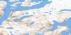
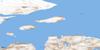
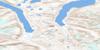
Broughton Harbour Surrounding Area Topo Maps
 |
 |
 |
|
 |
 |
 |
|
 |
|||
 |
© Department of Natural Resources Canada. All rights reserved.
Broughton Harbour Gazetteer
The following places can be found on topographic map sheet 026P09 Broughton Harbour:
Broughton Harbour Topo Map: Bays
Broughton HarbourKangirtukutaaruluq Fiord
Broughton Harbour Topo Map: Channels
Broughton ChannelBroughton Harbour Topo Map: Hamlets
Broughton IslandQikiqtarjuaq
Broughton Harbour Topo Map: Islands
Broughton IslandBroughton Harbour Topo Map: Mountains
Akuliaqatta BluffAquliaqatta Bluff
Pingajuata Mountain
Broughton Harbour Topo Map: Rivers
Kuruluk River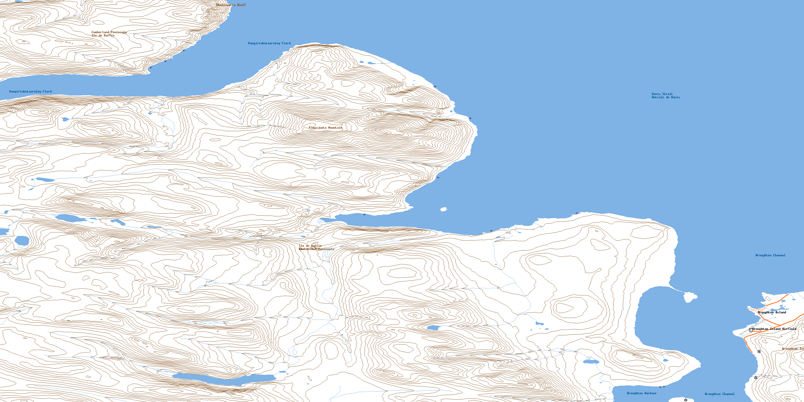
© Department of Natural Resources Canada. All rights reserved.
