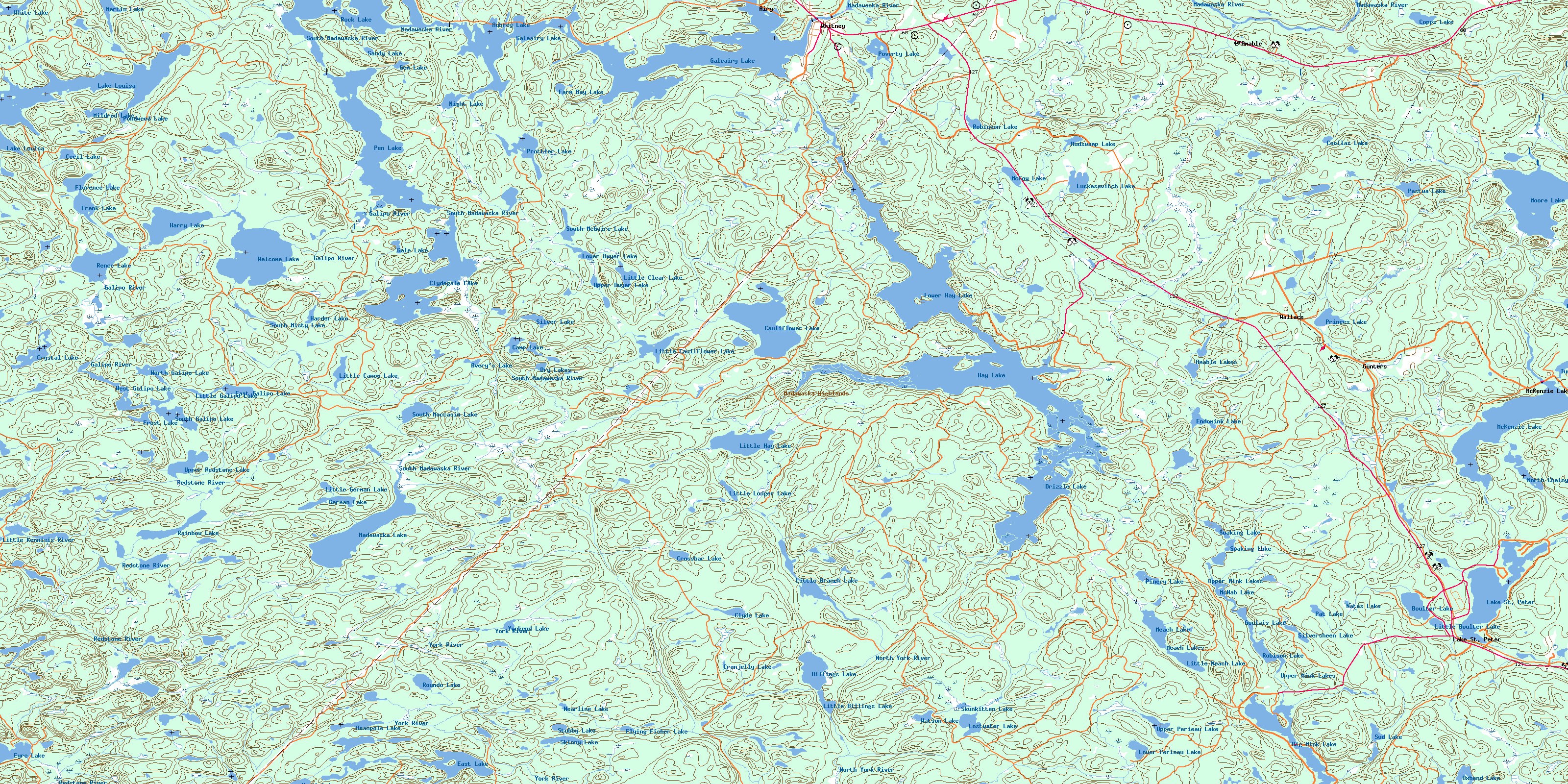
Whitney Topo Map Online
Download Free Topo Map Sheet 031E08 at 1:50,000 scale
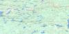
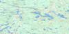
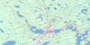
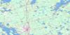
031E08 Whitney Topo Map
To view this map, mouse over the map preview on the right.
You can also download this topo map for free:
031E08 Whitney high-resolution topo map image.
Maps for the Whitney topo map sheet 031E08 at 1:50,000 scale are also available in these versions:
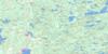
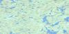
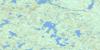
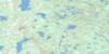
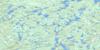
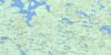
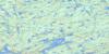
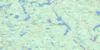
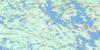
Whitney Surrounding Area Topo Maps
 |
 |
 |
 |
 |
 |
 |
 |
 |
 |
 |
 |
 |
 |
 |
 |
© Department of Natural Resources Canada. All rights reserved.
Whitney Gazetteer
The following places can be found on topographic map sheet 031E08 Whitney:
Whitney Topo Map: Bays
Card BayEcho Bay
Farm Bay
Forest Bay
Inlet Bay
Purcell Cove
Whitney Topo Map: Capes
Huckleberry PointWhitney Topo Map: Channels
First NarrowsRed Pine Narrows
Whitney Topo Map: Geographical areas
AiryBruton
Clyde
Eyre
Haliburton
Harburn
Hastings
Lawrence
Lyell
McClure
Murchison
Nightingale
Nipissing
Sabine
Wicklow
Whitney Topo Map: Islands
Jean IslandTanner Island
Third Island
Whitney Topo Map: Lakes
Amable LakesAubrey Lake
Avery's Lake
Beanpole Lake
Big Mink Lake
Billings Lake
Boulter Lake
Camp Lake
Cauliflower Lake
Cecil Lake
Clyde Lake
Clydegale Lake
Coollas Lake
Copps Lake
Cranjelly Lake
Crossbar Lake
Crystal Lake
Drizzle Lake
Dry Lakes
East Galipo Lake
East Lake
Endomink Lake
Eyre Lake
Farm Bay Lake
Florence Lake
Flying Fisher Lake
Frank Lake
Frost Lake
Gale Lake
Galeairy Lake
Gem Lake
German Lake
Goulais Lake
Harder Lake
Harry Lake
Hay Lake
Lake Louisa
Lake St. Peter
Little Billings Lake
Little Boulter Lake
Little Branch Lake
Little Canoe Lake
Little Cauliflower Lake
Little Clear Lake
Little Galipo Lake
Little German Lake
Little Hay Lake
Little Longer Lake
Little Marguardt Lake
Little Marquardt Pond
Little Meach Lake
Lostwater Lake
Lower Dwyer Lake
Lower Hay Lake
Lower Perieau Lake
Luckasavitch Lake
Madawaska Lake
Marguardt Lake
Marquardt Pond
Martin Lake
Martin's Pond
McCoy Lake
McKenzie Lake
McNab Lake
Meach Lake
Meach Lakes
Mildred Lake
Moore Lake
Mudswamp Lake
Nates Lake
Nearline Lake
Night Lake
North Chainy Lake
North Galipo Lake
North Lake
Oxbend Lake
Pastwa Lake
Pat Lake
Pen Lake
Pinery Lake
Pondweed Lake
Poverty Lake
Princes Lake
Prottler Lake
Rainbow Lake
Rence Lake
Robinson Lake
Robison Lake
Rock Lake
Roundo Lake
Sandy Lake
Silver Lake
Silversheen Lake
Sitting Duck Lake
Skinny Lake
Skunkitten Lake
Soaking Lake
South Galipo Lake
South McGuire Lake
South Misty Lake
South Moccasin Lake
Stubby Lake
Sud Lake
Taylor Lake
Turf Lake
Upper Dwyer Lake
Upper Mink Lakes
Upper Perieau Lake
Upper Redstone Lake
Watson Lake
Welcome Lake
West Galipo Lake
White Lake
Yorkend Lake
Whitney Topo Map: Mountains
Madawaska HighlandsWhitney Topo Map: Major municipal/district area - major agglomerations
HaliburtonHastings
Whitney Topo Map: Other municipal/district area - miscellaneous
AiryAlgonquin Highlands
Bangor, Wicklow and McClure
Dysart, Dudley, Harcourt, Guilford, Harburn, Bruton, Havelock, Eyre and Clyde
Hastings Highlands
Herschel
Monteagle
Sherborne, McClintock and Livingstone
Sherborne, McClintock, Livingstone, Lawrence and Nightingale
Sherborne, Stanhope, McClintock, Livingstone, Lawrence and Nightingale
South Algonquin
Stanhope
Whitney Topo Map: Conservation areas
Algonquin Provincial ParkLake St. Peter Provincial Park
Upper Madawaska River Provincial Park
Whitney Topo Map: Rivers
Amable CreekBack Creek
Boulter Creek
Cauliflower Creek
Clyde Creek
Coghlan Creek
Crossbar Creek
Florence Creek
Fraser Creek
Galipo River
Green Creek
Hay Creek
Little Kennisis River
Louisa Creek
Madawaska River
Marguardt Creek
Marquardt Creek
Martin Creek
McCoy Creek
Meach Creek
Mink Creek
Moore Creek
North York River
Otter Creek
Papineau Creek
Pastwa Creek
Perieau Creek
Poverty Creek
Redstone River
South Madawaska River
Taylor Creek
York River
Whitney Topo Map: Unincorporated areas
AiryGunters
Lake St. Peter
L'Amable
Madawaska
McConnell
McKenzie Lake
Princes Lake
Wallace
Whitney
© Department of Natural Resources Canada. All rights reserved.
031E Related Maps:
031E Huntsville031E01 Wilberforce
031E02 Haliburton
031E03 Bracebridge
031E04 Lake Joseph
031E05 Orrville
031E06 Huntsville
031E07 Kawagama Lake
031E08 Whitney
031E09 Opeongo Lake
031E10 Tom Thomson Lake
031E11 Burk's Falls
031E12 Magnetawan
031E13 Golden Valley
031E14 South River
031E15 Burntroot Lake
031E16 Lake Lavieille
