Huntsville Topo Map Online
Download Free Topo Map Sheet 031E06 at 1:50,000 scale
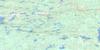
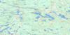
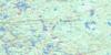
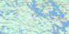
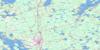
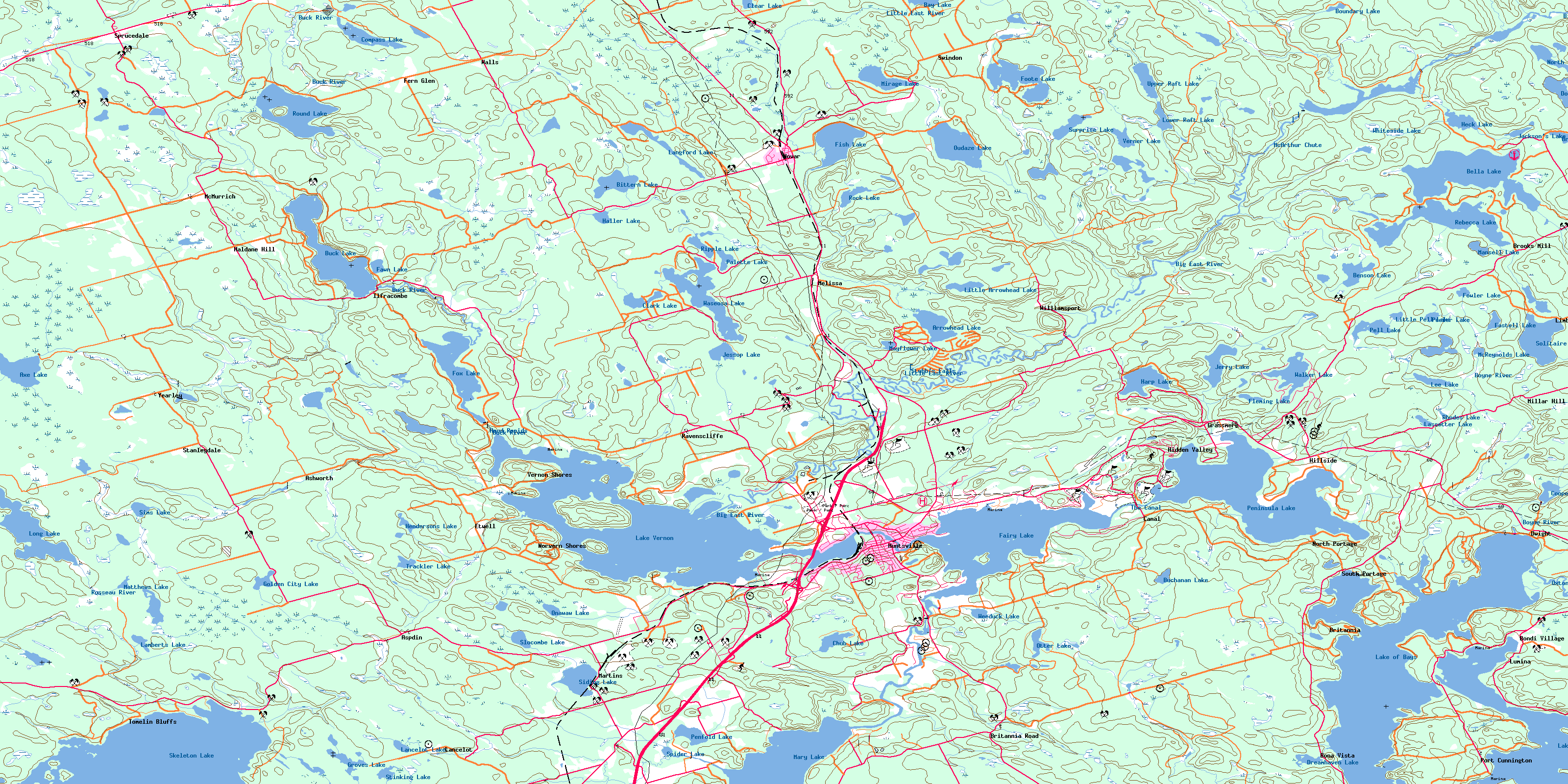
031E06 Huntsville Topo Map
To view this map, mouse over the map preview on the right.
You can also download this topo map for free:
031E06 Huntsville high-resolution topo map image.
Maps for the Huntsville topo map sheet 031E06 at 1:50,000 scale are also available in these versions:
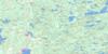
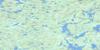
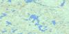
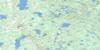
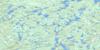
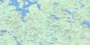
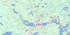
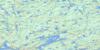
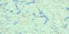
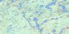
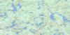
Huntsville Surrounding Area Topo Maps
 |
 |
 |
 |
 |
 |
 |
 |
 |
 |
 |
 |
 |
 |
 |
 |
© Department of Natural Resources Canada. All rights reserved.
Huntsville Gazetteer
The following places can be found on topographic map sheet 031E06 Huntsville:
Huntsville Topo Map: Bays
Church BayDwight Bay
Haystack Bay
Hunters Bay
Hutcheson's Bay
Hutchinson Bay
Long Bay
North Bay
Portage Bay
Rat Bay
Timber Bay
Wolf Bay
Huntsville Topo Map: Beaches
Dwight BeachHuntsville Topo Map: Capes
Breezy PointFox Point
Ideal Point
Menominee Point
Point Ideal
Pow Wow Point
Huntsville Topo Map: Channels
The NarrowsHuntsville Topo Map: Falls
McArthur ChuteStubb's Falls
Huntsville Topo Map: Geographical areas
BethuneBrunel
Cardwell
Chaffey
Franklin
McMurrich
Muskoka
Parry Sound
Perry
Sinclair
Stephenson
Stisted
Watt
Huntsville Topo Map: Hydraulic construction
Distress DamHuntsville Topo Map: Islands
Alice IslandAnderson Island
Antler Island
Big Island
Bigwin Island
Centreview Island
Claire Island
Fairhope Island
Gallaugher Island
Gardner Island
Gull Island
Haystack Island
Helen Island
Hills Island
Kelley Twins Islands
Lawrence Island
Lee Islands
Marlatt Island
One Tree Island
Opal Island
Pancake Island
Peacock Island
Roberts Island
Rock Island
Rock Island
Shanibel Island
Snake Island
Togo Island
Treasure Island
Vimy Ridge Island
Wee Island
Wolf Island
Zephyr Island
Huntsville Topo Map: Lakes
Arrowhead LakeAxe Lake
Bay Lake
Bella Lake
Benson Lake
Bing Lake
Bittern Lake
Boundary Lake
Brooks Lake
Buchanan Lake
Buck Lake
Cardwell Lake
Chub Lake
Clark Lake
Clear Lake
Compass Lake
Cooper Lake
Cotter Lake
Dotty Lake
Dreamhaven Lake
Eastell Lake
Erkett's Pond
Fairy Lake
Fawn Lake
Fish Lake
Fleming Lake
Foote Lake
Fowler Lake
Fox Lake
Golden City Lake
Groves Lake
Haller Lake
Harp Lake
Heck Lake
Hendersons Lake
Jackson's Lake
Jerry Lake
Jessop Lake
Lake of Bays
Lake Vernon
Lamberts Lake
Lancelot Lake
Langford Lake
Lassetter Lake
Lee Lake
Little Arrowhead Lake
Little Pell Lake
Long Lake
Lower Raft Lake
Mansell Lake
Mary Lake
Matthews Lake
Mayflower Lake
McBrien Pond
McReynolds Lake
Mirage Lake
North Dotty Lake
Onawaw Lake
Otter Lake
Oudaze Lake
Palette Lake
Peeler Lake
Pell Lake
Penfold Lake
Peninsula Lake
Perch Lake
Raft Lake
Rebecca Lake
Rhodes Lake
Ripple Lake
Robinson Lake
Rock Lake
Round Lake
Schamerhorn Lake
Siding Lake
Sims Lake
Skeleton Lake
Slocombe Lake
Solitaire Lake
Spider Lake
Stinking Lake
Surprise Lake
Trackler Lake
Trackler Lake
Upper Raft Lake
Verner Lake
Walker Lake
Wallington Lake
Waseosa Lake
Weeduck Lake
Whiteside Lake
Huntsville Topo Map: Miscellaneous
Halte du Lac-TémiscamingueHuntsville Topo Map: Major municipal/district area - major agglomerations
MuskokaHuntsville Topo Map: Other municipal/district area - miscellaneous
BrunelChaffey
Franklin
Lake of Bays
McLean
McMurrich
McMurrich/Monteith
Muskoka Lakes
Perry
Ridout
Stephenson
Stisted
Huntsville Topo Map: Conservation areas
Arrowhead Provincial ParkAxe Lake Wetland Conservation Reserve
Big East River Provincial Park
Eastern Cardwell Forest Conservation Reserve
J. Albert Bauer Provincial Park
Long Lake-Lancelot Creek Conservation Reserve
Upper Raft Lake Conservation Reserve
Huntsville Topo Map: Rapids
Hood RapidsHuntsville Topo Map: Rivers
Alderdyce CreekAxe Creek
Bear Creek
Beaver Creek
Beggsboro Creek
Big East River
Bittern Creek
Black Creek
Boyne River
Bravender Creek
Buck River
East River
Fox Creek
Gypsy Bill Creek
Jessop Creek
Lancelot Creek
Little East River
Little Tonawanda Creek
Mirage Creek
Mirage Creek
North Branch Muskoka River
North Muskoka River
Oxtongue River
Raft Creek
Rebecca Creek
Rosseau River
Sixteen Mile Creek
The Canal
Tonawanda Creek
Wadis Creek
Wallington Creek
Huntsville Topo Map: Shoals
Britannia ShoalPoint Ideal Shoal
Seagull Rock
Huntsville Topo Map: Towns
HuntsvilleKearney
Huntsville Topo Map: Unincorporated areas
AllensvilleAntioch
Ashworth
Aspdin
Bona Vista
Bondi Village
Britannia
Britannia Road
Brooks Mill
Camp Onawaw
Canal
Centurion
Dwight
Etwell
Fern Glen
Grassmere
Haldane Hill
Hidden Valley
Hillside
Ilfracombe
Kingsway
Lancelot
Limberlost Lodge
Lumina
Martin Siding
Martins
McMurrich
Melissa
Millar Hill
North Portage
Norvern Shores
Novar
Penlake
Pitsite
Port Cunnington
Portage
Ravenscliff
Ravenscliffe
Seely
South Portage
Sprucedale
Stanleydale
Swindon
Tomelin Bluffs
Vernon Shores
Walls
Williamsport
Yearley
Yearleys
© Department of Natural Resources Canada. All rights reserved.
031E Related Maps:
031E Huntsville031E01 Wilberforce
031E02 Haliburton
031E03 Bracebridge
031E04 Lake Joseph
031E05 Orrville
031E06 Huntsville
031E07 Kawagama Lake
031E08 Whitney
031E09 Opeongo Lake
031E10 Tom Thomson Lake
031E11 Burk's Falls
031E12 Magnetawan
031E13 Golden Valley
031E14 South River
031E15 Burntroot Lake
031E16 Lake Lavieille
