North Bay Topo Map Online
Download Free Topo Map Sheet 031L06 at 1:50,000 scale
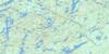
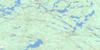
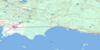
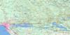
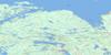
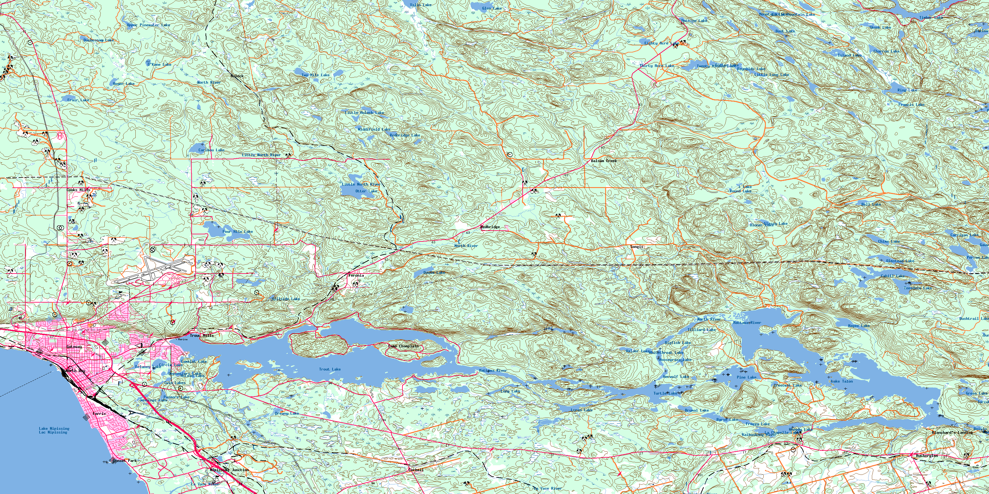
031L06 North Bay Topo Map
To view this map, mouse over the map preview on the right.
You can also download this topo map for free:
031L06 North Bay high-resolution topo map image.
Maps for the North Bay topo map sheet 031L06 at 1:50,000 scale are also available in these versions:
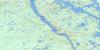
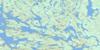
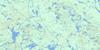
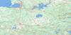
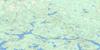
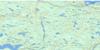
North Bay Surrounding Area Topo Maps
 |
 |
 |
 |
 |
 |
 |
 |
 |
 |
 |
 |
 |
 |
 |
 |
© Department of Natural Resources Canada. All rights reserved.
North Bay Gazetteer
The following places can be found on topographic map sheet 031L06 North Bay:
North Bay Topo Map: Bays
Baie KaibuskongBaie Shields
Cherries Bay
Delaney Bay
Dugas Bay
Four Mile Bay
Fourmile Bay
James Bay
Kaibuskong Bay
Lounsbury Bay
McCool Bay
Milnes Bay
One Mile Bay
Rice Bay
Shields Bay
Spottswood Bay
North Bay Topo Map: Capes
Bowles PointChapleau Point
Doran Point
First Rocky Point
Grasswell Point
Pilot Point
Rocky Point
Sampson Point
Second Rocky Point
Shields Point
St. Laurent Point
Sunset Point
North Bay Topo Map: Channels
The NarrowsNorth Bay Topo Map: City
North BayNorth Bay Topo Map: Falls
Red Pine ChuteTalon Chute
North Bay Topo Map: Geographical areas
AntoineBonfield
Butler
Calvin
East Ferris
Ferris
French
Merrick
Mulock
Nipissing
Olrig
Phelps
West Ferris
Widdifield
North Bay Topo Map: Islands
Baltic IslandCamp Comfort Island
Camp Island
Cedar Island
Dave Island
Dellview Island
Dunn Island
Falconbridge Island
Fitzsimmons Island
Hemlock Island
Heyworth Island
Hughes Island
Joe Island
Kirkwood Island
Little Joe Island
Louisville Island
Medora Island
Murdoch Island
Payne Island
Poplar Island
Rolph Island
Shaftesbury Island
Stubbs Island
Three Sisters Islands
Trout Island
Wharton Island
Wharton Island
North Bay Topo Map: Lakes
Antoine LakeBarse Lake
Bell Lake
Bigfish Lake
Boivin Lake
Boot Lake
Brumal Lake
Burntshanty Lake
Bushtrail Lake
Cahill Lake
Camelot Lake
Caribou Lake
Carrigan Lake
Charron Lake
Chime Lake
Circle Lake
Clearspot Lake
Crescent Lake
Delaney Lake
Depensiers Lake
Dillow Lakes
Dinner Lake
Doule Lake
Dreany Lake
Duchesnay Lake
Eighty Acre Lake
Four Mile Lake
Fourmile Lake
Frair Lake
Francis Lake
Froggy Lake
Gauvreau Lake
Glassy Lake
Glen Lake
Green Lake
Hillside Lake
Indian Lake
Island Lake
Jennings Lake
Kaibuskong Lake
L Lake
La Chapelle Lake
Lac à Perron
Lac Cahill
Lac des Pins
Lac des Rapides Rouges
Lac Gauvreau
Lac Grenouille
Lac La Chapelle
Lac Nipissing
Lac Noir
Lac Rond
Lac Talon
Lac Tortue
Lake Nipissing
Lake Talon
Little Long Lake
Little Mountain Lake
Little Mulock Lake
Long Lake
Loren Lake
Lunch Lake
Magee Lake
McLean Lake
Moosegrass Lake
Mountain Lake
Moyer Lake
Nekik Lake
O'Kane Lake
Olmstead Lake
Otter Lake
Parks Lake
Pasmore Lake
Perron Lake
Pine Lake
Redbridge Lake
Reynolds Lake
Ring Lake
Robichaud Lake
Round Lake
Sheedy Lake
Skunk Lake
Teesdale Lake
Thirty Acre Lake
Tilliard Lake
Timber Lake
Trout Lake
Turcotte Lake
Turtle Lake
Twenty Minute Lake
Twin Lakes
Twinline Lakes
Two Mile Lake
Upper Pinewater Lake
Valin Lake
Walder Lake
Werwolf Lake
Whitethroat Lake
Widdifield Lake
North Bay Topo Map: Military areas
Base des Forces canadiennes North BayCanadian Forces Base North Bay
North Bay Topo Map: Mountains
Culebra HillLafleur Hill
St. Laurent Hill
Thibeault Hill
North Bay Topo Map: Other municipal/district area - miscellaneous
BonfieldCalvin
East Ferris
Ferris
West Ferris
Widdifield
North Bay Topo Map: Conservation areas
Mattawa River Provincial ParkWiddifield Forest Provincial Park
North Bay Topo Map: Rapids
Mauvaise Musique RapidsPortage de la Musique
North Bay Topo Map: Rivers
Antoine CreekBalsam Creek
Blueseal Creek
Bushtrail Creek
Cahill Creek
Chippewa Creek
Cook Creek
Doran Creek
Doule Creek
Duchesnay Creek
Duchesnay River
East Balsam Creek
Four Mile Creek
Fourmile Creek
Francis Creek
Glassy Creek
Hogan Creek
Kaibuskong River
La Vase River
Lees Creek
Little North River
Little Pinewater Creek
Mattawa River
North River
Parks Creek
Pasmore Creek
Redbridge Creek
Rivière du Nord
Rivière Mattawa
Sharpes Creek
Spring Creek
Walder Creek
Widdifield Creek
North Bay Topo Map: River features
The ForksNorth Bay Topo Map: Road features
Portage de la Mauvaise MusiquePortage de Talon
Portage Pin de Musique
North Bay Topo Map: Shoals
Stepping StonesThree Sisters
North Bay Topo Map: Unincorporated areas
Balsam CreekBirch Haven
Blanchards Landing
Blanchard's Landing
Camey
Camp Champlain
Cooks Mills
Corbeil
Eastview
Feronia
Ferris
Fricker
Gateway
Graniteville
Hornell Heights
Lounsbury
Marshall Park
Mulock
Nipissing Junction
Pinewood
Pinewood Village
Redbridge
Renown
Rutherglen
Sage
Songis
Sunset Park
The Forks
Thibeault Terrace
Thorncliff
Trout Mills
Tweedsmuir
Tweedsmuir Village
Wallace Heights
Widdifield
Widdifield Station
© Department of Natural Resources Canada. All rights reserved.
031L Related Maps:
031L North Bay031L01 Brent
031L02 Kiosk
031L03 Powassan
031L04 Nipissing
031L05 Sturgeon Falls
031L06 North Bay
031L07 Mattawa
031L08 Riviere Maganasipi
031L09 Lac Bleu
031L10 Lac Beauchene
031L11 Temiscaming
031L12 Marten Lake
031L13 Ingall Lake
031L14 Ottertail Creek
031L15 Lac Grindstone
031L16 Lac Sairs
