Fisher Bay Topo Map Online
Download Free Topo Map Sheet 035H16 at 1:50,000 scale
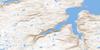
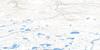
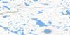
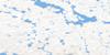
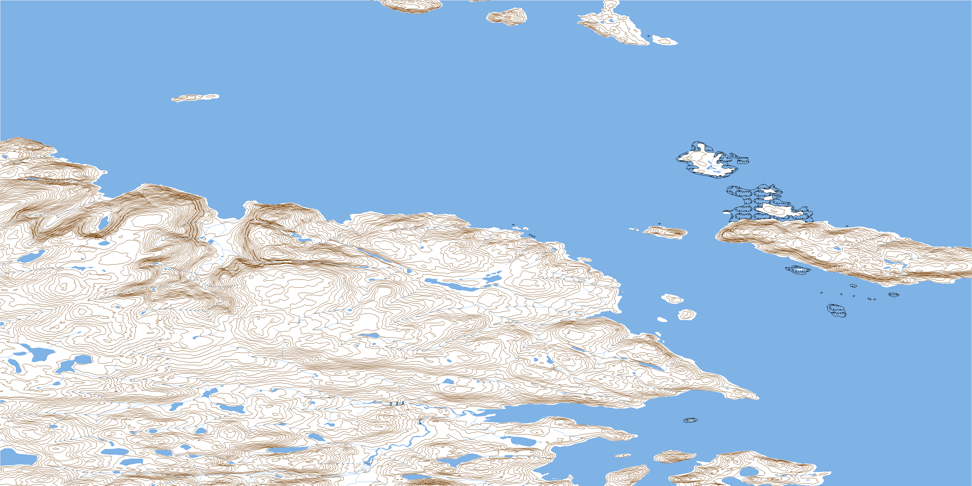
035H16 Fisher Bay Topo Map
To view this map, mouse over the map preview on the right.
You can also download this topo map for free:
035H16 Fisher Bay high-resolution topo map image.
Maps for the Fisher Bay topo map sheet 035H16 at 1:50,000 scale are also available in these versions:
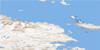
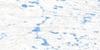
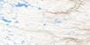
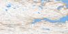
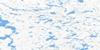
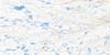
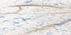
Fisher Bay Surrounding Area Topo Maps
 |
 |
 |
 |
 |
 |
 |
 |
 |
 |
 |
 |
 |
 |
 |
 |
© Department of Natural Resources Canada. All rights reserved.
Fisher Bay Gazetteer
The following places can be found on topographic map sheet 035H16 Fisher Bay:
Fisher Bay Topo Map: Bays
Baie FisherBaie Gravel
Baie King-George
Fisher Bay
Gravel Bight
Fisher Bay Topo Map: Capes
Cap La PotherieCap Muriujuq
Pointe Cantley
Pointe Fisher
Pointe Gillam
Pointe Napirvik
Fisher Bay Topo Map: Channels
Détroit d'HudsonKing George Sound
Passe Wales
Wales Sound
Fisher Bay Topo Map: Cliffs
Pinnacle BluffFisher Bay Topo Map: Islands
Cairn IsletChalmers Island
Dark Island
Double Island
Île Qikirtaaluk
Île Qikirtakallak
Île Uummanaq
Îles Ittuquassaak
King George Archipelago
Middle Island
Parsons Island
Peak Island
Shepherd Island
Smooth Island
Wales Island
Wivanhoe Island
Woman Islands
Fisher Bay Topo Map: Shoals
Fisher RockWales Rock
© Department of Natural Resources Canada. All rights reserved.
035H Related Maps:
035H Cratere Du Nouveau-Quebec035H01 Lac Charlery
035H02 Lac Arbot
035H03 Lac Nallusarqituq
035H04 Lac Vergons
035H05E Cratere Du Nouveau-Quebec
035H05W Cratere Du Nouveau-Quebec
035H06E Lac Cournoyer
035H06W Lac Cournoyer
035H07E Lac Vicenza
035H07W Lac Vicenza
035H08E Lac Samandre
035H08W Lac Samandre
035H09E Mont Albert-Low
035H09W Mont Albert-Low
035H10E Lac Wakeham
035H10W Lac Wakeham
035H11E Lac Rinfret
035H11W Lac Rinfret
035H12E Lac Fleury
035H12W Lac Fleury
035H13 Purtuniq
035H14 Lac Lecorre
035H15 Douglas Harbour
035H16 Fisher Bay
