Mont Albert-Low Topo Map Online
Download Free Topo Map Sheet 035H09 at 1:50,000 scale
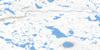
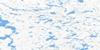
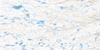
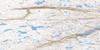
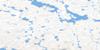
035H09 Mont Albert-Low Topo Map
To view this map, mouse over the map preview on the right.
You can also download this topo map for free:
035H09 Mont Albert-Low high-resolution topo map image.
Maps for the Mont Albert-Low topo map sheet 035H09 at 1:50,000 scale are also available in these versions:
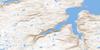
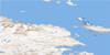
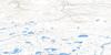
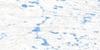
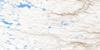
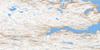
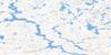
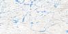
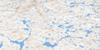
Mont Albert-Low Surrounding Area Topo Maps
 |
 |
 |
 |
 |
 |
 |
 |
 |
 |
 |
 |
 |
 |
 |
 |
© Department of Natural Resources Canada. All rights reserved.
Mont Albert-Low Gazetteer
The following places can be found on topographic map sheet 035H09 Mont Albert-Low:
Mont Albert-Low Topo Map: Bays
Baie FisherBaie Tasiujaq
Baie Wakeham
Wakeham Bay
Mont Albert-Low Topo Map: Capes
Cap UqammaqPointe Ford
Mont Albert-Low Topo Map: Channels
Passe QuurnguqThe Narrows
Mont Albert-Low Topo Map: Islands
Berthé IsletChalmers Island
Île Qikirtaaluk
Îles Qikirtaajuuk
Mont Albert-Low Topo Map: Lakes
Lac IppikutaaqLac Iqaluttuuq
Lac Lépine
Mont Albert-Low Topo Map: Mountains
Mont Albert-LowMont Young
Montagne Majuagaq
Mont Albert-Low Topo Map: Rivers
Rivière AllaagiaqRivière Iqaluttuuq
Rivière Paussiaq
Rivière Sarvaliaq
Rivière Wakeham
Ruisseau Imirtavialuk
Mont Albert-Low Topo Map: Seas
Baie d'Hudson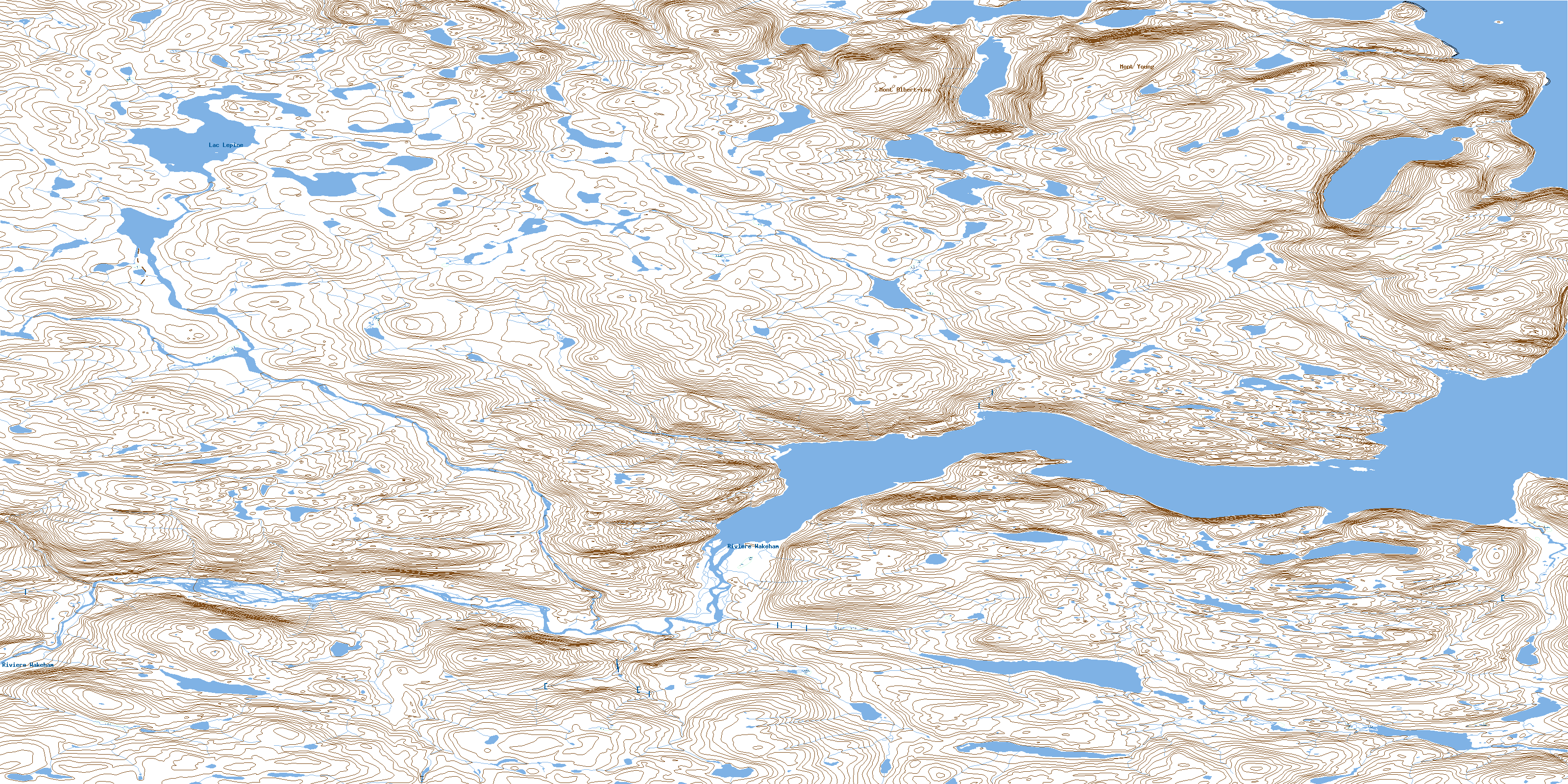
© Department of Natural Resources Canada. All rights reserved.
035H Related Maps:
035H Cratere Du Nouveau-Quebec035H01 Lac Charlery
035H02 Lac Arbot
035H03 Lac Nallusarqituq
035H04 Lac Vergons
035H05E Cratere Du Nouveau-Quebec
035H05W Cratere Du Nouveau-Quebec
035H06E Lac Cournoyer
035H06W Lac Cournoyer
035H07E Lac Vicenza
035H07W Lac Vicenza
035H08E Lac Samandre
035H08W Lac Samandre
035H09E Mont Albert-Low
035H09W Mont Albert-Low
035H10E Lac Wakeham
035H10W Lac Wakeham
035H11E Lac Rinfret
035H11W Lac Rinfret
035H12E Lac Fleury
035H12W Lac Fleury
035H13 Purtuniq
035H14 Lac Lecorre
035H15 Douglas Harbour
035H16 Fisher Bay
