Lac Francoys-Malherbe Topo Map Online
Download Free Topo Map Sheet 035J01 at 1:50,000 scale
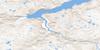
035J01 Lac Francoys-Malherbe Topo Map
To view this map, mouse over the map preview on the right.
You can also download this topo map for free:
035J01 Lac Francoys-Malherbe high-resolution topo map image.
Maps for the Lac Francoys-Malherbe topo map sheet 035J01 at 1:50,000 scale are also available in these versions:
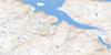
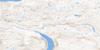
Lac Francoys-Malherbe Surrounding Area Topo Maps
 |
|||
 |
 |
 |
|
 |
 |
 |
 |
© Department of Natural Resources Canada. All rights reserved.
Lac Francoys-Malherbe Gazetteer
The following places can be found on topographic map sheet 035J01 Lac Francoys-Malherbe:
Lac Francoys-Malherbe Topo Map: Miscellaneous campsites
AgijjaitCamp Agijjait
Lac Francoys-Malherbe Topo Map: Channels
Détroit d'HudsonLac Francoys-Malherbe Topo Map: Lakes
Lac DaubervilleLac Françoys-Malherbe
Lac Murray
Lac Paumart
Lac Francoys-Malherbe Topo Map: Mountains
Colline AvvajalikDune Ippikallak
Lac Francoys-Malherbe Topo Map: Rivers
Rivière Déception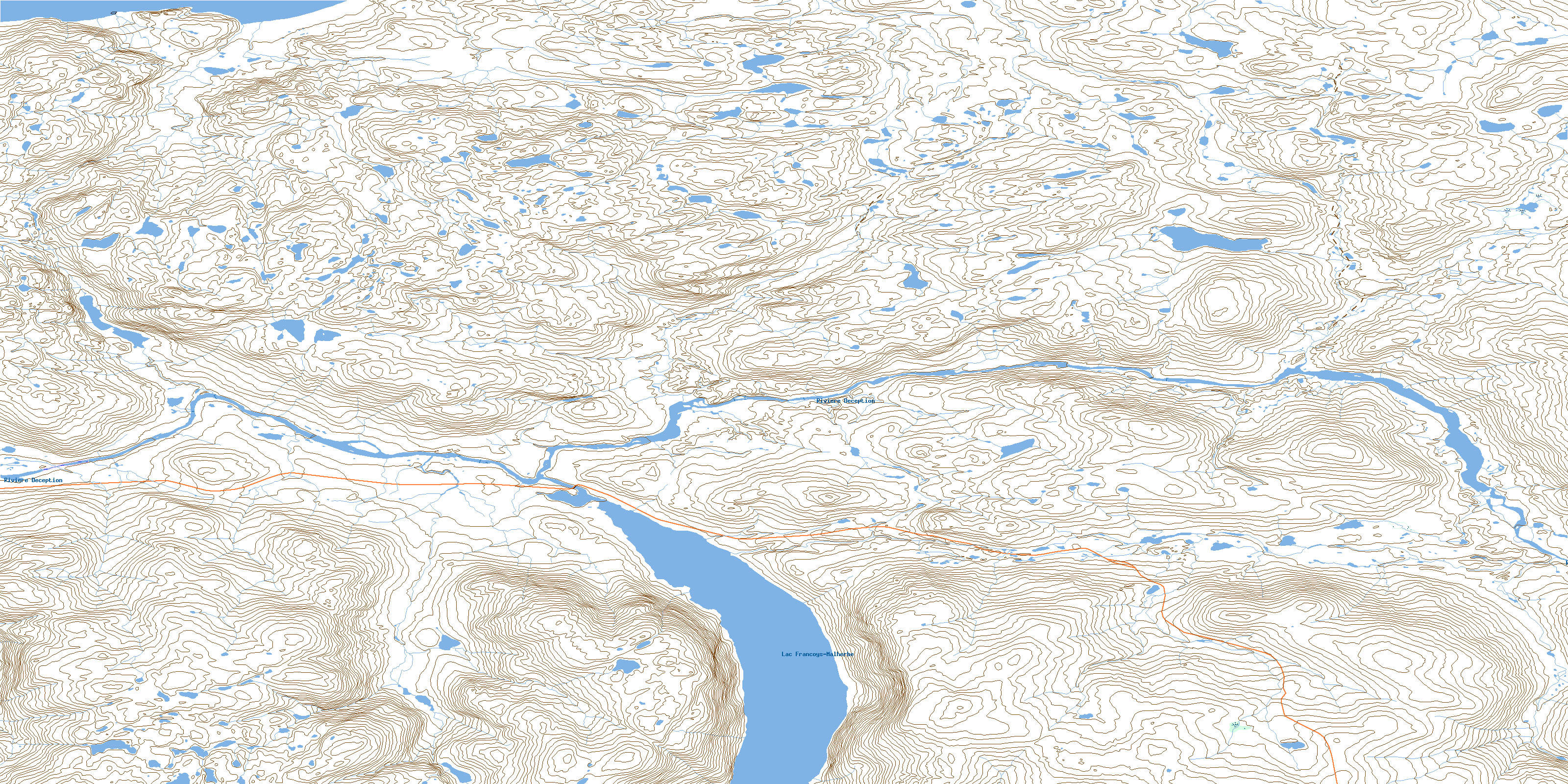
© Department of Natural Resources Canada. All rights reserved.
