Cap La Lande Topo Map Online
Download Free Topo Map Sheet 035J06 at 1:50,000 scale
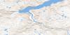
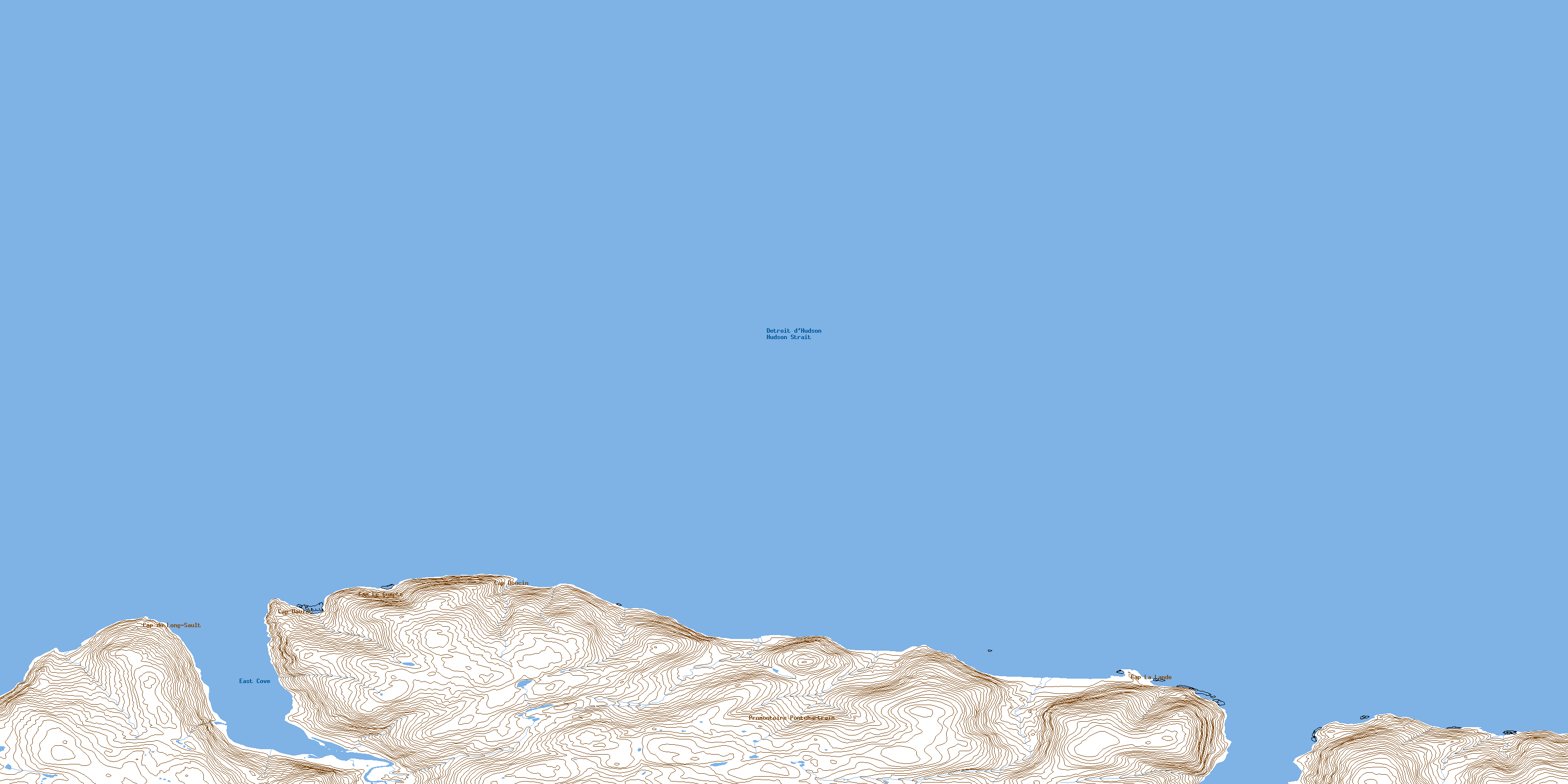
035J06 Cap La Lande Topo Map
To view this map, mouse over the map preview on the right.
You can also download this topo map for free:
035J06 Cap La Lande high-resolution topo map image.
Maps for the Cap La Lande topo map sheet 035J06 at 1:50,000 scale are also available in these versions:
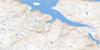
Cap La Lande Surrounding Area Topo Maps
 |
|||
 |
 |
 |
|
 |
 |
 |
 |
© Department of Natural Resources Canada. All rights reserved.
Cap La Lande Gazetteer
The following places can be found on topographic map sheet 035J06 Cap La Lande:
Cap La Lande Topo Map: Bays
Baie NanuttuvikBaie Ulujjuvik
East Cove
Cap La Lande Topo Map: Capes
Cap ArvingualaaqCap Daulat
Cap Doucin
Cap du Long Sault
Cap du Long-Sault
Cap La Lande
Cap Le Compte
Promontoire Maurepas
Promontoire Pontchartrain
© Department of Natural Resources Canada. All rights reserved.
