Cap Briard Topo Map Online
Download Free Topo Map Sheet 035J08 at 1:50,000 scale
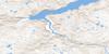
035J08 Cap Briard Topo Map
To view this map, mouse over the map preview on the right.
You can also download this topo map for free:
035J08 Cap Briard high-resolution topo map image.
Maps for the Cap Briard topo map sheet 035J08 at 1:50,000 scale are also available in these versions:
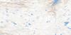
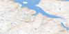
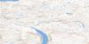
Cap Briard Surrounding Area Topo Maps
 |
|||
 |
 |
 |
|
 |
 |
 |
 |
© Department of Natural Resources Canada. All rights reserved.
Cap Briard Gazetteer
The following places can be found on topographic map sheet 035J08 Cap Briard:
Cap Briard Topo Map: Capes
Cap BriardCap Ennemond-Massé
Cap Niaqurnaq
Cap Qaummalaavik
Cap Briard Topo Map: Channels
Détroit d'HudsonCap Briard Topo Map: Cliffs
Falaise NaujakallaitCap Briard Topo Map: Islands
Îles Aivirtuajuk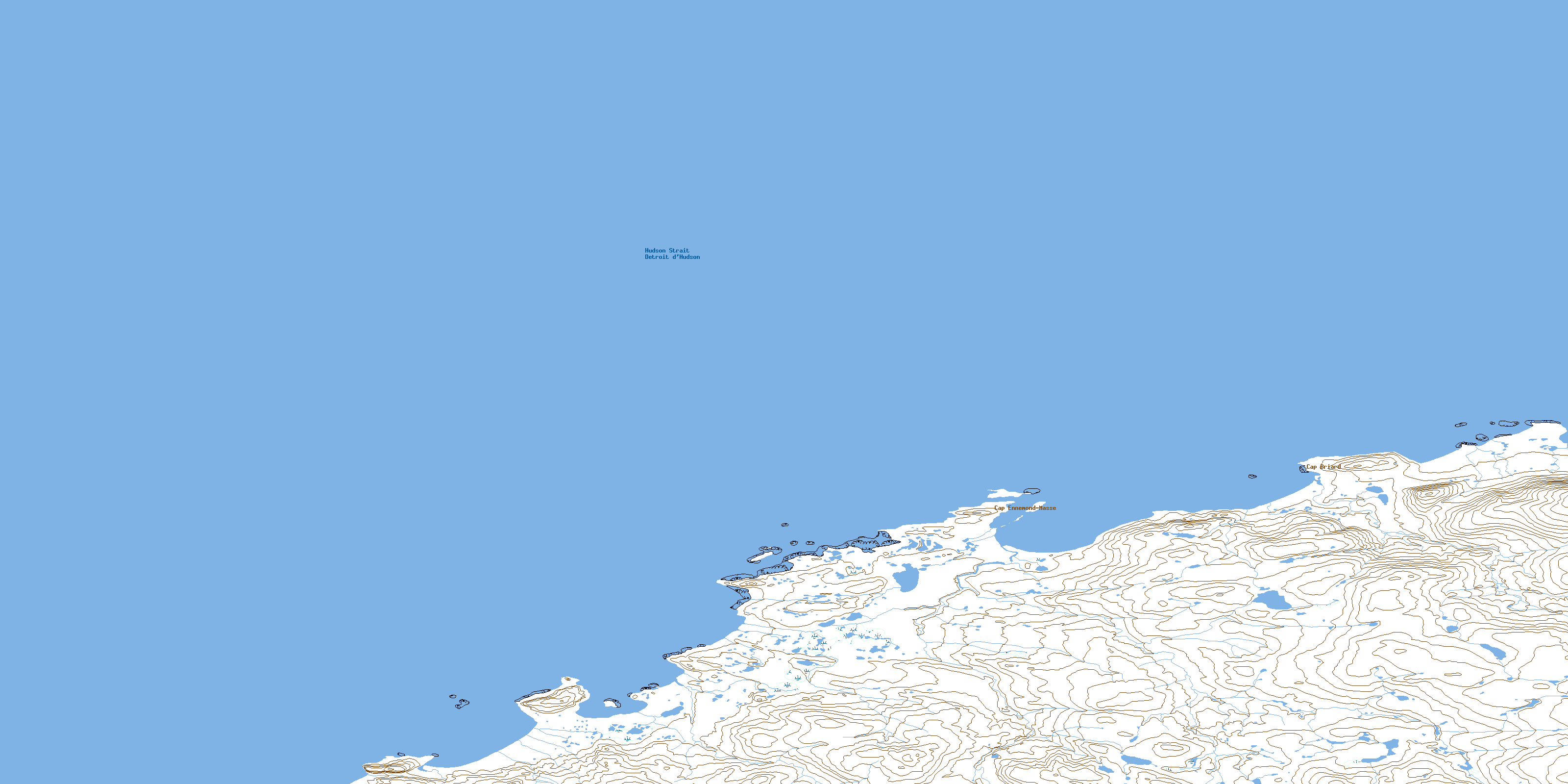
© Department of Natural Resources Canada. All rights reserved.
