Mountain Ash Lake Topo Map Online
Download Free Topo Map Sheet 041O03 at 1:50,000 scale
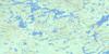
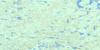
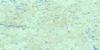
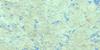
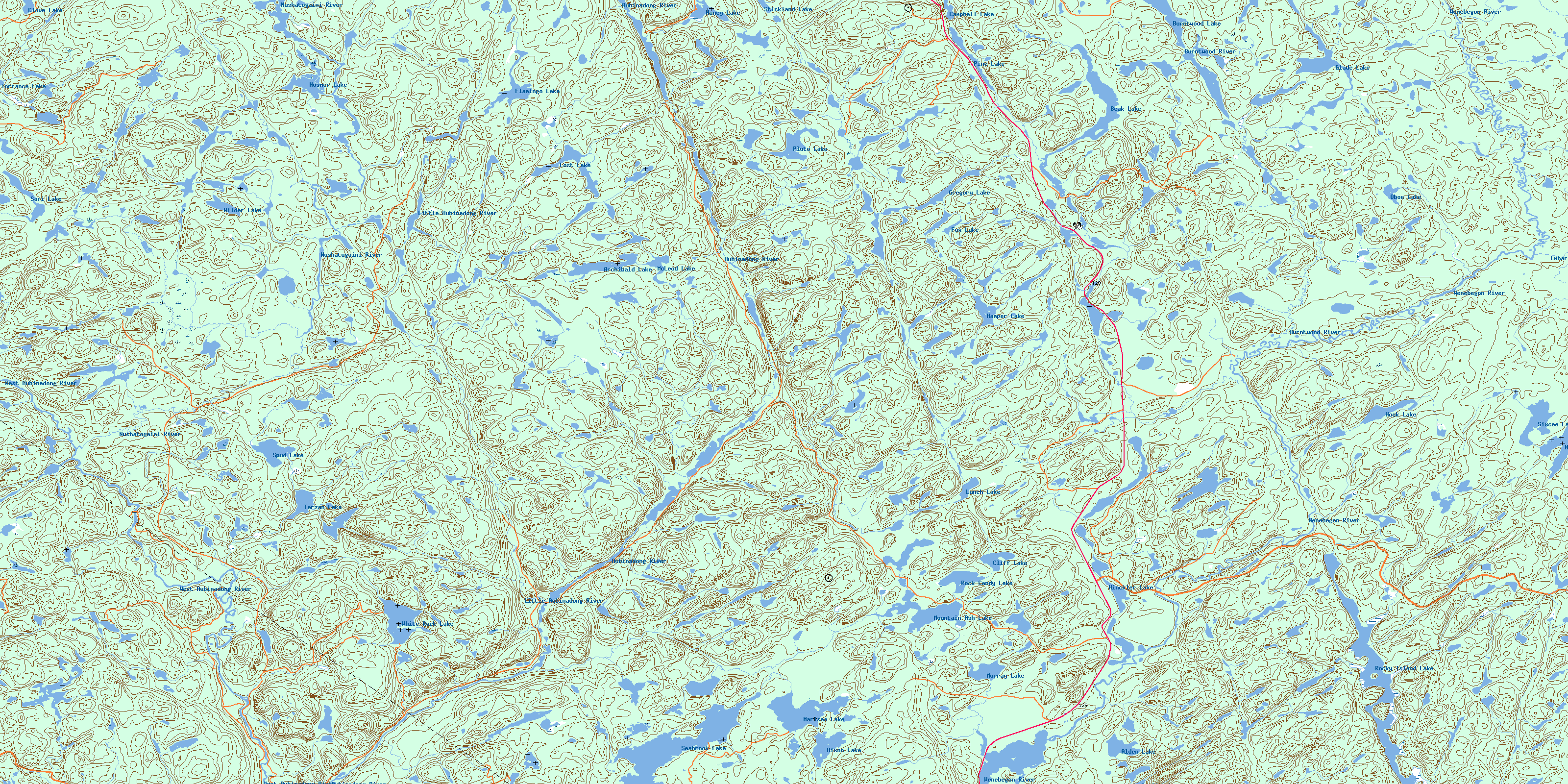
041O03 Mountain Ash Lake Topo Map
To view this map, mouse over the map preview on the right.
You can also download this topo map for free:
041O03 Mountain Ash Lake high-resolution topo map image.
Maps for the Mountain Ash Lake topo map sheet 041O03 at 1:50,000 scale are also available in these versions:
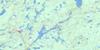
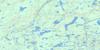
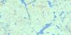
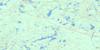
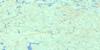
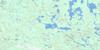
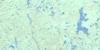
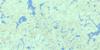
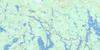
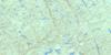
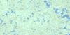
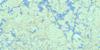
Mountain Ash Lake Surrounding Area Topo Maps
 |
 |
 |
 |
 |
 |
 |
 |
 |
 |
 |
 |
 |
 |
 |
 |
© Department of Natural Resources Canada. All rights reserved.
Mountain Ash Lake Gazetteer
The following places can be found on topographic map sheet 041O03 Mountain Ash Lake:
Mountain Ash Lake Topo Map: Bays
Seven Mile BayMountain Ash Lake Topo Map: Geographical areas
5C5D
5E
5F
5G
6C
6D
6E
6F
6G
7C
7D
7E
7F
7G
8C
8D
8E
8F
8G
Carruthers
Carton
Cassidy
Deans
Drea
Ewen
Ferrier
Foulds
Gaunt
Gilbertson
Handleman
Havrot
Jessiman
Lane
Laughren
Maeck
Martel
McIlveen
McNie
Meen
Sudbury
Mountain Ash Lake Topo Map: Lakes
Alden LakeArchibald Lake
Beak Lake
Burntwood Lake
Campbell Lake
Cliff Lake
Clove Lake
Doull Lake
Flamingo Lake
Fox Lake
Glade Lake
Gregory Lake
Hamper Lake
Hinckler Lake
Hixon Lake
Honey Lake
Hook Lake
Hosmer Lake
Lost Lake
Lunch Lake
Marisea Lake
McLeod Lake
Mountain Ash Lake
Murray Lake
North Maskuti Lake
Oboe Lake
Pine Lake
Pluto Lake
Rock Candy Lake
Rocky Island Lake
Sari Lake
Seabrook Lake
Sixcee Lake
Spud Lake
Stickland Lake
Tarzan Lake
Torrance Lake
White Rock Lake
Wilder Lake
Mountain Ash Lake Topo Map: Conservation areas
Aubinadong River Provincial ParkAubrey Falls Provincial Park
Mountain Ash Lake Topo Map: Rivers
Aubinadong RiverBurntwood River
Embarass River
Firetrail Creek
Gong Creek
Hamper Creek
Hinckler Creek
Hixon Creek
Honey Creek
Little Aubinadong River
Mountain Ash Creek
Nushatogaini River
Peshu Creek
Rouelle Creek
Seabrook Creek
Wenebegon River
West Aubinadong River
White Rock Creek
© Department of Natural Resources Canada. All rights reserved.
041O Related Maps:
041O Chapleau041O01 Indian Lake
041O02 White Owl Lake
041O03 Mountain Ash Lake
041O04 Welcome Lake
041O05 Bulley Lake
041O06 Wenebegon Lake
041O07 Wakami Lake
041O08 Biscotasing
041O09 Opeepeesway Lake
041O10 Sultan
041O11 Nemegos
041O12 Graveyard Lake
041O13 Nicholson
041O14 Chapleau
041O15 Rollo Lake
041O16 Rush Lake
