Twopeak Lake Topo Map Online
Download Free Topo Map Sheet 042H08 at 1:50,000 scale
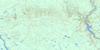
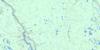
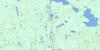
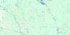
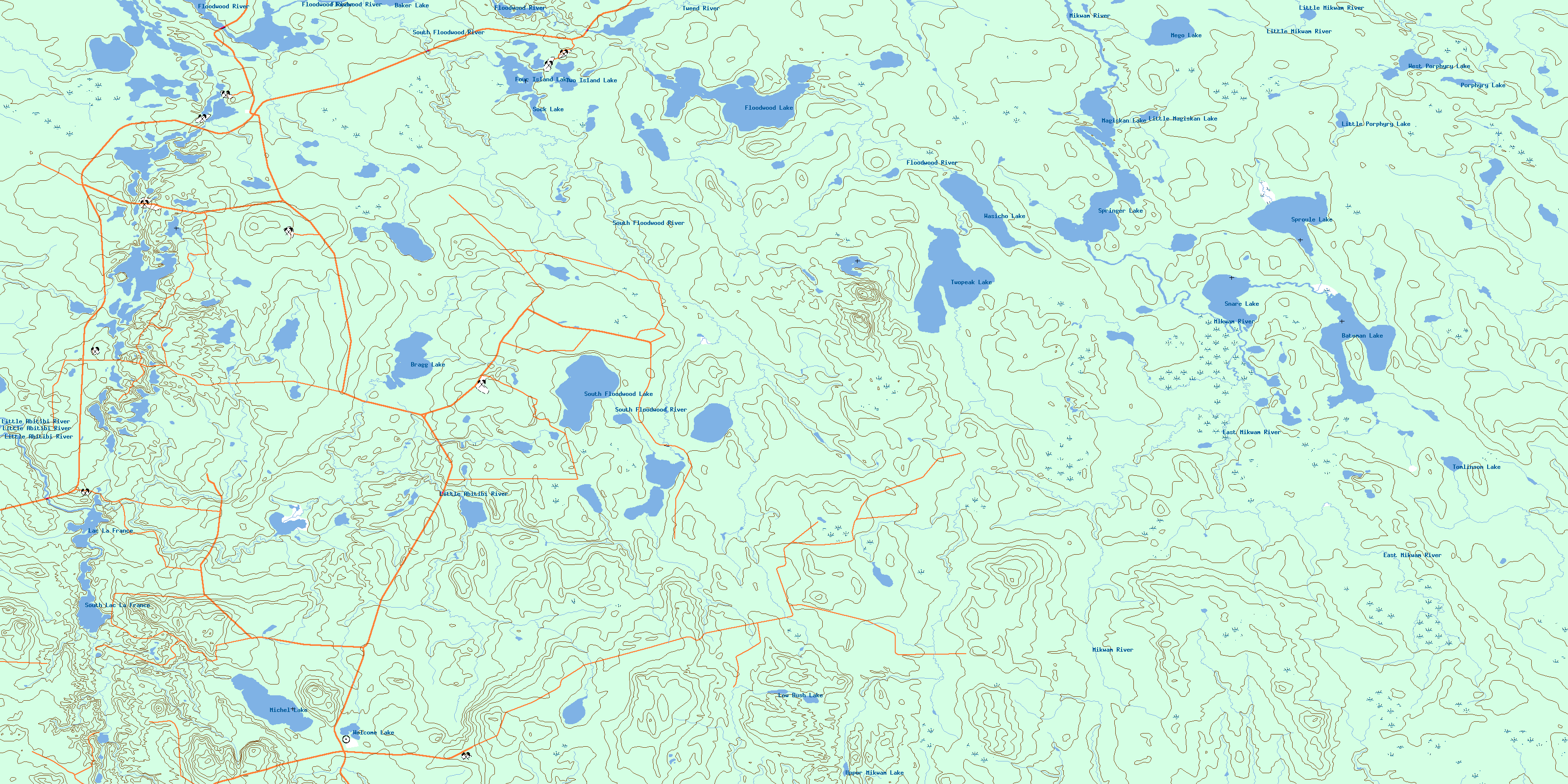
042H08 Twopeak Lake Topo Map
To view this map, mouse over the map preview on the right.
You can also download this topo map for free:
042H08 Twopeak Lake high-resolution topo map image.
Maps for the Twopeak Lake topo map sheet 042H08 at 1:50,000 scale are also available in these versions:
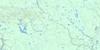
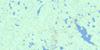
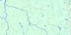
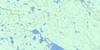
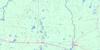
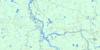
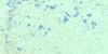
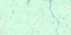
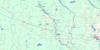
Twopeak Lake Surrounding Area Topo Maps
 |
 |
 |
 |
 |
 |
 |
 |
 |
 |
 |
 |
 |
 |
 |
 |
© Department of Natural Resources Canada. All rights reserved.
Twopeak Lake Gazetteer
The following places can be found on topographic map sheet 042H08 Twopeak Lake:
Twopeak Lake Topo Map: Geographical areas
BlakelockBragg
Heighington
Hoblitzell
Kenning
McQuibban
Newman
Raven
Sangster
Seguin
Tomlinson
Tweed
Twopeak Lake Topo Map: Lakes
Baker LakeBateman Lake
Bragg Lake
Floodwood Lake
Four Island Lake
Lac La France
Little Magiskan Lake
Little Porphyry Lake
Low Bush Lake
Magiskan Lake
Mego Lake
Michel Lake
Porphyry Lake
Snare Lake
Sock Lake
South Floodwood Lake
South Lac La France
Springer Lake
Sproule Lake
Tomlinson Lake
Two Island Lake
Twopeak Lake
Upper Mikwam Lake
Wasicho Lake
Welcome Lake
West Porphyry Lake
Twopeak Lake Topo Map: Rivers
Bragg CreekEast Mikwam River
Floodwood River
Little Abitibi River
Little Mikwam River
Little Porphyry Creek
Low Bush River
Michel Creek
Mikwam River
Porphyry Creek
South Floodwood River
Tomlinson Creek
Tweed River
© Department of Natural Resources Canada. All rights reserved.
042H Related Maps:
042H Cochrane042H01 Mistango Lake
042H02 Abitibi
042H03 Cochrane
042H04 Bradburn Lake
042H05 Smooth Rock Falls
042H06 Gardiner
042H07 Little Abitibi Lake
042H08 Twopeak Lake
042H09 North Burntbush Lake
042H10 Montreuil Lake
042H11 Island Falls
042H12 Abimatinu River
042H13 Fraserdale
042H14 Takwata Lake
042H15 Tomorrow Lake
042H16 Lawagamau Lake
