Abimatinu River Topo Map Online
Download Free Topo Map Sheet 042H12 at 1:50,000 scale
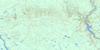
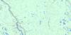
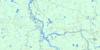
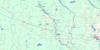
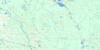
042H12 Abimatinu River Topo Map
To view this map, mouse over the map preview on the right.
You can also download this topo map for free:
042H12 Abimatinu River high-resolution topo map image.
Maps for the Abimatinu River topo map sheet 042H12 at 1:50,000 scale are also available in these versions:
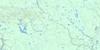
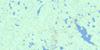
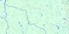
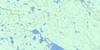
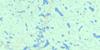
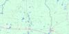
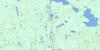
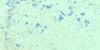
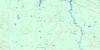
Abimatinu River Surrounding Area Topo Maps
 |
 |
 |
 |
 |
 |
 |
 |
 |
 |
 |
 |
 |
 |
 |
 |
© Department of Natural Resources Canada. All rights reserved.
Abimatinu River Gazetteer
The following places can be found on topographic map sheet 042H12 Abimatinu River:
Abimatinu River Topo Map: Falls
Cypress FallsWhist Falls
Abimatinu River Topo Map: Geographical areas
AdanacAgate
Avon
Beardmore
Clay
Homuth
Hurdman
Marceau
Tucker
Abimatinu River Topo Map: Lakes
Abimatinu LakeAdanac Lake
Agate Lake
Beardmore Lake
Currie Lake
Durrel Lake
Homer Lake
Homuth Lake
Leblanc Lake
Newton Lake
Roman Lake
Abimatinu River Topo Map: Other municipal/district area - miscellaneous
Fauquier-StricklandShackleton and Machin
Abimatinu River Topo Map: Conservation areas
Fraserdale Wetland Complex Conservation ReserveAbimatinu River Topo Map: Rapids
Katikumabi RapidsLa Duke Rapids
Ledge Rapids
Poplar Rapids
Scar Rapids
Abimatinu River Topo Map: Rivers
Abimatinu RiverAdanac Creek
Agate Creek
Beardmore Creek
Brownrigg Creek
Currie Creek
Durrel Creek
Groundhog River
Hess Creek
Hurdman Creek
Lawson Creek
Marceau River
Mattagami River
Poolton Creek
Poplar Rapids River
Redsucker River
Rivière Groundhog
Rivière Mattagami
Rivière Poplar
Rivière Redsucker
Abimatinu River Topo Map: Road features
Katikumabi PortageAbimatinu River Topo Map: Unincorporated areas
Brownrigg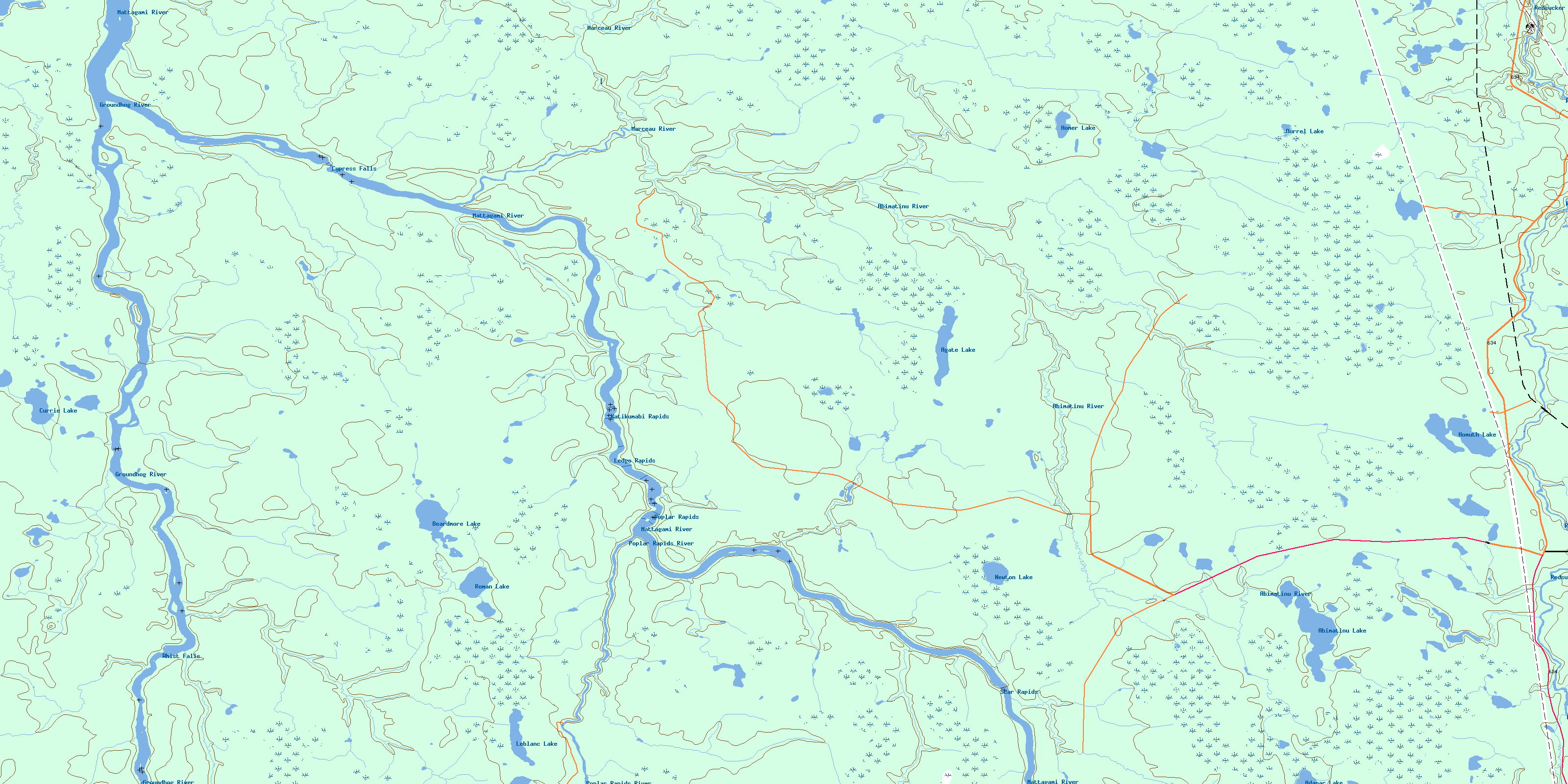
© Department of Natural Resources Canada. All rights reserved.
042H Related Maps:
042H Cochrane042H01 Mistango Lake
042H02 Abitibi
042H03 Cochrane
042H04 Bradburn Lake
042H05 Smooth Rock Falls
042H06 Gardiner
042H07 Little Abitibi Lake
042H08 Twopeak Lake
042H09 North Burntbush Lake
042H10 Montreuil Lake
042H11 Island Falls
042H12 Abimatinu River
042H13 Fraserdale
042H14 Takwata Lake
042H15 Tomorrow Lake
042H16 Lawagamau Lake
