Abitibi Topo Map Online
Download Free Topo Map Sheet 042H02 at 1:50,000 scale
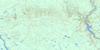
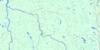
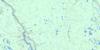
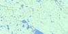
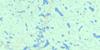
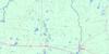
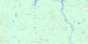
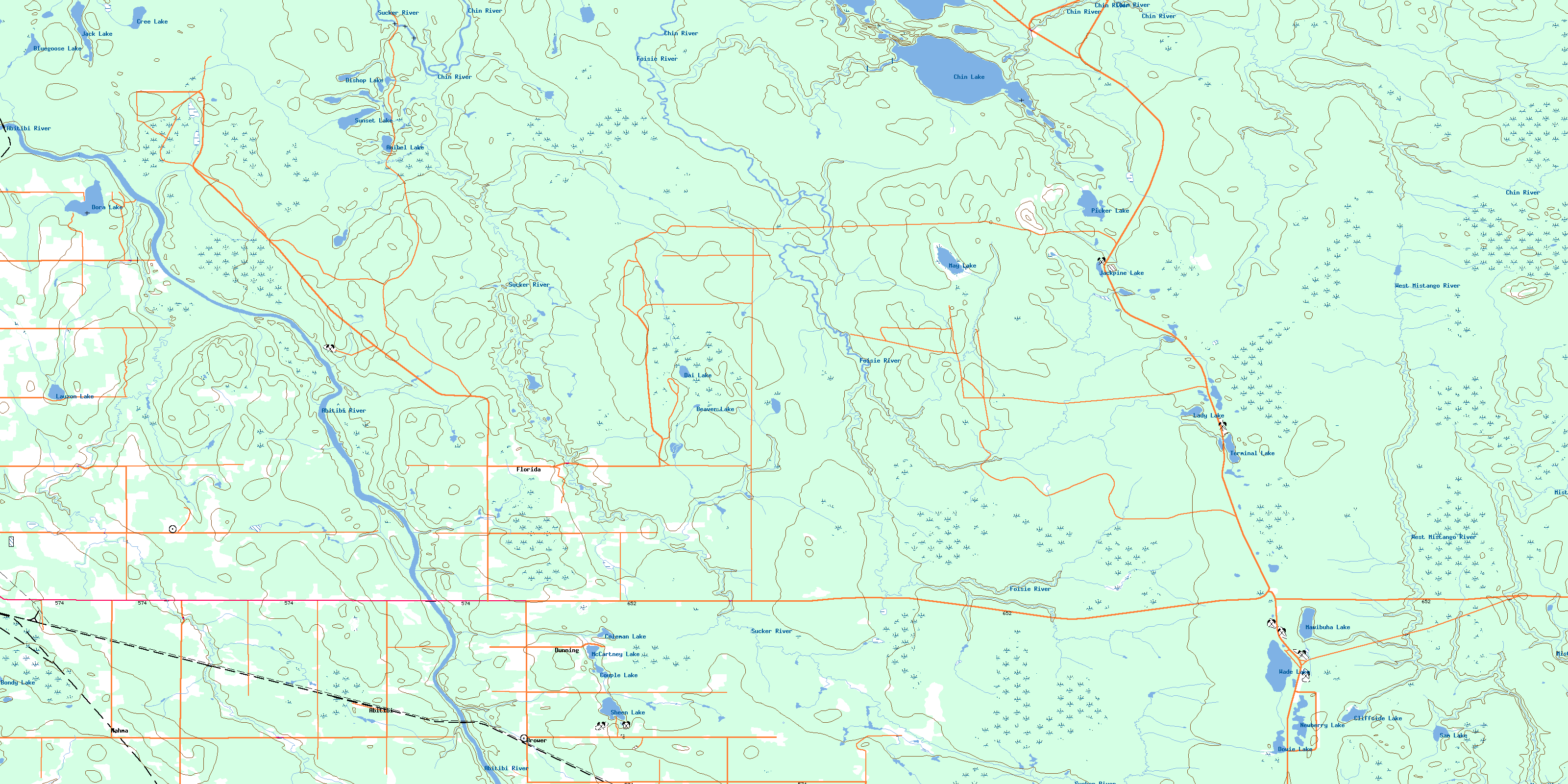
042H02 Abitibi Topo Map
To view this map, mouse over the map preview on the right.
You can also download this topo map for free:
042H02 Abitibi high-resolution topo map image.
Maps for the Abitibi topo map sheet 042H02 at 1:50,000 scale are also available in these versions:
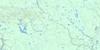
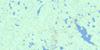
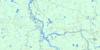
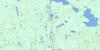
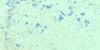
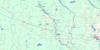
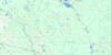
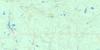
Abitibi Surrounding Area Topo Maps
 |
 |
 |
 |
 |
 |
 |
 |
 |
 |
 |
 |
 |
 |
 |
 |
© Department of Natural Resources Canada. All rights reserved.
Abitibi Gazetteer
The following places can be found on topographic map sheet 042H02 Abitibi:
Abitibi Topo Map: Geographical areas
BlountBrower
Dempsay
Fox
Glackmeyer
Heighington
Kennedy
Lamarche
Laughton
Stimson
Sweatman
Abitibi Topo Map: Indian Reserves
New Post 69ARéserve indienne New Post 69A
Abitibi Topo Map: Lakes
Anibel LakeBeaver Lake
Bishop Lake
Bluegoose Lake
Bondy Lake
Chin Lake
Cliffside Lake
Coleman Lake
Couple Lake
Cree Lake
Dai Lake
Dora Lake
Dowie Lake
Jack Lake
Jackpine Lake
Lady Lake
Lauzon Lake
Mawibuha Lake
May Lake
McCartney Lake
Newberry Lake
Picker Lake
Sam Lake
Sheen Lake
Sunset Lake
Terminal Lake
Wade Lake
Abitibi Topo Map: Other municipal/district area - miscellaneous
GlackmeyerAbitibi Topo Map: Rivers
Abitibi RiverBrower Creek
Chin River
Cliffside Creek
Dempsay Creek
Dora Creek
Foisie River
Heighington Creek
May Creek
Mistango River
Munroe Creek
Paton Creek
Ripple Creek
Rivière Abitibi
Roy Creek
Sam Creek
Sucker River
Wally Creek
West Mistango River
Wright Creek
Abitibi Topo Map: Towns
CochraneAbitibi Topo Map: Unincorporated areas
AbitibiBrower
Dunning
Florida
Nahma
© Department of Natural Resources Canada. All rights reserved.
042H Related Maps:
042H Cochrane042H01 Mistango Lake
042H02 Abitibi
042H03 Cochrane
042H04 Bradburn Lake
042H05 Smooth Rock Falls
042H06 Gardiner
042H07 Little Abitibi Lake
042H08 Twopeak Lake
042H09 North Burntbush Lake
042H10 Montreuil Lake
042H11 Island Falls
042H12 Abimatinu River
042H13 Fraserdale
042H14 Takwata Lake
042H15 Tomorrow Lake
042H16 Lawagamau Lake
