Gardiner Topo Map Online
Download Free Topo Map Sheet 042H06 at 1:50,000 scale
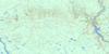
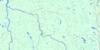
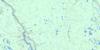
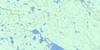
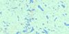
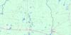
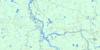
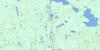
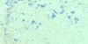
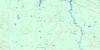
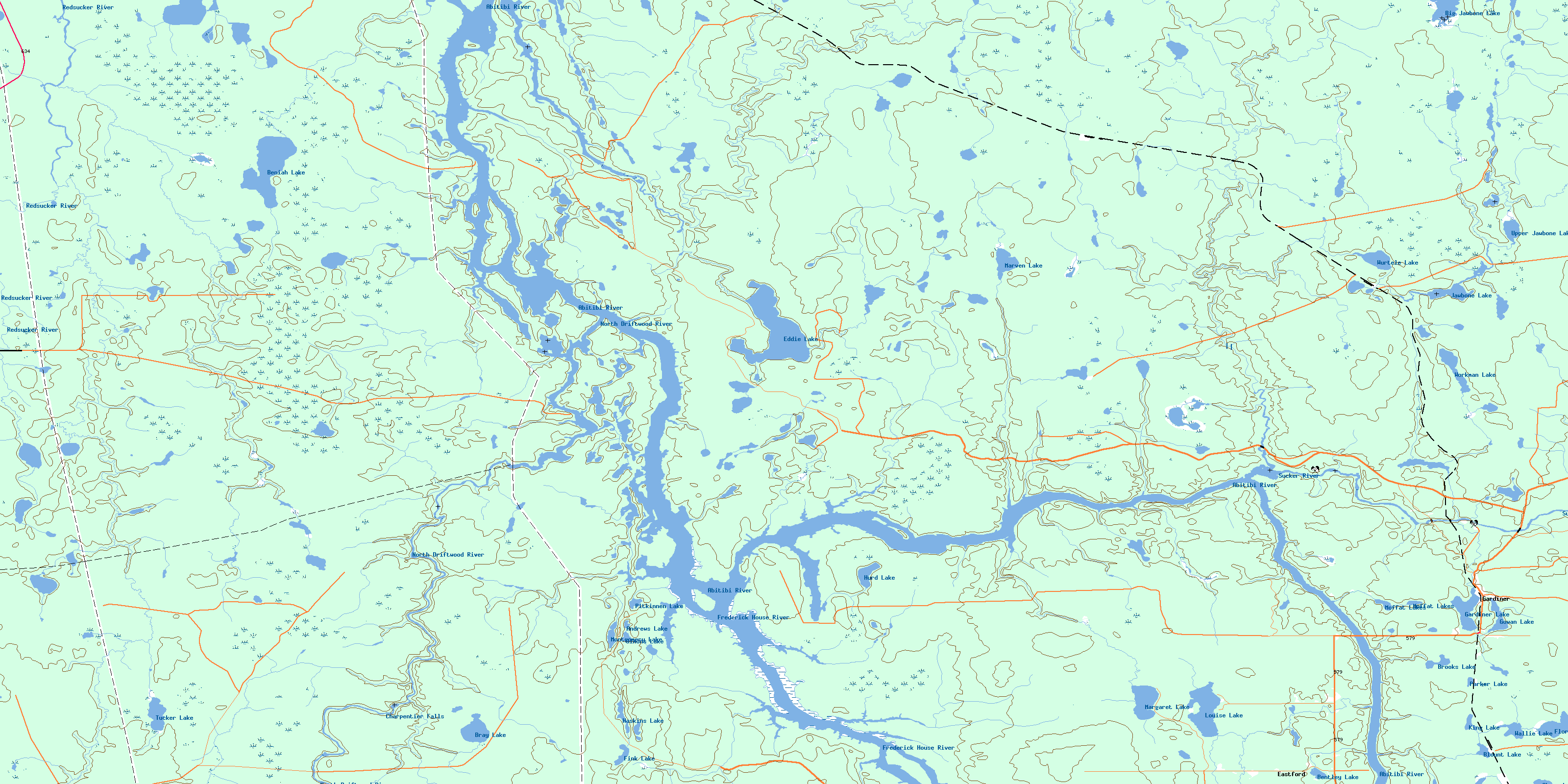
042H06 Gardiner Topo Map
To view this map, mouse over the map preview on the right.
You can also download this topo map for free:
042H06 Gardiner high-resolution topo map image.
Maps for the Gardiner topo map sheet 042H06 at 1:50,000 scale are also available in these versions:
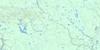
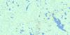
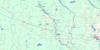
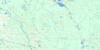
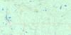
Gardiner Surrounding Area Topo Maps
 |
 |
 |
 |
 |
 |
 |
 |
 |
 |
 |
 |
 |
 |
 |
 |
© Department of Natural Resources Canada. All rights reserved.
Gardiner Gazetteer
The following places can be found on topographic map sheet 042H06 Gardiner:
Gardiner Topo Map: Bays
Fern's BayJack Creek
Gardiner Topo Map: Falls
Charpentier FallsGardiner Topo Map: Geographical areas
AdanacBeniah
Blount
Colquhoun
Inglis
Ireland
Kendrey
Leitch
Marven
Menapia
Thorning
Webster
Gardiner Topo Map: Lakes
Abams LakeAndrews Lake
Beniah Lake
Bentley Lake
Big Jawbone Lake
Blount Lake
Bray Lake
Brooks Lake
Eddie Lake
Fink Lake
Florence Lake
Gardiner Lake
Gowan Lake
Haskins Lake
Hurd Lake
Jawbone Lake
King Lake
Louise Lake
Margaret Lake
Marven Lake
Moffat Lakes
Montgomery Lake
Parker Lake
Pitkinnen Lake
Simons Lake
Tucker Lake
Upper Jawbone Lake
Wallie Lake
Workman Lake
Wurtele Lake
Gardiner Topo Map: Other municipal/district area - miscellaneous
GlackmeyerGardiner Topo Map: Conservation areas
Greenwater Provincial ParkNorth Driftwood Provincial Nature Reserve
North Driftwood River Provincial Nature Reserve
Gardiner Topo Map: Rivers
Abitibi RiverBeniah Creek
Brooks Creek
Cooper Creek
Cyprus Creek
Deception Creek
Dina Creek
East Jawbone Creek
Eastford Creek
Eddie Creek
Florence Creek
Frederick House River
Gardiner Creek
Gerloch Creek
Jawbone Creek
Maher Creek
Marter Creek
Marven Creek
Nina Creek
North Driftwood River
Parker Creek
Parsons Creek
Redsucker River
Rivière Abitibi
Rivière Redsucker
Sheriff Creek
Sucker River
Trappers Creek
Tributary Creek
Workman Creek
Gardiner Topo Map: Towns
CochraneSmooth Rock Falls
Gardiner Topo Map: Unincorporated areas
BlountEastford
Gardiner
Maher
Workman
Wurtele
© Department of Natural Resources Canada. All rights reserved.
042H Related Maps:
042H Cochrane042H01 Mistango Lake
042H02 Abitibi
042H03 Cochrane
042H04 Bradburn Lake
042H05 Smooth Rock Falls
042H06 Gardiner
042H07 Little Abitibi Lake
042H08 Twopeak Lake
042H09 North Burntbush Lake
042H10 Montreuil Lake
042H11 Island Falls
042H12 Abimatinu River
042H13 Fraserdale
042H14 Takwata Lake
042H15 Tomorrow Lake
042H16 Lawagamau Lake
