Mackar Inlet Topo Map Online
Download Free Topo Map Sheet 047B07 at 1:50,000 scale
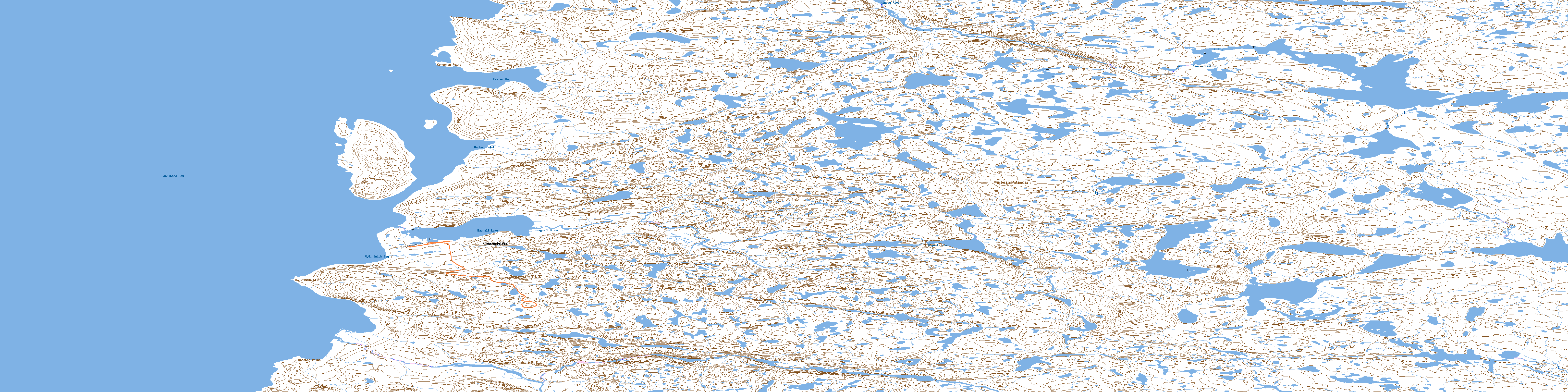
047B07 Mackar Inlet Topo Map
To view this map, mouse over the map preview on the right.
You can also download this topo map for free:
047B07 Mackar Inlet high-resolution topo map image.
Maps for the Mackar Inlet topo map sheet 047B07 at 1:50,000 scale are also available in these versions:
Mackar Inlet Surrounding Area Topo Maps
 |
 |
||
 |
 |
 |
|
 |
 |
 |
 |
 |
 |
 |
 |
© Department of Natural Resources Canada. All rights reserved.
Mackar Inlet Gazetteer
The following places can be found on topographic map sheet 047B07 Mackar Inlet:
Mackar Inlet Topo Map: Bays
Committee BayFraser Bay
Mackar Inlet
W.G. Smith Bay
Mackar Inlet Topo Map: Capes
Barnston PointCape Sibbald
Corcoran Point
Mackar Inlet Topo Map: Islands
Glen IslandYeoman Island
Mackar Inlet Topo Map: Lakes
Bagnall LakeMackar Inlet Topo Map: Mountains
Prince Albert HillsMackar Inlet Topo Map: Rivers
Adamson RiverBagnall River
Mineau River
© Department of Natural Resources Canada. All rights reserved.
