Northwest Bay Topo Map Online
Download Free Topo Map Sheet 052C13 at 1:50,000 scale
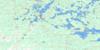
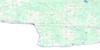
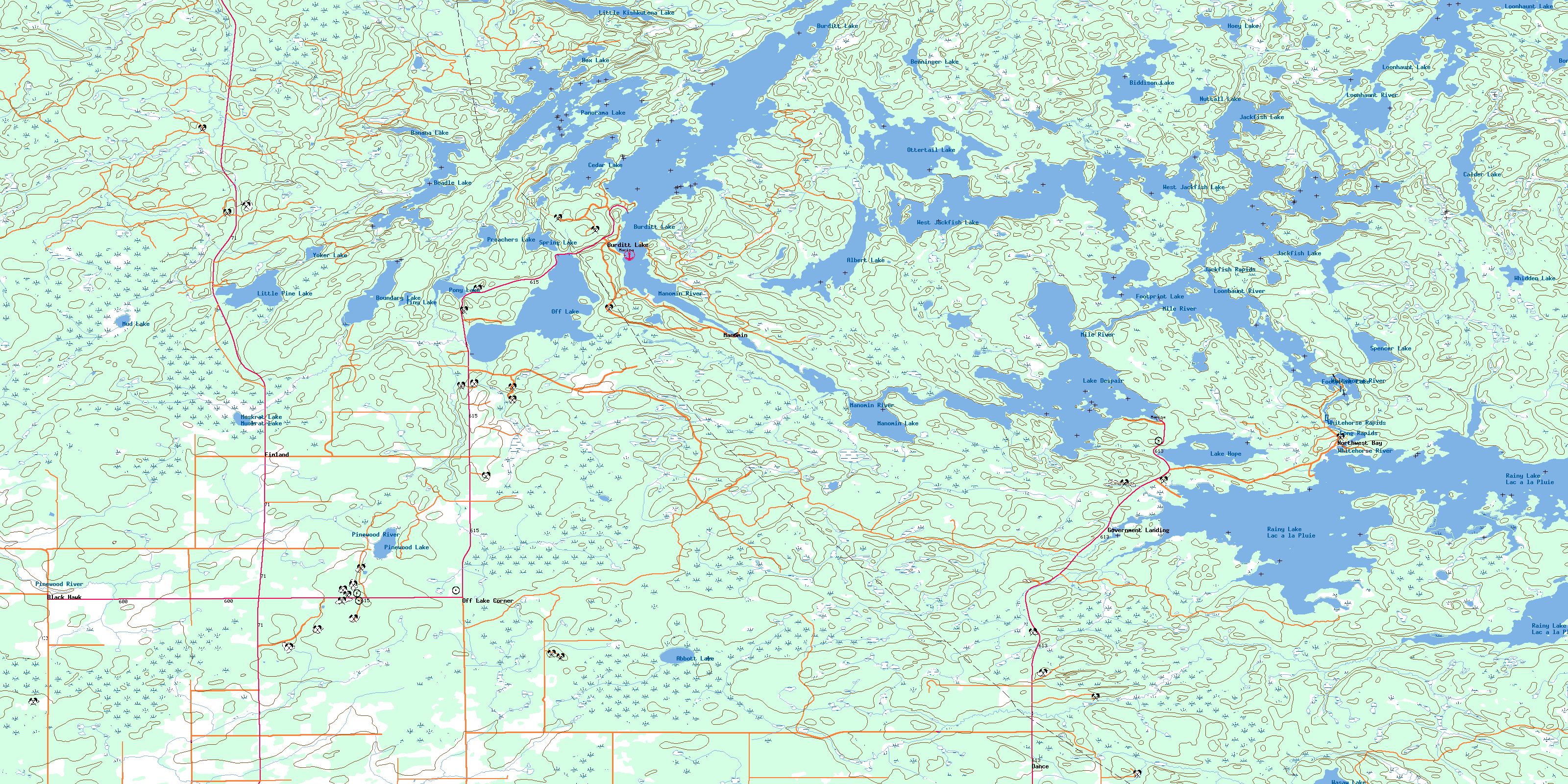
052C13 Northwest Bay Topo Map
To view this map, mouse over the map preview on the right.
You can also download this topo map for free:
052C13 Northwest Bay high-resolution topo map image.
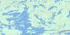
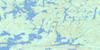
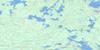
Maps for the Northwest Bay topo map sheet 052C13 at 1:50,000 scale are also available in these versions:
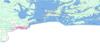
Northwest Bay Surrounding Area Topo Maps
 |
 |
 |
 |
 |
 |
 |
 |
 |
 |
||
© Department of Natural Resources Canada. All rights reserved.
Northwest Bay Gazetteer
The following places can be found on topographic map sheet 052C13 Northwest Bay:
Northwest Bay Topo Map: Bays
Burnt BayGill's Bay
Gloomy Cove
Halfway Inlet
Hansen's Bay
Kielczewski Bay
Lost Bay
Lyons Bay
Northwest Bay
Shaw Bay
South Bay
Sunny Cove
Whistle Bay
Northwest Bay Topo Map: Capes
Buckhorn PointGalbraith Point
Gusty Point
Monument Point
Poplar Point
Sand Point
Totem Point
Northwest Bay Topo Map: Channels
Black NarrowsBurnt Narrows
Squaw Narrows
West Jackfish Narrows
Northwest Bay Topo Map: Geographical areas
DanceFleming
Griesinger
Kingsford
Mather
Menary
Potts
Rainy River
Richardson
Rowe
Senn
Tait
Northwest Bay Topo Map: Indian Reserves
Rainy Lake 17ARainy Lake 17B
Rainy Lake Indian Reserve 17A
Rainy Lake Indian Reserve 17B
Réserve indienne Rainy Lake 17A
Réserve indienne Rainy Lake 17B
Northwest Bay Topo Map: Islands
Allman's IslandMcRae's Island
Moore Island
Whoopy Island
Northwest Bay Topo Map: Lakes
Abbott LakeAlbert Lake
Banana Lake
Beadle Lake
Benninger Lake
Biddison Lake
Bone Lake
Boundary Lake
Box Lake
Burditt Lake
Calder Lake
Cedar Lake
Footprint Lake
Hoey Lake
Jackfish Lake
Jackfish Lake
Lac à la Pluie
Lake Despair
Lake Hope
Little Kishkutena Lake
Little Pine Lake
Loonhaunt Lake
Manomin Lake
Mud Lake
Muskrat Lake
Nuttall Lake
Off Lake
Ottertail Lake
Panorama Lake
Pinewood Lake
Pony Lake
Potts Lake
Preachers Lake
Preachers Lake
Rainy Lake
Spencer Lake
Spring Lake
Tiny Lake
Wasaw Lake
West Jackfish Lake
Whidden Lake
Yoker Lake
Northwest Bay Topo Map: Other municipal/district area - miscellaneous
ChappleKingsford
Northwest Bay Topo Map: Rapids
Jackfish RapidsLong Rapids
Whitehorse Rapids
Northwest Bay Topo Map: Rivers
Biddison CreekBremner Creek
Christie Creek
Crazy Jack Creek
Footprint River
Log Creek
Loonhaunt River
Lost Creek
Manomin River
Mile River
Pinewood River
Stamp Creek
Sturgeon Creek
Wasaw Creek
Whitehorse River
Northwest Bay Topo Map: Road features
Albert Lake PortageFootprint Portage
Hope Portage
Loon Portage
Northwest Portage
Ottertail Portage
Northwest Bay Topo Map: Unincorporated areas
Black HawkBurditt Lake
Dance
Finland
Government Landing
Manomin
Northwest Bay
Off Lake Corner
© Department of Natural Resources Canada. All rights reserved.
