Fort Frances Topo Map Online
Download Free Topo Map Sheet 052C11 at 1:50,000 scale
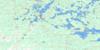
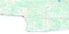
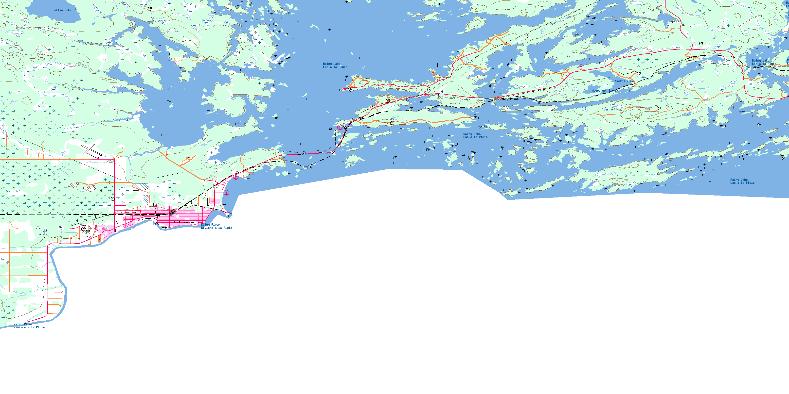
052C11 Fort Frances Topo Map
To view this map, mouse over the map preview on the right.
You can also download this topo map for free:
052C11 Fort Frances high-resolution topo map image.
Maps for the Fort Frances topo map sheet 052C11 at 1:50,000 scale are also available in these versions:
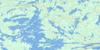
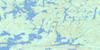
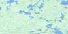
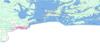
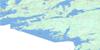
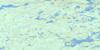
Fort Frances Surrounding Area Topo Maps
 |
 |
 |
 |
 |
 |
 |
 |
 |
 |
||
© Department of Natural Resources Canada. All rights reserved.
Fort Frances Gazetteer
The following places can be found on topographic map sheet 052C11 Fort Frances:
Fort Frances Topo Map: Bays
Blind BayBoot Bay
Breeze Bay
Commissioners Bay
Duck Bay
Grassy Narrows Bay
Grassy Portage Bay
Haymarsh Bay
Hopkins Bay
Joint Bay
Millers Bay
Moran's Bay
Prospect Bay
Redgut Bay
Rice Bay
Rice Bay
Rocky Islet Bay
Sand Bay
Shoe Bay
Stanjikoming Bay
Swell Bay
Traverse Inlet
Waikwayigum Bay
Wasaw Bay
Fort Frances Topo Map: Capes
Back PointBlack Point
Blaze Point
Gash Point
Haymarsh Bay Point
Nishkongdaigong Point
Pine Point
Pithers Point
Pound Net Point
Pukamo Point
Reef Point
Sand Point
Smith's Point
Squall Point
Windy Point
Fort Frances Topo Map: Channels
American NarrowsBear Passage
Bears Passage
Canadian Narrows
Goose Channel
Little Rocky Narrows
Little Rocky Narrows
Northeast Narrows
Pine Narrows
Rocky Narrows
Water Narrows
Fort Frances Topo Map: Falls
Koochiching FallsFort Frances Topo Map: Geographical areas
CrozierGriesinger
Halkirk
McIrvine
Miscampbell
Rainy River
Roddick
Watten
Fort Frances Topo Map: Indian Reserves
Agency 1Agency Indian Reserve 1
Couchiching 16A
Couchiching Indian Reserve 16A
Rainy Lake 18C
Rainy Lake Indian Reserve 18C
Réserve indienne Agency 1
Réserve indienne Couchiching 16A
Réserve indienne Rainy Lake 18C
Fort Frances Topo Map: Islands
Angling IslandArmot Island
Bare Island
Belle Island
Ben Island
Berry Island
Beverley Island
Black Island
Black Island
Black Island
Busy Island
Campfire Island
Chickadee Island
Copenhagen Island
Crane Island
Crowe Island
Diablo Island
Dinsmore Island
Duck Island
Dude Island
Echo Island
Egg Island
Erma Island
Ettric Isle
French Island
Gillian Island
Goose Island
Green Island
Gross Island
Gull Islands
Harbour Islands
Home Island
Homestretch Island
Hook Island
Jean Island
John Island
Keating Island
Knuckle Island
Last Island
Lichen Island
Lobstick Island
Marsh Island
McKelvie Island
Memento Island
Mermaid Rock
Midway Island
Morton Island
Noden Island
Noon Island
Nowhere Island
Pine Island
Polkadot Island
Pot Island
Pukamo Island
Raspberry Island
Red Pine Island
Rest Island
Risky Island
Sandpoint Island
Scott Island
Scott Island
Steeprock Island
Strawberry Island
Sunday Island
Turtle Island
Venture Island
Wauwaeyaush Island
Wessale Island
Fort Frances Topo Map: Lakes
Boffin LakeLac à la Pluie
Moosehorn Lake
Nickel Lake
Pocket Pond
Rainy Lake
Fort Frances Topo Map: Other municipal/district area - miscellaneous
AlbertonMcIrvine
Fort Frances Topo Map: Conservation areas
Rainy Lake Islands Conservation ReserveRanger North Conservation Reserve
Sandpoint Island Provincial Park
Fort Frances Topo Map: Rivers
Big CreekBlueberry Creek
Frog Creek
Nickel Creek
Rainy River
Rivière à la Pluie
Wasaw Creek
Fort Frances Topo Map: Road features
Goose PortageGrassy Portage
Rocky Portage
Fort Frances Topo Map: Shoals
Barb RockCapstan Reef
Gash Point Reef
Gash Rock
Pine Rocks
Split Rock Shoal
Whale Rock
Fort Frances Topo Map: Towns
Fort FrancesFort Frances Topo Map: Unincorporated areas
Duluth JunctionNickel Lake
Rainy Lake
Rocky Inlet
Seibert
Sims
Windy Point
© Department of Natural Resources Canada. All rights reserved.
