Mainville Lake Topo Map Online
Download Free Topo Map Sheet 052C14 at 1:50,000 scale
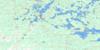
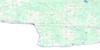
052C14 Mainville Lake Topo Map
To view this map, mouse over the map preview on the right.
You can also download this topo map for free:
052C14 Mainville Lake high-resolution topo map image.
Maps for the Mainville Lake topo map sheet 052C14 at 1:50,000 scale are also available in these versions:
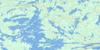
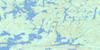
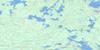
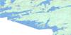
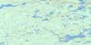
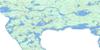
Mainville Lake Surrounding Area Topo Maps
 |
 |
 |
 |
 |
 |
 |
 |
 |
 |
||
© Department of Natural Resources Canada. All rights reserved.
Mainville Lake Gazetteer
The following places can be found on topographic map sheet 052C14 Mainville Lake:
Mainville Lake Topo Map: Bays
Alexandria BayAsh Bay
Baseline Bay
Black Sturgeon Bay
Browns Inlet
Crowrock Inlet
Cyr's Bay
Deer Bay
Grassy Narrows Bay
Halfway Inlet
Henderson Bay
Hopkins Bay
Horseshoe Bay
Macdonald Inlet
Macdonald's Inlet
Manitou Sound
Moose Bay
Northeast Bay
Otter Bay
Paddy Bay
Rat Root Bay
Sears Bay
Shelter Bay
Mainville Lake Topo Map: Capes
Ami PointBirch Point
Blaze Point
Cameron Point
Cape Horn
Chamberlain Point
Cub Point
Cyr's Point
Famine Point
French Point
Gubé Point
Hangingstone Point
Point Alfred
Standingstone Point
Tug Point
Mainville Lake Topo Map: Channels
Ash NarrowsBeery Narrows
Camp Narrows
Cliff Narrows
Crooked Narrows
Swede Narrows
Mainville Lake Topo Map: Falls
Devils CascadeMainville Lake Topo Map: Geographical areas
GriesingerRainy River
Watten
Mainville Lake Topo Map: Islands
Amer IslandArgyle Island
Baker Island
Birch Island
Boom Island
Boreas Island
Cape Horn Island
Cheery Island
Cherry Island
Cow Island
Crest Island
Crow Island
Deer Island
Dragonfly Island
Fish Island
Goat Island
Greyhound Island
GullIsland
Haymarsh Island
Highrock Island
Hogsback Island
Hook Island
Hostess Island
Little Woodchuck Island
Lonetree Island
McKelvie Island
Narrow Island
Palmer Island
Partridge Island
Pillsbury Island
Pitcairn Island
Rebecca Island
Shelter Island
Shelter Islands
Three Sisters Islands
Turkey Island
View Island
Vikar Island
Waller Island
Woodchuck Island
Mainville Lake Topo Map: Lakes
Ash LakeBaldwin Lake
Big Sawbill Lake
Boffin Lake
Bone Lake
Clayton Lake
Cold Lake
Cuttle Lake
Grimshaw Lake
Hickerson Lake
Kerr Lake
Kinnett Lake
Lac à la Pluie
Langstaff Lake
Little Sawbill Lake
Locking Lake
Mainville Lake
Maple Lake
McTaggart Lake
Obikoba Lake
Obin Lake
Oliver Lake
One Mile Lake
Pickwick Lake
Poulson Lake
Rainy Lake
Reeves Lake
Respite Lake
Schurg Lake
Sphene Lake
Strong Lake
Sugar Lake
Tompkins Lake
Tupman Lake
Vane Lake
Wegg Lake
Weller Lake
Mainville Lake Topo Map: Conservation areas
Brown's Inlet Conservation ReserveMainville Lake Topo Map: Rivers
Big Canoe RiverLittle Canoe Creek
Little Canoe River
Manitou River
McTaggart Creek
Muskeg Creek
Tupman Creek
Mainville Lake Topo Map: Road features
Frog PortageTin Can Portage
Mainville Lake Topo Map: Shoals
Steamboat Shoal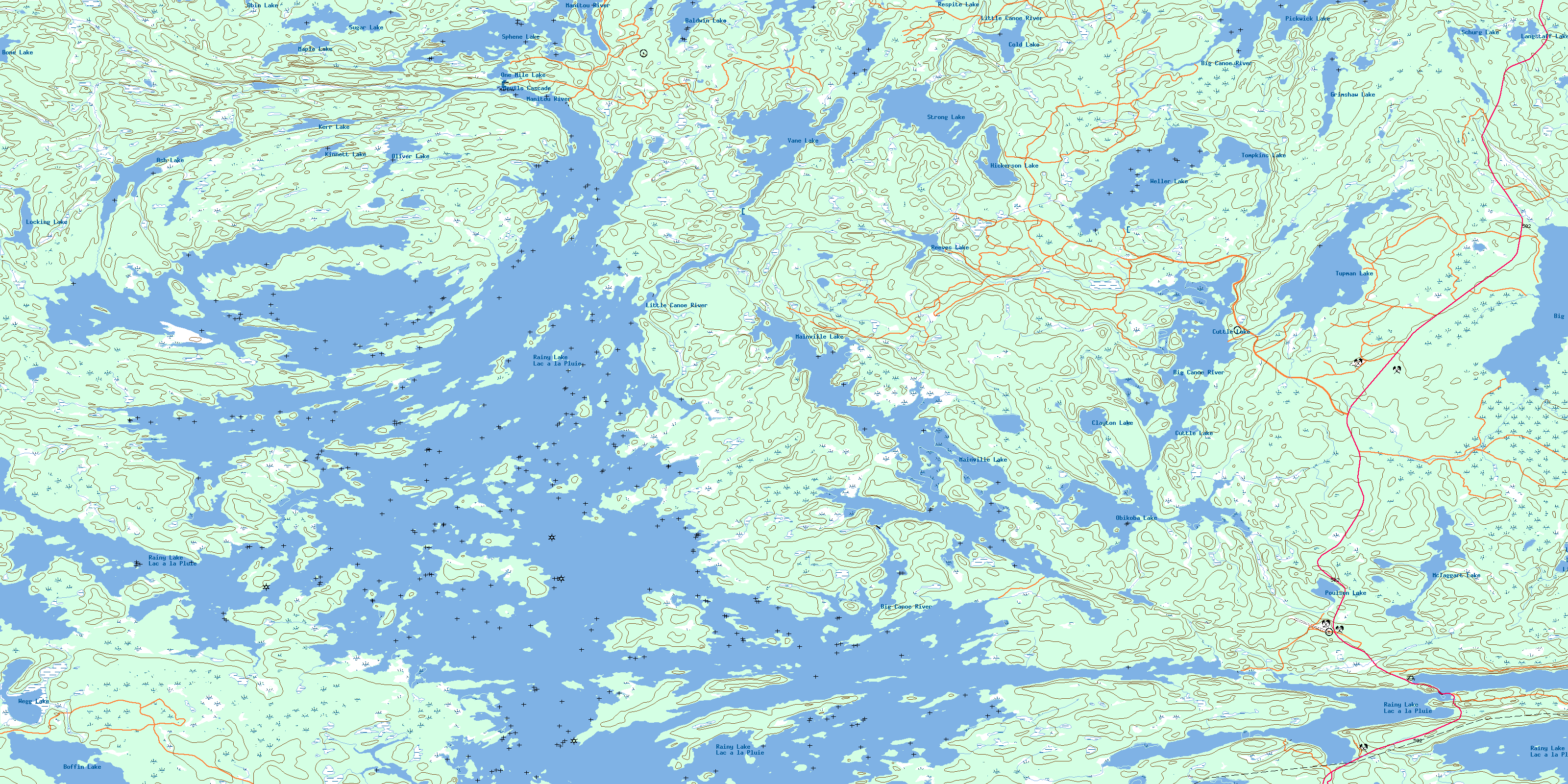
© Department of Natural Resources Canada. All rights reserved.
