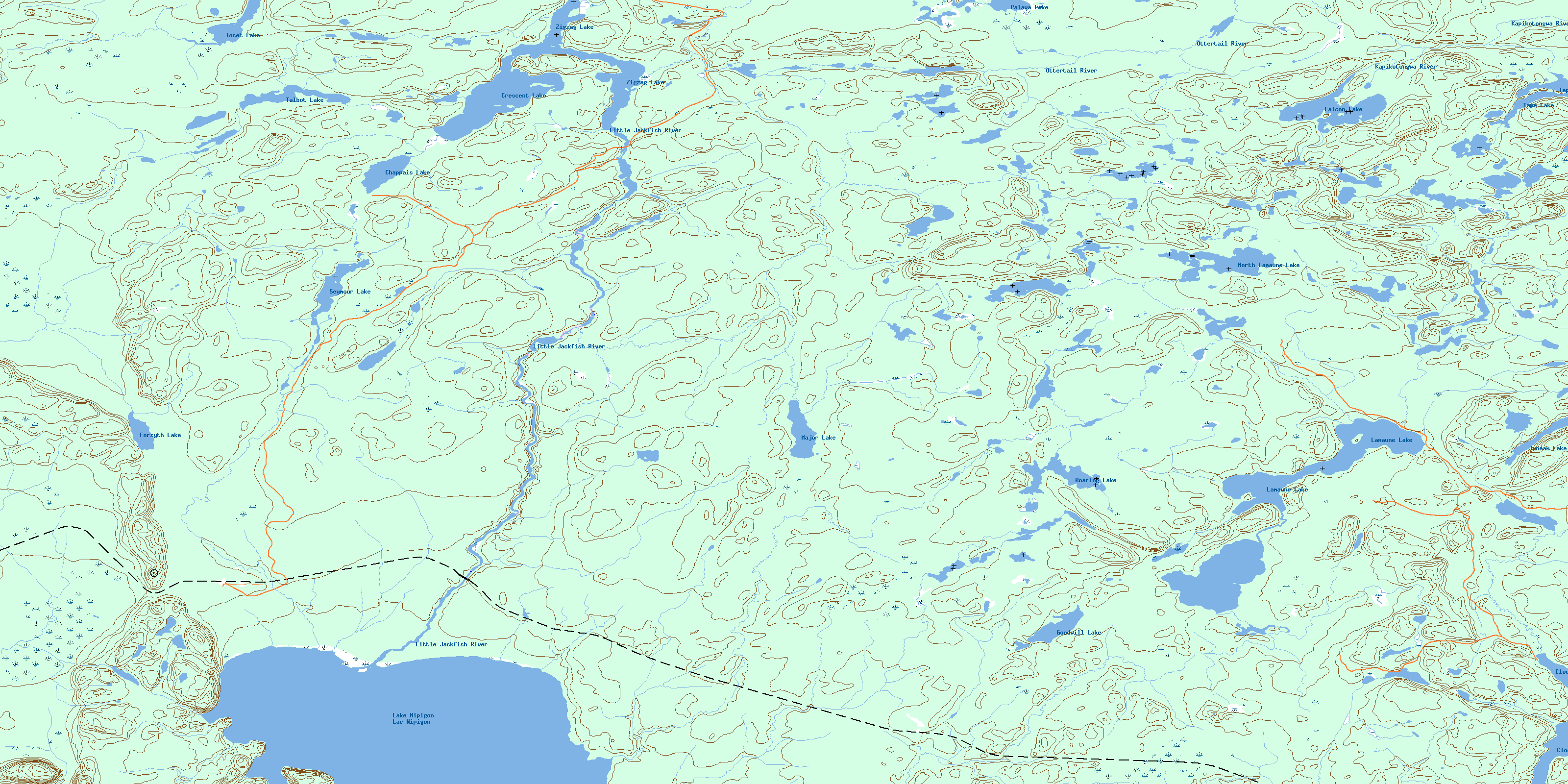
Little Jackfish River Topo Map Online
Download Free Topo Map Sheet 052I08 at 1:50,000 scale
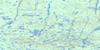
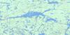
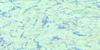
052I08 Little Jackfish River Topo Map
To view this map, mouse over the map preview on the right.
You can also download this topo map for free:
052I08 Little Jackfish River high-resolution topo map image.
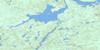
Maps for the Little Jackfish River topo map sheet 052I08 at 1:50,000 scale are also available in these versions:
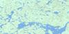
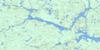
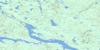
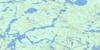
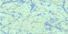
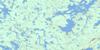
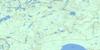
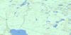
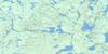
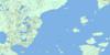
Little Jackfish River Surrounding Area Topo Maps
 |
 |
 |
 |
 |
 |
 |
 |
 |
 |
 |
 |
 |
 |
 |
 |
© Department of Natural Resources Canada. All rights reserved.
Little Jackfish River Gazetteer
The following places can be found on topographic map sheet 052I08 Little Jackfish River:
Little Jackfish River Topo Map: Bays
North Ombabika BayPost Bay
Little Jackfish River Topo Map: Capes
North PeninsulaLittle Jackfish River Topo Map: Lakes
Chappais LakeClod Lake
Crescent Lake
Falcon Lake
Forsyth Lake
Goodwill Lake
Juneau Lake
Lac Nipigon
Lake Nipigon
Lamaune Lake
Major Lake
North Lamaune Lake
Palava Lake
Return Lake
Roaring Lake
Seymour Lake
Talbot Lake
Tape Lake
Toset Lake
Zigzag Lake
Little Jackfish River Topo Map: Rivers
Forsyth CreekKapikotongwa River
Lamaune Creek
Little Jackfish River
Mackie Creek
Major Creek
Marten Creek
Minataree Creek
Ottertail River
Roaring Creek
Scoop Creek
Seymour Creek
Slant Creek
Little Jackfish River Topo Map: Unincorporated areas
FerlandLamaune
© Department of Natural Resources Canada. All rights reserved.
052I Related Maps:
052I Armstrong052I01 Ombabika Bay
052I02 Castle Lake
052I03 Wigwasan Lake
052I04 Aldridge Lake
052I05 Onamakawash Lake
052I06 Armstrong
052I07 Pikitigushi Lake
052I08 Little Jackfish River
052I09 Mojikit Lake
052I10 Linklater Lake
052I11 Goldsborough Lake
052I12 Wabakimi Lake
052I13 Burntrock Lake
052I14 Grayson Lake
052I15 Whiteclay Lake
052I16 D'Orsonnens Lake
