Castle Lake Topo Map Online
Download Free Topo Map Sheet 052I02 at 1:50,000 scale
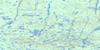
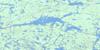
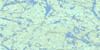
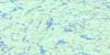
052I02 Castle Lake Topo Map
To view this map, mouse over the map preview on the right.
You can also download this topo map for free:
052I02 Castle Lake high-resolution topo map image.
Maps for the Castle Lake topo map sheet 052I02 at 1:50,000 scale are also available in these versions:
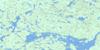
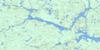
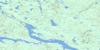
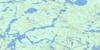
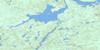
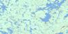
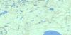
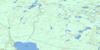
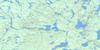
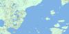
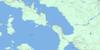
Castle Lake Surrounding Area Topo Maps
 |
 |
 |
 |
 |
 |
 |
 |
 |
 |
 |
 |
 |
 |
 |
 |
© Department of Natural Resources Canada. All rights reserved.
Castle Lake Gazetteer
The following places can be found on topographic map sheet 052I02 Castle Lake:
Castle Lake Topo Map: Bays
Castle BayNorth Bay
Wabinosh Bay
Windigo Bay
Castle Lake Topo Map: Capes
Meeting PointCastle Lake Topo Map: Channels
Blind ChannelCastle Lake Topo Map: Islands
Bare IslandBarlow Island
Barn Islands
Billings Island
Britannia Islands
Castle Island
Cat Tail Islands
Cat-tail Islands
Ells Island
Geikie Island
Hoffmann Island
Hunt Island
Inner Barn Island
Murray Island
Ord Island
Outer Barn Island
Snake Island
Vennor Island
Whiteaves Island
Windigo Islands
Castle Lake Topo Map: Lakes
Beacon LakeBoswell Lake
Camel Read Lake
Castle Lake
Clamp Lake
Inspiration Lake
Lac Nipigon
Lake Nipigon
Millercamp Lake
Morgan Lake
Punt Lakes
Snowshoe Lake
Vallee Lake
Wabinosh Lake
Walkover Lake
Castle Lake Topo Map: Mountains
Mount St. JohnCastle Lake Topo Map: Conservation areas
Outer Barn Island Wilderness AreaWindigo Bay Provincial Nature Reserve
Castle Lake Topo Map: Rivers
Castle CreekHoodoo Creek
Kenna Creek
Wabinosh River
Whitesand River
Castle Lake Topo Map: Shoals
Ken's Rock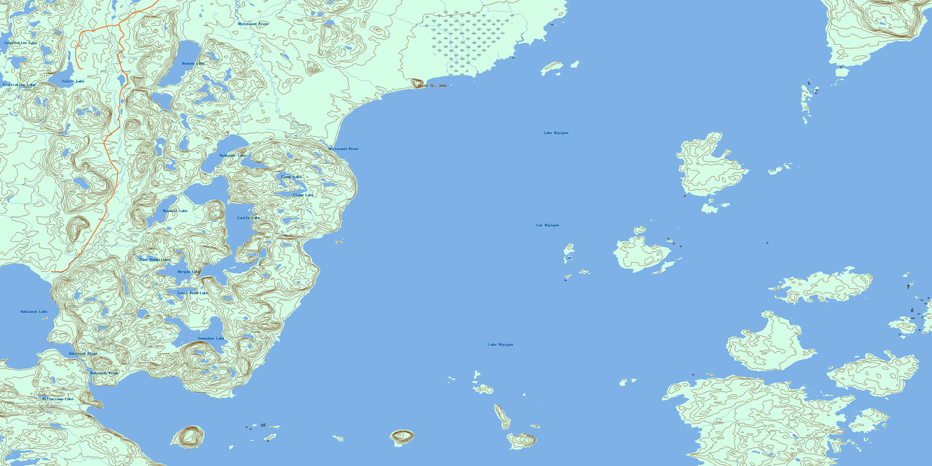
© Department of Natural Resources Canada. All rights reserved.
052I Related Maps:
052I Armstrong052I01 Ombabika Bay
052I02 Castle Lake
052I03 Wigwasan Lake
052I04 Aldridge Lake
052I05 Onamakawash Lake
052I06 Armstrong
052I07 Pikitigushi Lake
052I08 Little Jackfish River
052I09 Mojikit Lake
052I10 Linklater Lake
052I11 Goldsborough Lake
052I12 Wabakimi Lake
052I13 Burntrock Lake
052I14 Grayson Lake
052I15 Whiteclay Lake
052I16 D'Orsonnens Lake
