Red Lake Topo Map Online
Download Free Topo Map Sheet 052N04 at 1:50,000 scale
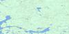
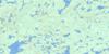
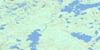
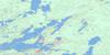
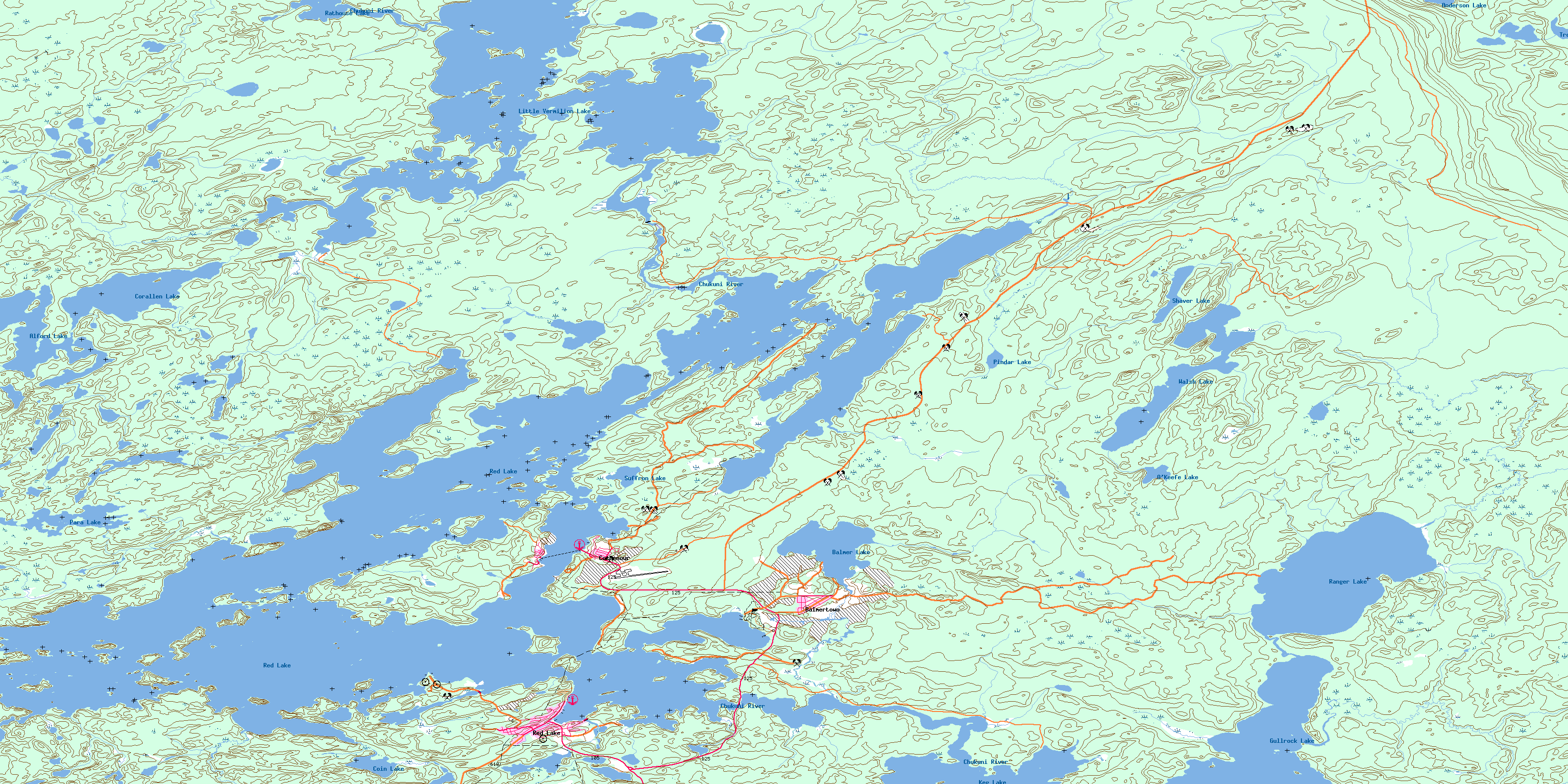
052N04 Red Lake Topo Map
To view this map, mouse over the map preview on the right.
You can also download this topo map for free:
052N04 Red Lake high-resolution topo map image.
Maps for the Red Lake topo map sheet 052N04 at 1:50,000 scale are also available in these versions:
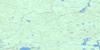
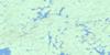
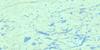
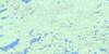
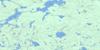
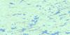
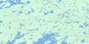
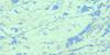
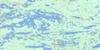
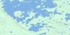
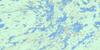
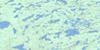
Red Lake Surrounding Area Topo Maps
 |
 |
 |
 |
 |
 |
 |
 |
 |
 |
 |
 |
 |
 |
 |
 |
© Department of Natural Resources Canada. All rights reserved.
Red Lake Gazetteer
The following places can be found on topographic map sheet 052N04 Red Lake:
Red Lake Topo Map: Bays
East BayGold Seekers Bay
Howey Bay
Hoyles Bay
McFinley Bay
McManus Bay
McNeely Bay
Pickerel Bay
Rahill Bay
Skookum Bay
Slate Bay
St. Paul Bay
St. Paul's Bay
Red Lake Topo Map: Beaches
Gold SeekersLittle Gold Seekers
Rahill Beach
Sandy Beach
Red Lake Topo Map: Capes
Abino PointBeatrice Peninsula
Cable Peninsula
Forestry Point
Howey Peninsula
Johnson's Point
McFinley Peninsula
McManus Peninsula
McNeely Peninsula
Skookum Peninsula
Slate Peninsula
Red Lake Topo Map: Channels
Bruce ChannelEast Narrows
Hammell Channel
McKenzie Channel
Middle Narrows
Post Narrows
Red Lake Topo Map: Falls
Parker FallsRed Lake Topo Map: Geographical areas
BairdBalmer
Bateman
Byshe
Dome
Fairlie
Graves
Heyson
McDonough
Ranger
Shaver
Willans
Red Lake Topo Map: Islands
Fisher IslandsGentles Island
Goldray Island
Howey Island
Jack's Island
Mackenzie Island
McCuaig Island
McFinley Island
McKenzie Island
McManus Island
Parnell Islands
Pine Island
Prena Island
White Horse Island
Red Lake Topo Map: Lakes
Alford LakeAnderson Lake
Balmer Lake
Blackbear Lake
Coin Lake
Corallen Lake
Florin Lake
Gullrock Lake
Jackfish Lake
Keg Lake
Little Vermilion Lake
Minnow Lake
O'Keefe Lake
Para Lake
Pindar Lake
Ranger Lake
Rathouse Lake
Red Lake
Shaver Lake
Snib Lake
Suffron Lake
Tomato Lake
Trout Lake
Walsh Lake
Red Lake Topo Map: Other municipal/district area - miscellaneous
BalmertownGolden
Red Lake Topo Map: Conservation areas
Trout Lake Provincial Nature ReserveRed Lake Topo Map: Rivers
Abalard CreekAlford Creek
Balmer Creek
Chukuni River
Coin Creek
Dom Creek
Florin Creek
Medicine Stone River
Medicine-stone River
Para Creek
Pindar Creek
Ranger Creek
Red Lake Topo Map: Towns
Red LakeRed Lake Topo Map: Unincorporated areas
BalmertownCochenour
McKenzie Island
Red Lake
© Department of Natural Resources Canada. All rights reserved.
052N Related Maps:
052N Trout Lake052N01 Jeanette Lake
052N02 Confederation Lake
052N03 Little Trout Lake
052N04 Red Lake
052N05 Nungesser River
052N06 Henfrey Lake
052N07 Shabumeni Lake
052N08 Birch Lake
052N09 Carillon Lake
052N10 Mamakwash Lake
052N11 Pringle Lake
052N12 Kirkness Lake
052N13 Berens Lake
052N14 Nechigona Lake
052N15 Madden Lake
052N16 Wigwasikak Lake
