Stupart Lake Topo Map Online
Download Free Topo Map Sheet 053M09 at 1:50,000 scale
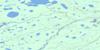
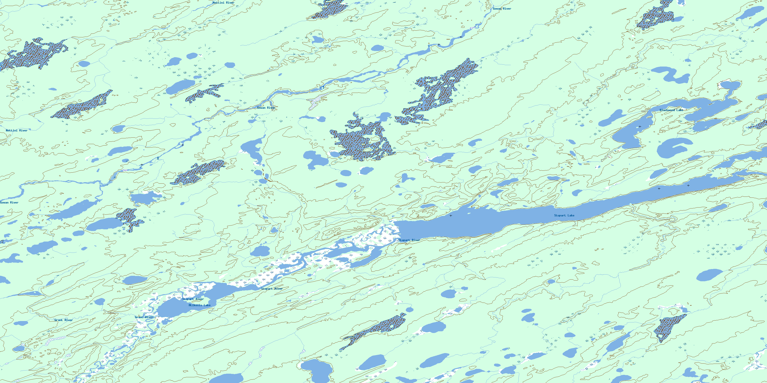
053M09 Stupart Lake Topo Map
To view this map, mouse over the map preview on the right.
You can also download this topo map for free:
053M09 Stupart Lake high-resolution topo map image.
Maps for the Stupart Lake topo map sheet 053M09 at 1:50,000 scale are also available in these versions:
Stupart Lake Surrounding Area Topo Maps
 |
 |
 |
 |
 |
 |
 |
 |
 |
 |
 |
 |
 |
 |
 |
 |
© Department of Natural Resources Canada. All rights reserved.
Stupart Lake Gazetteer
The following places can be found on topographic map sheet 053M09 Stupart Lake:
Stupart Lake Topo Map: Indian Reserves
Oxford House 24dStupart Lake Topo Map: Lakes
Atikosis LakeBlackwood Lake
Jack Williams Lake
Stupart Lake
Stupart Lake Topo Map: Rapids
Roberts RapidsWilliams Rapids
Stupart Lake Topo Map: Rivers
Gowan RiverGrant River
Hunter Creek
Karloske River
Nettini River
Stupart River
© Department of Natural Resources Canada. All rights reserved.
053M Related Maps:
053M Knee Lake053M01 Makakaysip Lake
053M02 Mines Point
053M03 Whitemud Lake
053M04 Powstick Lake
053M05 Cuddle Lake
053M06 Schwatka Lake
053M07 Elsworth Lake
053M08 Wilsie Lake
053M09 Stupart Lake
053M10 Palmer Lake
053M11 Ransom Lake
053M12 High Hill Lake
053M13 War Lake
053M14 Hubley Lake
053M15 Hawes Lake
053M16 Couture Lake
