Johnsons Harbour Topo Map Online
Download Free Topo Map Sheet 063A05 at 1:50,000 scale
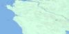
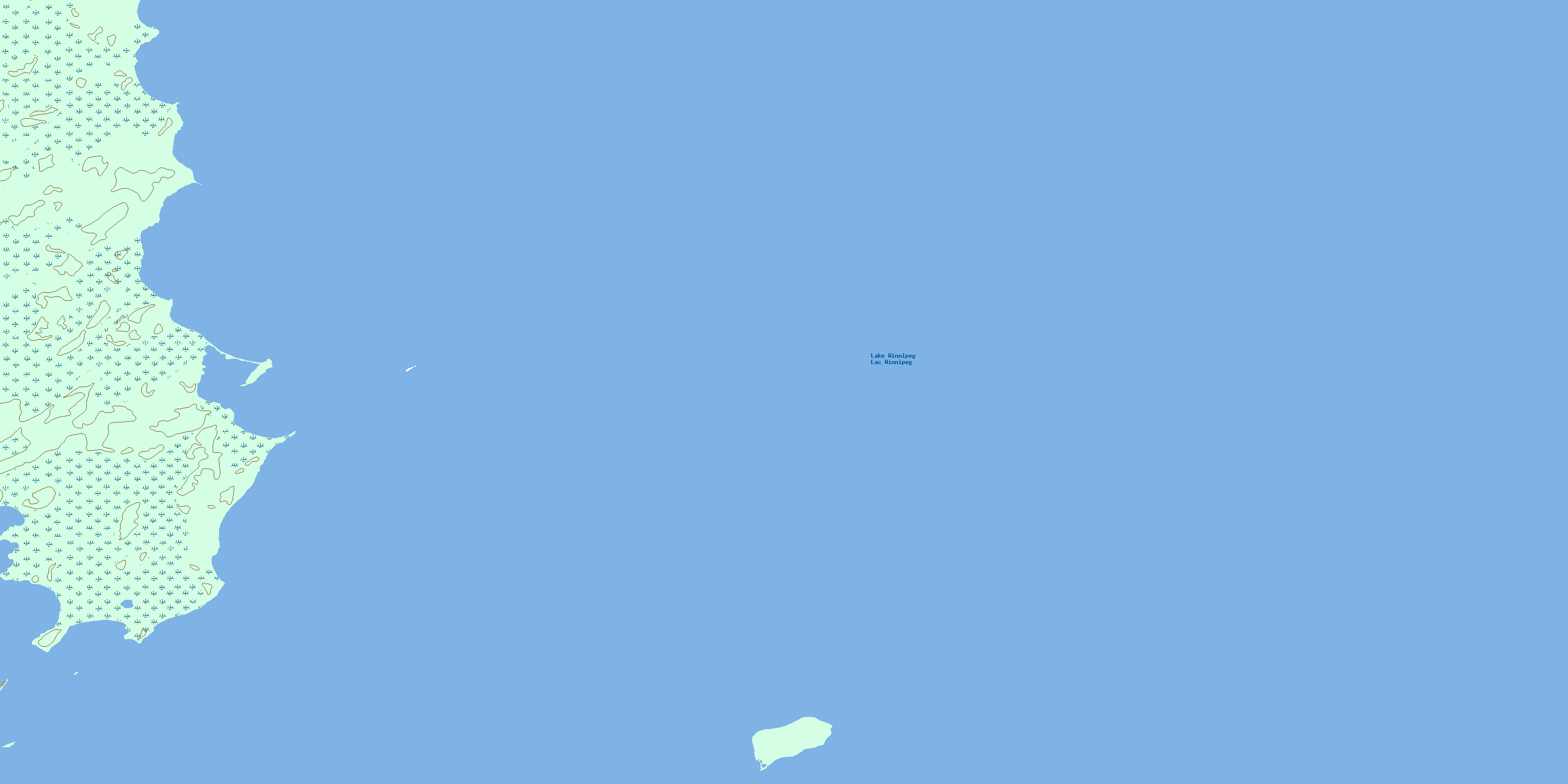
063A05 Johnsons Harbour Topo Map
To view this map, mouse over the map preview on the right.
You can also download this topo map for free:
063A05 Johnsons Harbour high-resolution topo map image.
Maps for the Johnsons Harbour topo map sheet 063A05 at 1:50,000 scale are also available in these versions:
Johnsons Harbour Surrounding Area Topo Maps
 |
 |
 |
 |
 |
 |
 |
|
 |
 |
 |
 |
 |
 |
 |
 |
© Department of Natural Resources Canada. All rights reserved.
Johnsons Harbour Gazetteer
The following places can be found on topographic map sheet 063A05 Johnsons Harbour:
Johnsons Harbour Topo Map: Bays
Johnsons HarbourJohnsons Harbour Topo Map: Islands
Big Sturgeon IslandMcCreary Island
Reindeer Island
St. Martin Islands
Johnsons Harbour Topo Map: Lakes
Lac WinnipegLake Winnipeg
Johnsons Harbour Topo Map: Conservation areas
Reindeer Island Ecological ReserveJohnsons Harbour Topo Map: Shoals
Cummings ReefSucker Reef
© Department of Natural Resources Canada. All rights reserved.
063A Related Maps:
063A Berens River063A01 Short Lake
063A02 Catfish Lake
063A03 Commissioner Island
063A04 Lynx Bay
063A05 Johnsons Harbour
063A06 Berens River
063A07 Seventeen Mile Lake
063A08 One Hole Lake
063A09 Wrong Lake
063A10 Bull Lake
063A11 Mossy Point
063A13 George Island
063A14 Marchand Creek
063A15 Pickerel Bay
063A16 Wekinna Lake
